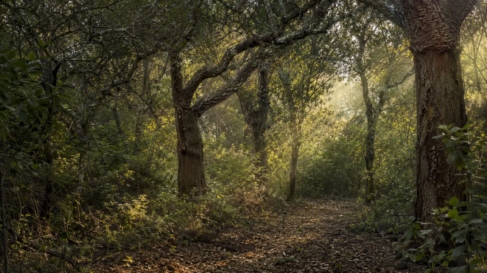
Protected nature · Palo Laziale
Palo Woods
A centuries-old coastal Mediterranean scrubland environment, valuable for its biodiversity and landscape.
In-depth feature in preparation
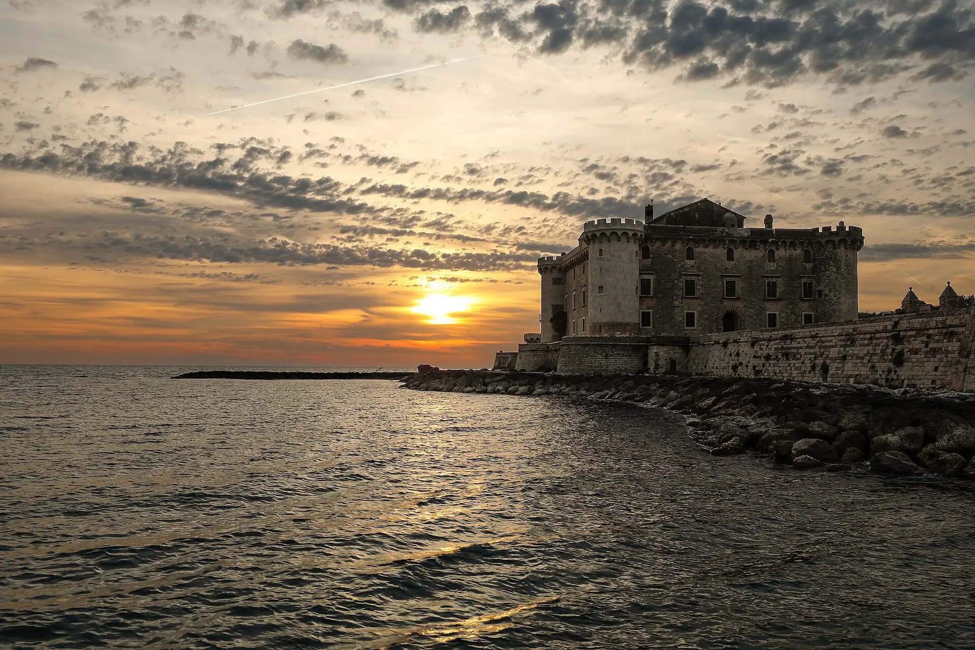 Matteo Pappadopoli · CC BY-SA 4.0
MONUMENTS · NATURE · MEMORY
PLACES THAT TELL THE STORY OF LADISPOLI
The homepage highlights only the two main symbols. Here, the heritage is showcased without cluttering the portal’s entrance.
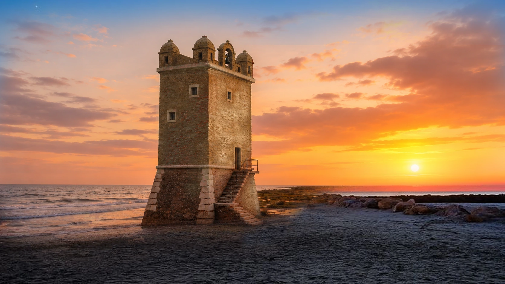
The coastal tower that serves as the city’s symbol, set amidst documented history, the sea, and a protected natural area.
Open the in-depth articleThe major historical landmark overlooking the sea and Palo’s most recognizable silhouette.
Open the in-depth article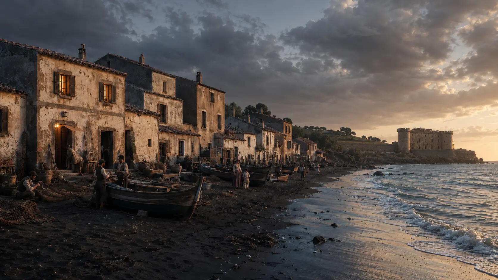
"Case Vecchie" (Old Houses)—along with the tavern, fishermen, and estate facilities—tell the story of the settlement that existed before the founding of Ladispoli.
Open the in-depth article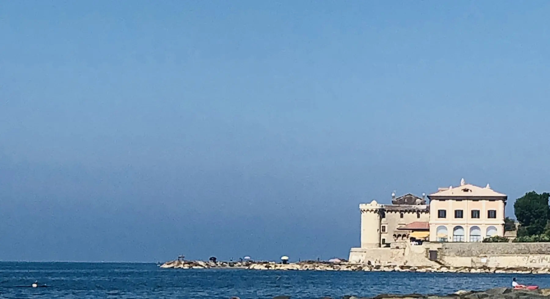
A residence on the Tyrrhenian coast, built within a landscape marked by significant Roman remains.
Open the in-depth article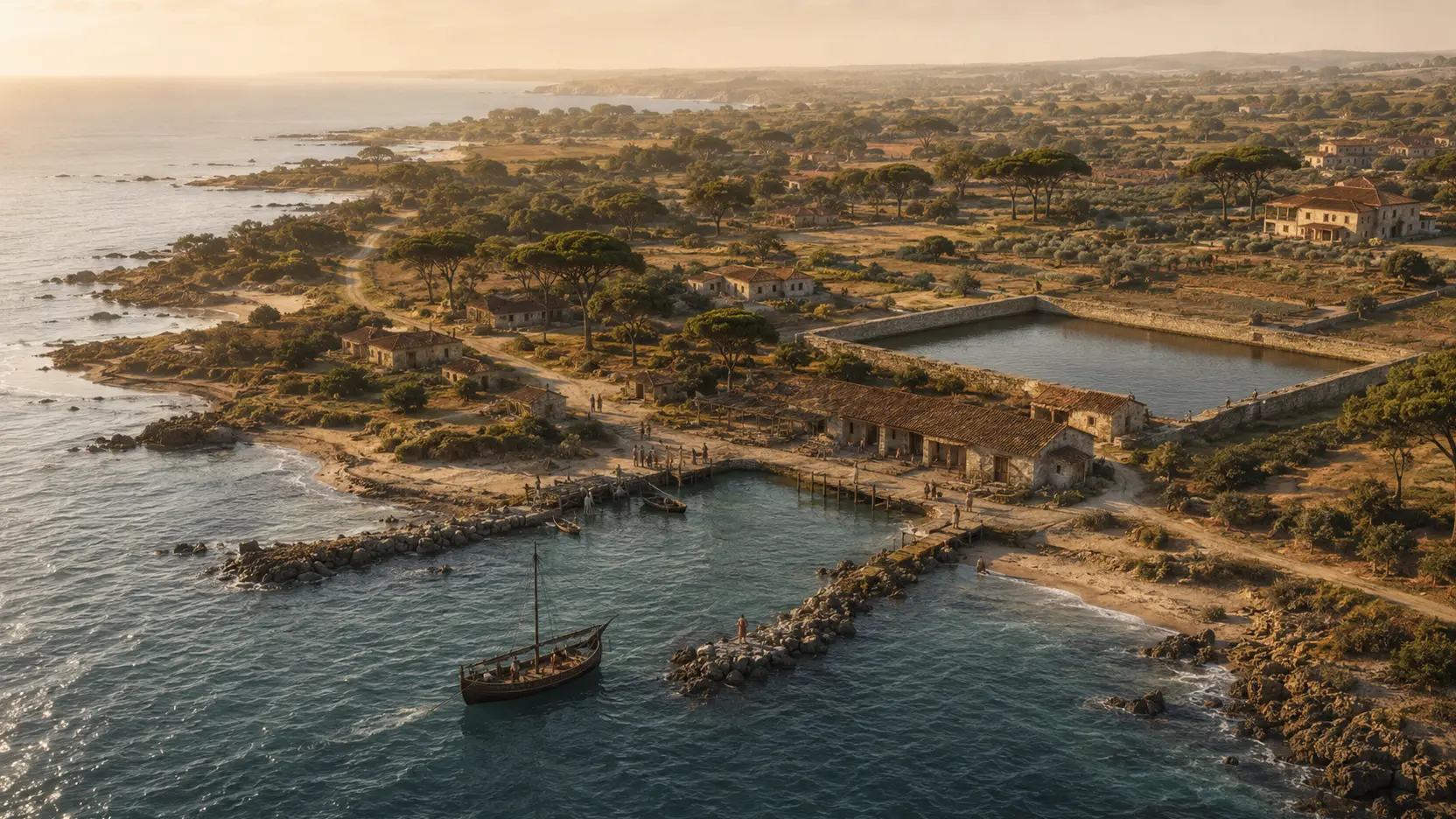
The basin, pier, roads, and villas reconstruct the landscape of the maritime colony, distinguishing between evidence, hypotheses, and legend.
Open the in-depth articleA centuries-old coastal Mediterranean scrubland environment, valuable for its biodiversity and landscape.
In-depth feature in preparation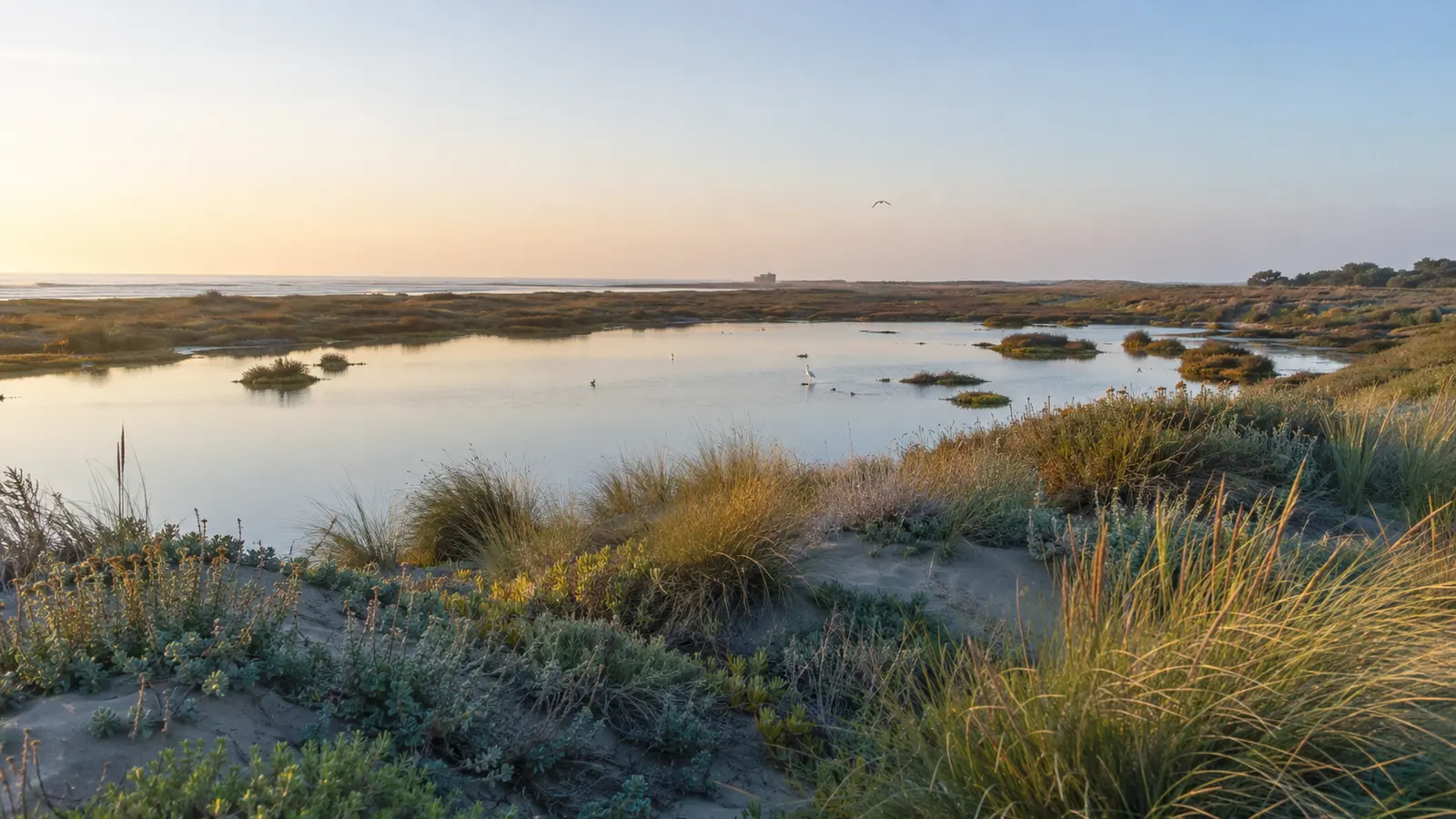
Wetlands, dunes, and birdlife make up the territory's most fragile natural landscape.
In-depth feature in preparation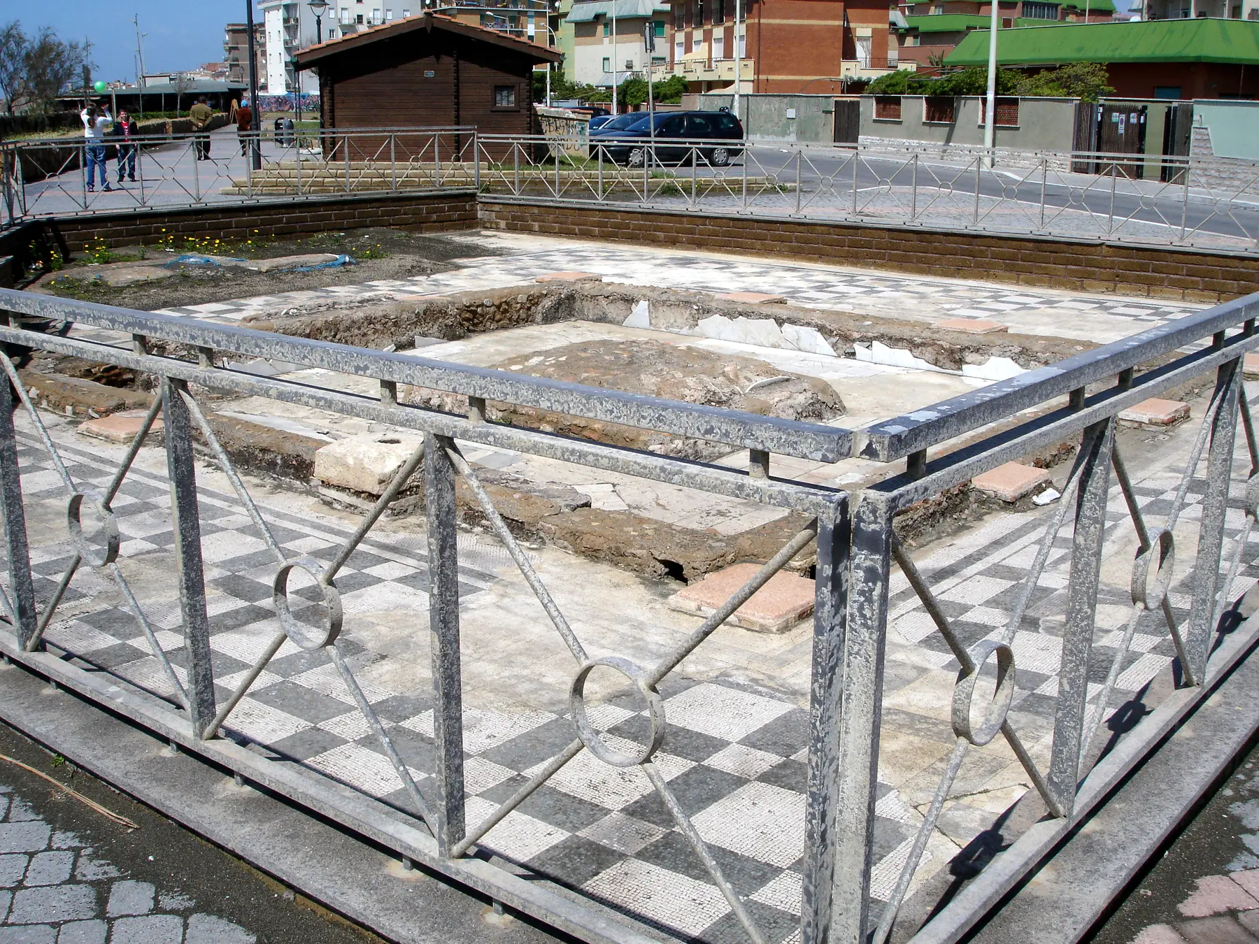
Six distinct sections: the hall and nymphaeum, the Piazza della Rugiada baths, the Via Albatros cistern, and the tomb and structures towards the Sanguinara stream.
Open the in-depth article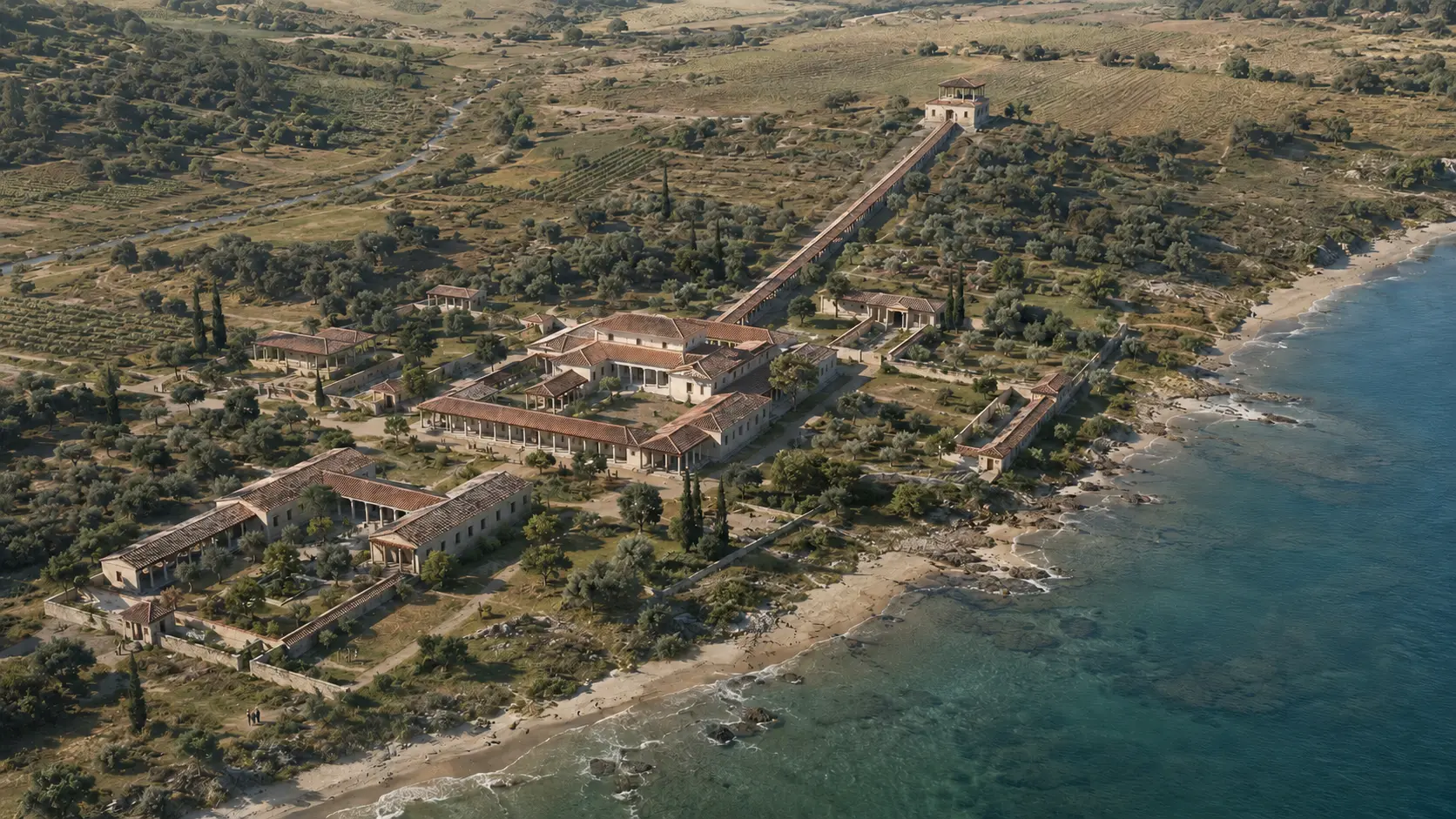
One of the most significant archaeological pieces of evidence for reconstructing the territory of ancient Alsium.
Open the in-depth article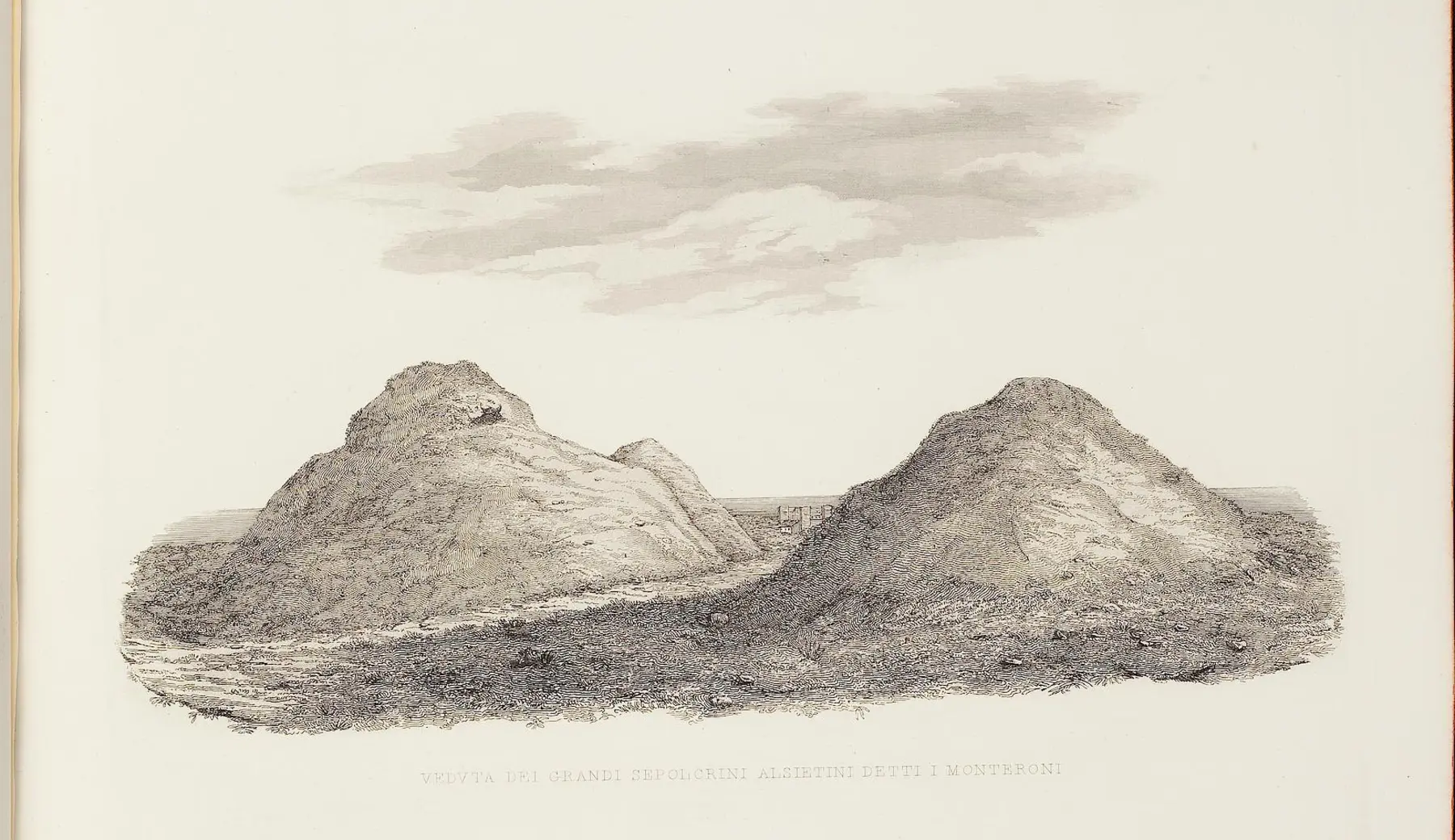
The monumental necropolis that connects the landscape of Ladispoli to its most ancient roots.
Open the in-depth article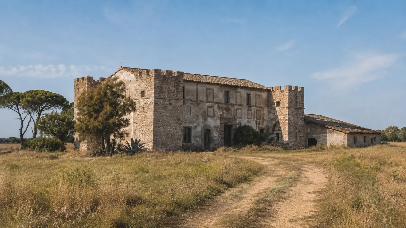
The ancient fortified station linked to the routes and travelers of the Via Aurelia.
Open the in-depth article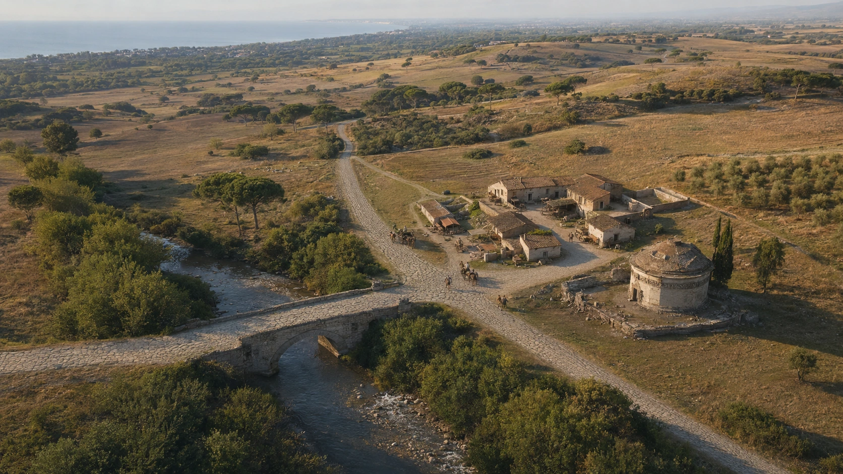
Bridge, Roman station, mosaics, and medieval *castrum* tell the story of sixteen centuries of passage along the Via Aurelia.
Open the in-depth article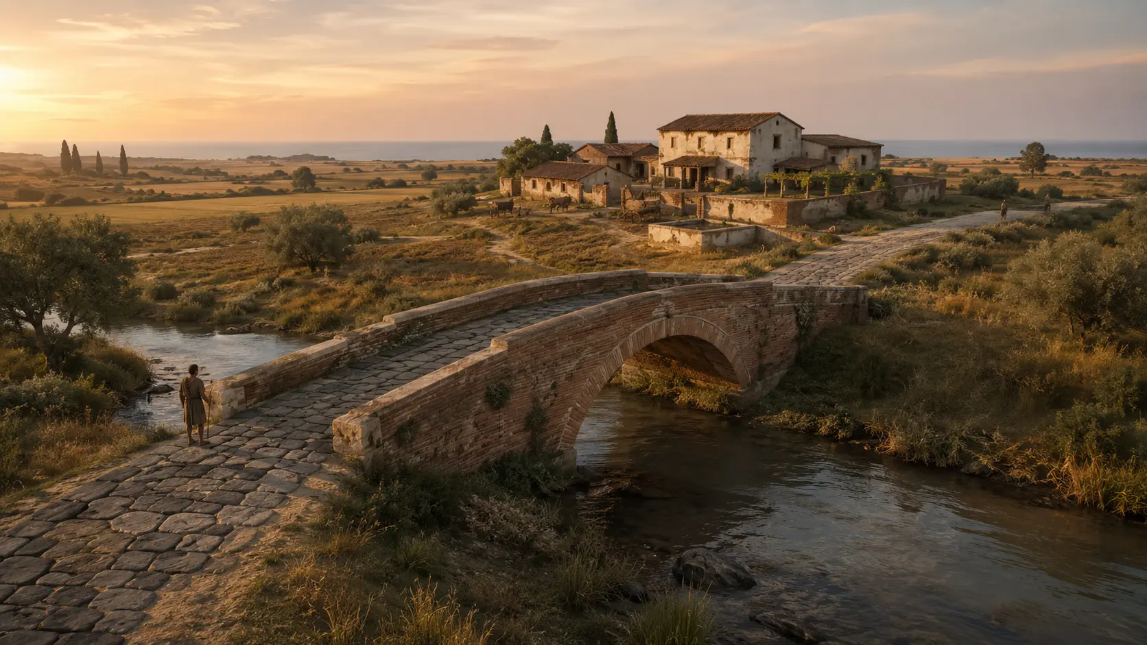
Bronze Age village, cistern and *torcularium*, Ostrogothic tombs, Roman bridge, and paved road along the Fosso Vaccina.
Open the in-depth article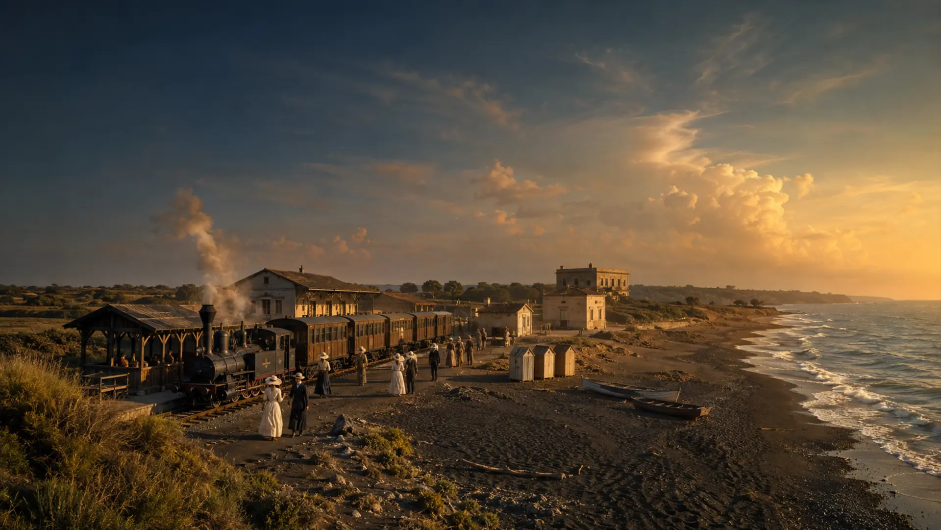
From the 1888 decree to the seaside resort, from the small railway spur to the autonomous municipality established in 1970.
Open the in-depth article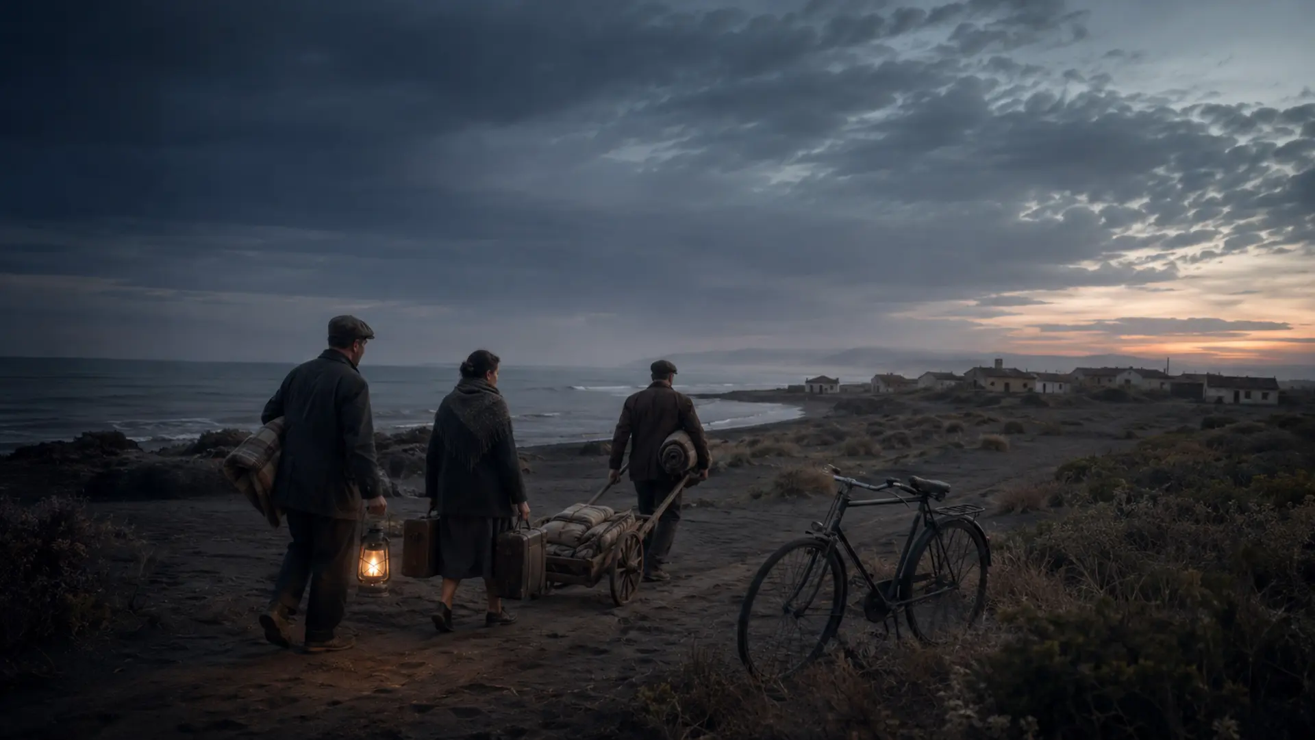
Coastal defenses, displacement, destroyed monuments, and public memory, distinguishing between established facts and unresolved questions of responsibility.
Open the in-depth article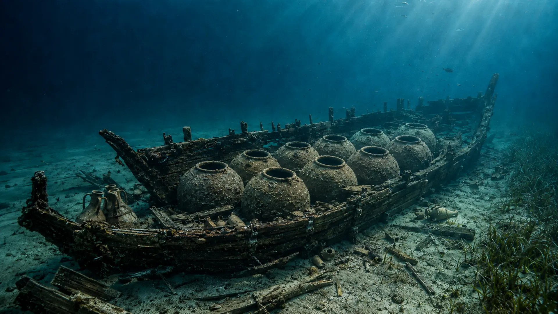
A cargo ship, ten to twelve large jars, and the crew’s personal effects: the story of a Roman shipwreck told without pinpointing the actual wreck site.
Open the in-depth article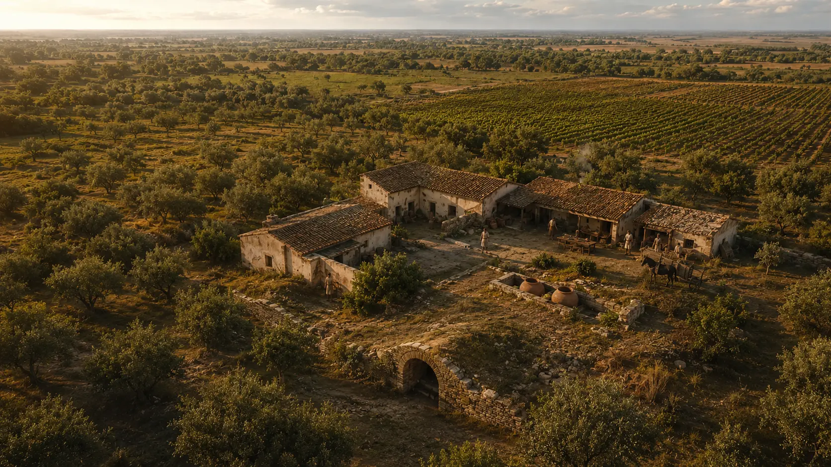
A vaulted section, a staircase, and evidence of Roman agricultural production in the heart of the modern city.
Open the in-depth article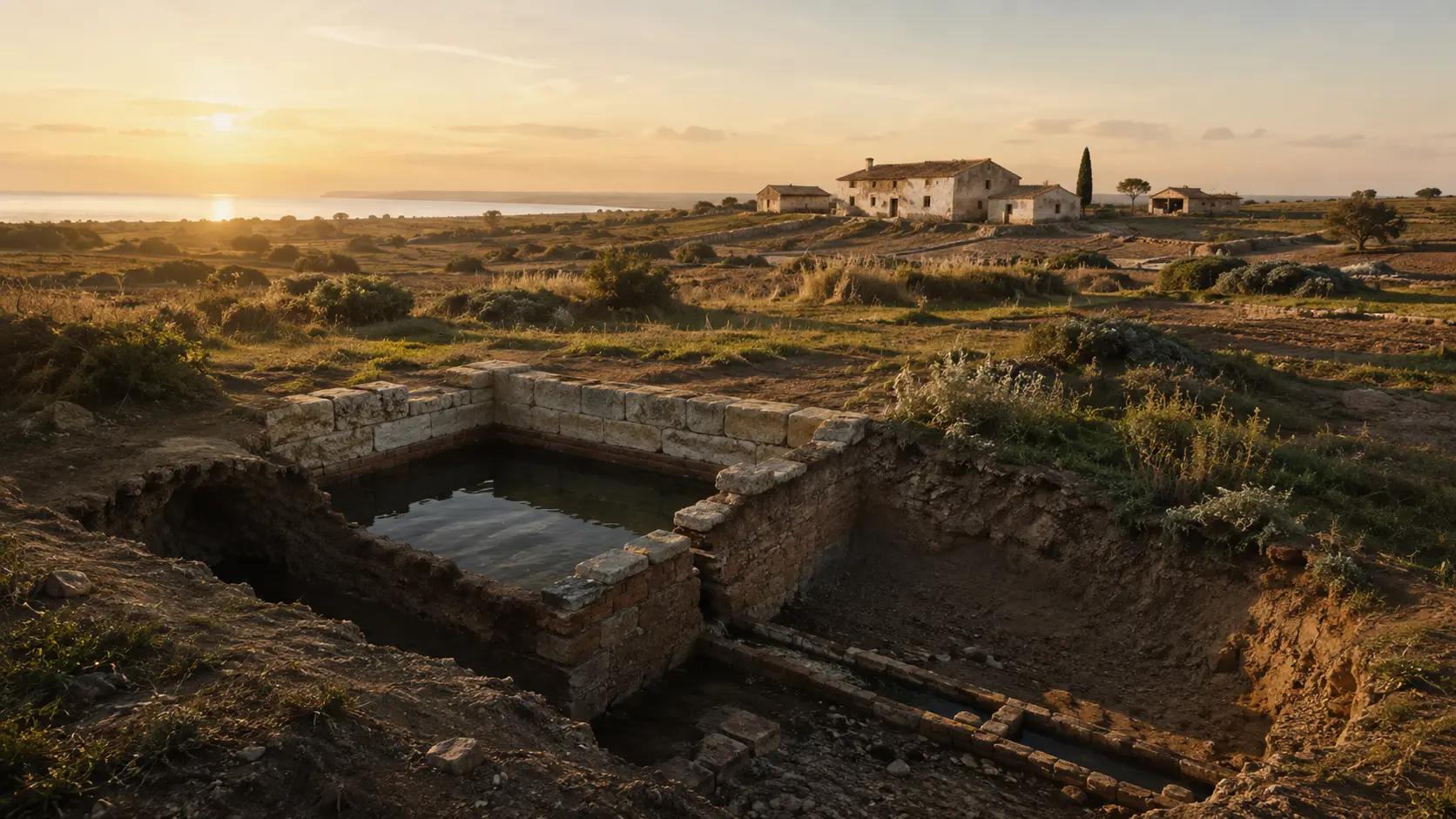
Muracci di Palo and Casale al Vento: two distinct structures, interpreted through actual photographs, context, and the limitations of the research.
Open the in-depth article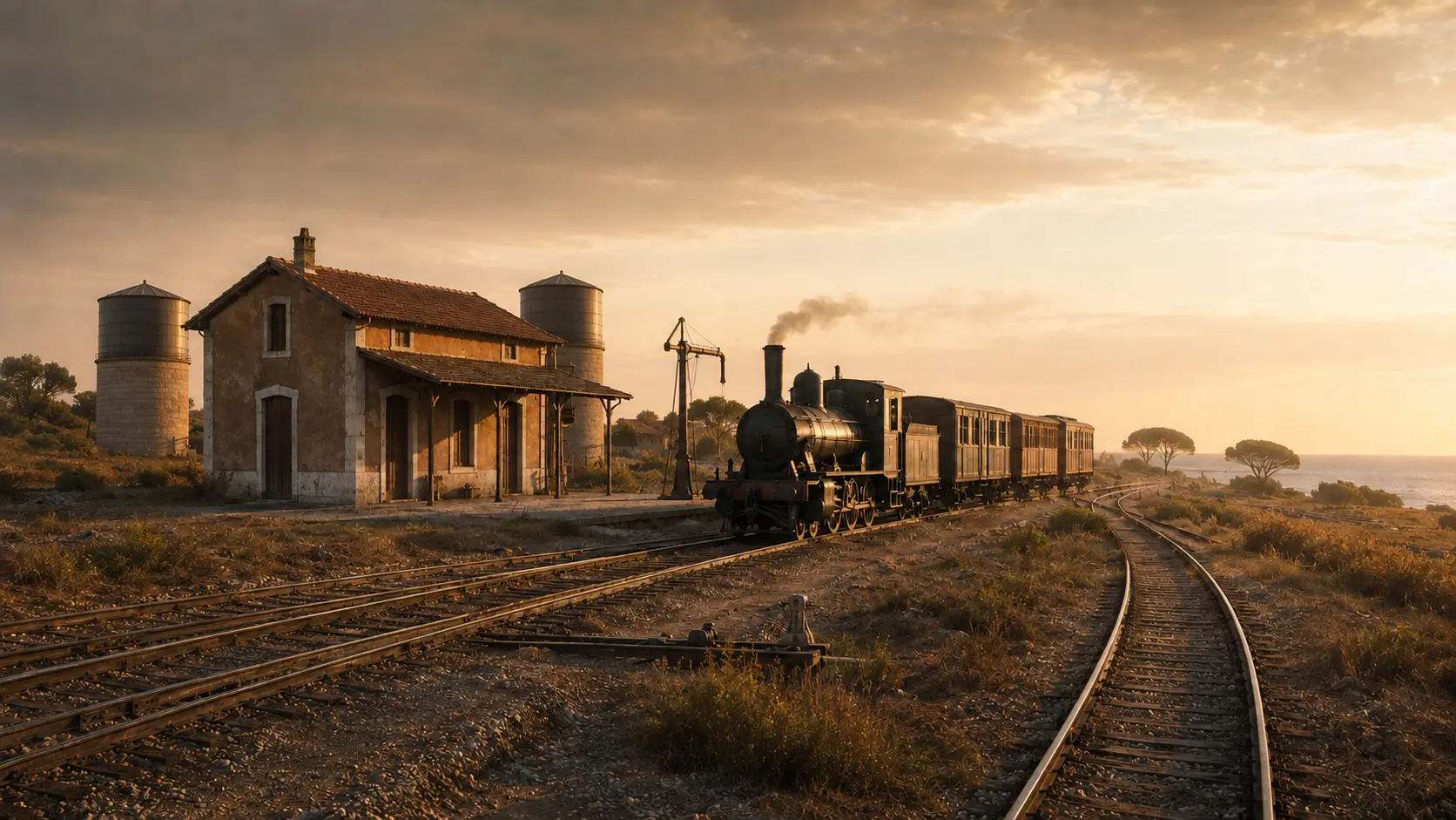
The line dating from 1859, the 1888 junction to Ladispoli, and the water supply facilities for steam locomotives.
Open the in-depth article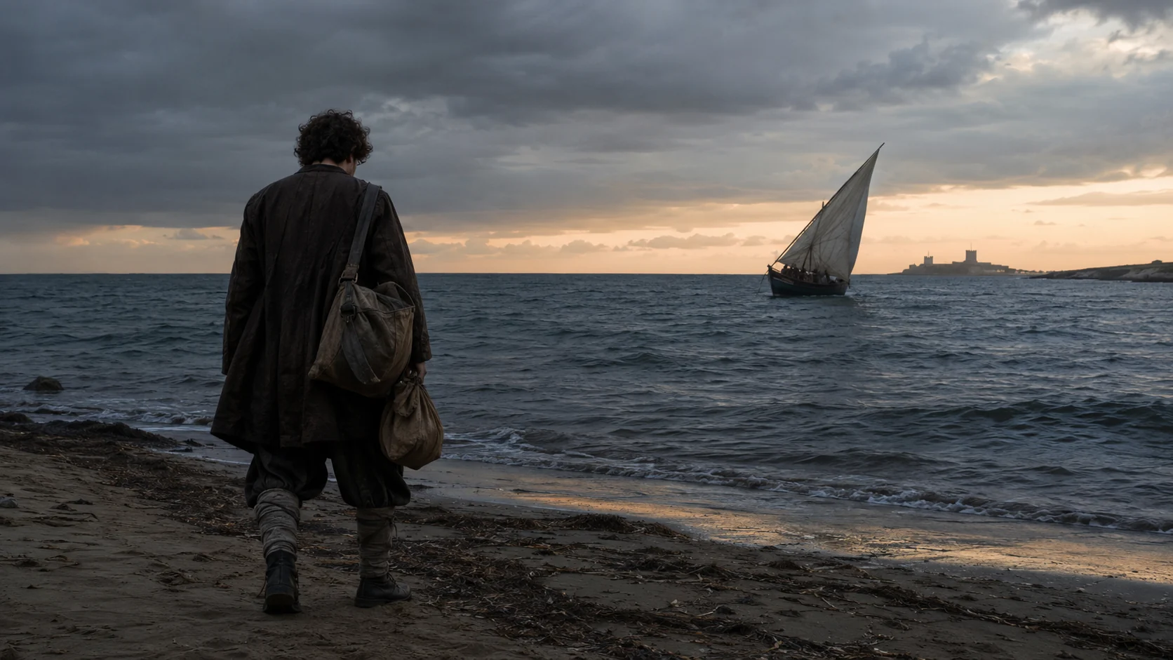
The *felucca*, his arrest in 1610, his death in Porto Ercole, and the contemporary bust on the seafront.
Open the in-depth article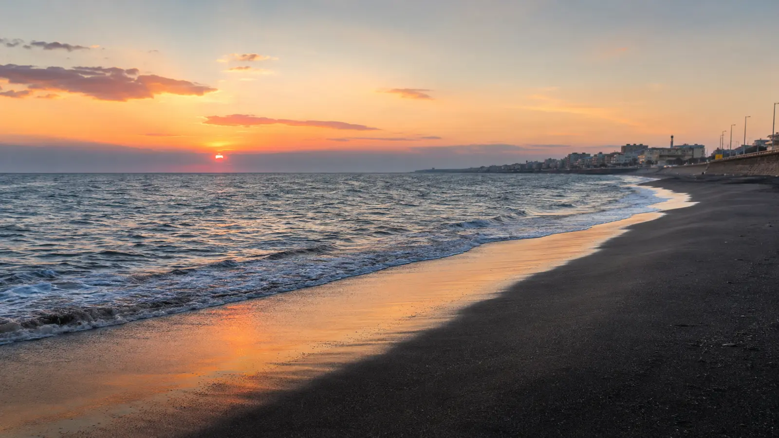
The Tyrrhenian Sea, the dark sand, and the coastal light are part of the city's visual identity.
In-depth feature in preparationTRANSPARENT CENSUS · UPDATED AS OF AUGUST 2026
The municipal file lists the main historical and archaeological sites. Here, we also catalog individual features within the complexes—bridges, cisterns, thermal baths, tombs, paved roads, and submerged structures—and include 20th-century civic heritage. Each entry clearly indicates the current status of the work.
Open the Municipality · GATC · GAR censusANALYTICAL CATALOGUE OF COMPLEXES
A villa, a colony, or a Roman station may consist of multiple structures located at a distance from one another. This index separates the individual physical sites—without counting them as independent monuments—and links them to the previously published main page.
28 distinct units, structures, and markersRemains of the ancient Via Aurelia crossing, distinct from the Ponte dell’Incastro bridge over the Fosso Vaccina.
Via Aurelia · Fosso CupinoCircular tower mausoleum near the road junction; it may be the origin of the ancient place name *Ad Turres*.
By the bridge over the Fosso CupinoStructures interpreted as a staging post and rest stop along the route between Rome and Centumcellae.
Via Aurelia · before the bridgeInterpreting the site as a *mansio* (a Roman waystation) is a probable archaeological hypothesis, not a definitive identification based on epigraphic evidence.A Roman villa on the hill was affected by the subsequent construction of the medieval fortification.
Hill overlooking the Fosso CupinoSections of ancient paving make it possible to trace the road route connected to the bridge and the station.
Statua · Ceri junctionLong underground passage with light wells, connected to the porticoed garden facing the sea.
Marina di San NicolaThermal areas featuring marble, frescoes, and mosaics stood alongside at least three large porticoed gardens.
Main core of the villaAn eastern portico measuring approximately 164 meters and a second, two-aisled structure featuring a tower defined the coastal complex.
Eastern and south-western sectorsThe Roman colony occupied the site of the earlier Etruscan landing place and organized the coastal landscape with villas and roads.
Palo LazialeThe basin, pier, and coastal masonry belong to the port system, which can now only be discerned in fragments.
Beneath and around the Castle of PaloA structure for managing seawater and fishery resources, integrated into the landscape of coastal villas.
Palo coastRoad networks connected the port, the colony, and the seaside villas, though they did not necessarily align with the modern coastline.
Palo · coastal stripHeated rooms and residential structures form one of the visible sections of the large coastal villa.
Piazza della Rugiada · Marina di PaloThis is the site documented by historical sources; it should not be confused with Piazza Domitilla.Large two-aisled reservoir—originally barrel-vaulted—featuring small arches in the central wall and external buttresses.
Via Albatros · Marina di PaloRectangular tomb showing traces of the internal spiral staircase leading to the elevated burial chamber.
Marina di Palo seafront promenadeThe traditional attribution to Lucius Verginius Rufus is unproven.A square room measuring approximately 14 meters, featuring a central basin, a fountain, an Ionic portico, mosaics, and an apse likely intended as a nymphaeum.
Lungomare Regina ElenaA wall—once over 50 meters long—belonged to a rectangular structure with a semicircular side, perhaps a portico or an ornamental pool.
Edge of the beach · Marina di PaloConcrete remains with brick facing complete the picture of the dispersed archaeological complex on the seaward side.
Beach and mouth of the Fosso SanguinaraStatuettes and anatomical votive offerings found in fill soil indicate the presence of a place of worship predating the villa.
Marina di Palo · Precise location undefinedIts origin in fill soil makes it impossible to pinpoint the exact original location of the votive deposit.Postholes, wooden structures, and Mycenaean-style pottery document a settlement predating the Roman city.
Piane and Campi di VaccinaA villa with a small bath complex occupied part of the earlier Etruscan funerary area during the Roman period.
Hill on the Fosso VaccinaNext to the cistern, a *dolium* (large storage jar) and a collection basin indicate a production area used for pressing wine or oil.
Viale Florida · Viale VirginiaCapuchin-style tombs reused abandoned spaces; a young woman possessed a gold ring and cicada-shaped fibulae of Ostrogothic tradition.
Near the cistern and *torcularium* (wine/oil press)Two brickwork walls on opposite banks supported the arch of the ancient crossing.
Fosso Vaccina · downstream of the cisternThis is not the Ponte di Statua over the Fosso Cupino.Lava stone pavers between the bridge abutments attest to the paving of the ancient roadway.
Fosso Vaccina stream bedImposing barrel-vaulted substructure, partially excavated and restored by the Superintendency.
Via Nervi · Don Bosco schoolProduction and storage areas document the villa's agricultural function alongside its substructural architecture.
Rustic section of the villaThe report has been logged, but no record identifying a distinct site at this location has yet emerged from the archaeological sources consulted.
Piazza Domitilla · precise location to be providedA photograph or the exact location is required, along with verification from the Municipality or the Superintendency. It is not to be confused with Piazza della Rugiada, where Roman remains are documented.ARCHAEOLOGY AND MONUMENTS
Road junction, bridge, funerary monument, and remains of the Roman *mansio*; traces of the medieval *castrum* are visible on the hill.
Via Aurelia km 32.600 · Ceri junctionA villa covering at least five hectares, featuring porticoed gardens, baths, mosaics, and a long cryptoporticus.
Marina di San Nicola · Fosso CupinoFortified farmhouse and waystation on the ancient Via Aurelia; currently a municipal property undergoing restoration.
Via dell’Acquedotto di StatuaLarge Orientalizing-style tumuli, chamber tombs, and later Roman burials along the road.
Monteroni · ancient Via AureliaThe maritime colony, the harbor structures beneath the ramparts, a large fishpond, and traces of the coastal road network.
Palo Laziale · beneath and around the CastleA coastal fortress transformed into a residence, interpreted through archival sources, engravings, and period photographs.
Palo LazialeThe settlement linked to the estate and the Castle, transformed over time and distinct from the Roman city of Alsium.
Palo Laziale · around the CastleThe page distinguishes between surviving structures, buildings that have been repurposed, and lost elements.Historic residence built over a seaside villa featuring mosaics and archaeological areas accessible only by appointment.
Palo LazialePolychrome mosaics, masonry, and artifacts from a seaside villa now incorporated into the historic residence.
Palo Laziale · lower levels of the palaceIt is listed as a distinct archaeological site but has already been covered extensively on the page dedicated to the palace.A sprawling complex: a room with a pool and mosaics, thermal baths, a cistern, a funerary monument, and structures on the beach.
Seafront promenade · Piazza della Rugiada · Via AlbatrosRural villa with vaulted cryptoporticus, staircase, probable *doliarium* (storage area for large jars), and oil press near the Don Bosco school.
Via Nervi · Via RapalloThe page distinguishes between documented structures and those with unknown layouts, relying solely on explicitly stated visual comparisons.At least sixty Etruscan tombs, two large tumuli, and—situated above the necropolis—a Roman villa with a small thermal bath complex.
Hill on the Fosso VaccinaCistern of a rural villa, *torcularium* (wine/oil press), and Late Antique burials with exceptional grave goods of Germanic tradition.
Viale Florida · Viale VirginiaRemains of arch supports and paving stones from the road surface in the ditch bed.
Fosso VaccinaListed as a distinct element, although the file describes it together with Piane di Vaccina.A 16th-century coastal defense tower; damaged during the war, it is currently undergoing conservation restoration.
Northern coastlineLarge rural hydraulic structure, distinct from the cistern on Via Albatros in Marina di Palo.
Olmetto areaThe cistern represents one phase of a site that saw long-term use, with evidence suggesting the presence of a small rural sanctuary.
Via Casal dei VentiAncient structures noted at the base of and surrounding the tower; currently partially submerged or exposed to erosion.
Torre Flavia coastlineNo detailed coordinates or access directions until the site is verified with the Superintendency.Protection notice included in territorial planning, though still lacking a comprehensive public information sheet.
Municipal territory · location to be verifiedTwo distinct territorial records; these should not be automatically merged with the Piane di Vaccina cistern record.
Le Piane · location to be verifiedArea of archaeological interest recorded in territorial planning; to be verified against Superintendency documentation.
Municipal territory · location to be verifiedTwo separate technical reports requiring a review of heritage designation records prior to detailed publication.
Municipal territory · location not disclosedCaution protects the sites and prevents the confusion of cartographic records with locations that are actually open to visitors.Coastal structure recorded in territorial planning; it has yet to be dated or definitively distinguished from ancient harbor remains.
Municipal coastline · location to be verifiedIt is not presented as a Roman pier until the chronology is confirmed by heritage protection documentation.ARCHITECTURE AND URBAN MEMORY
The church linked to the town's founding; its foundation stone was blessed in 1912, and its construction was completed in the 20th century.
Ladispoli town centerThe parish has roots dating back to the 18th century, while the building visible today dates to the early 20th century.
Palo · crossroads of the Via AureliaWork by Luciano Rossi, inaugurated on June 6, 1954; a plaque commemorating the fallen of Nassiriya was added in 2004.
City centerA marble capital originally created for Piacentini’s Termini Station project and later transformed into a fountain in Ladispoli.
City centerPublic memorial dedicated to the pilot captain who fell on July 9, 1940.
Piazza Valerio ScarabellottoPalo served the Rome–Civitavecchia line and, from 1888, was the junction for the short seaside railway; 1891 marks the doubling of the track, not the exact date of the building's construction.
Palo · Rome–Civitavecchia lineThe page distinguishes between the Palo station—the coastal terminus from 1888—and the Ladispoli–Cerveteri station from 1939.The railway junction that replaced the earlier seaside terminus and accompanied the urban growth of the late 20th century.
Piazzale RomaThe building’s architectural transformations still require a detailed chronology.Two surviving elevated tanks and a water column, associated with the refueling of steam locomotives.
Former Palo Laziale stationPrecise dating, ownership of individual structures, and access details remain to be verified; these are not Roman cisterns.The town's first school, still in use: a building representing the civic growth of Ladispoli in the early 20th century.
Via LazioSite of civic and cinematic memory; the municipal hall is accessible during events.
Via Duca degli Abruzzi 197Before finalizing the page, the condition of the entire building must be verified, not just the municipal hall.A route to explore the original seaside resort, the hotels, and the surviving villas, free from unverified attributions.
Historic center · Via Duca degli AbruzziIndividual villas will be published only after land registry verification and a photographic site visit.One of the seaside town’s oldest hospitality establishments—still in existence, though transformed over time.
Central seafront promenadePrivate building attributed to engineer Vittorio Cantoni; requires documentation via sources and current photographs.
Piazza della VittoriaPrivate building surviving from the original seaside development; requires documentation including address, land registry history, and an authorized photographic survey.
Historic centerThe urban landscape introduces the Art Nouveau (Liberty style) fabric; this building still requires verification against land registry records and independent photographic documentation.A system of at least three circular, single-weapon emplacements along the coast, requiring on-site documentation and photography.
San Nicola · PaloTwo foundational sites that have since disappeared, to be recounted through maps, archival photographs, and the shape of the modern city.
Historic centerThese are not monuments open to visitors; they will be treated as sites of memory.The wooden structure of the seaside resort has disappeared; photographs, advertisements, and maps can help reconstruct its social role.
Early seaside LadispoliContemporary work by Sergio Bonafaccia linking public memory to Caravaggio's controversial stopover in Palo.
Marina di Palo seafront promenadeThe page distinguishes the 2021 work from the 1610 documents and does not present Palo as the confirmed location of death.A commemorative element to be described as part of the civic complex of the Piacentini Fountain.
Piacentini Fountain Garden