The small tower at Cerveteri
II-C.D.1, letter 4280, bundle 39Martino d’Ayala’s memo specifies an elevated platform, vaulted structures, and two pieces of artillery. It makes no mention of Torre Flavia; a connection remains probable but unproven.


Ladispoli’s iconic monument
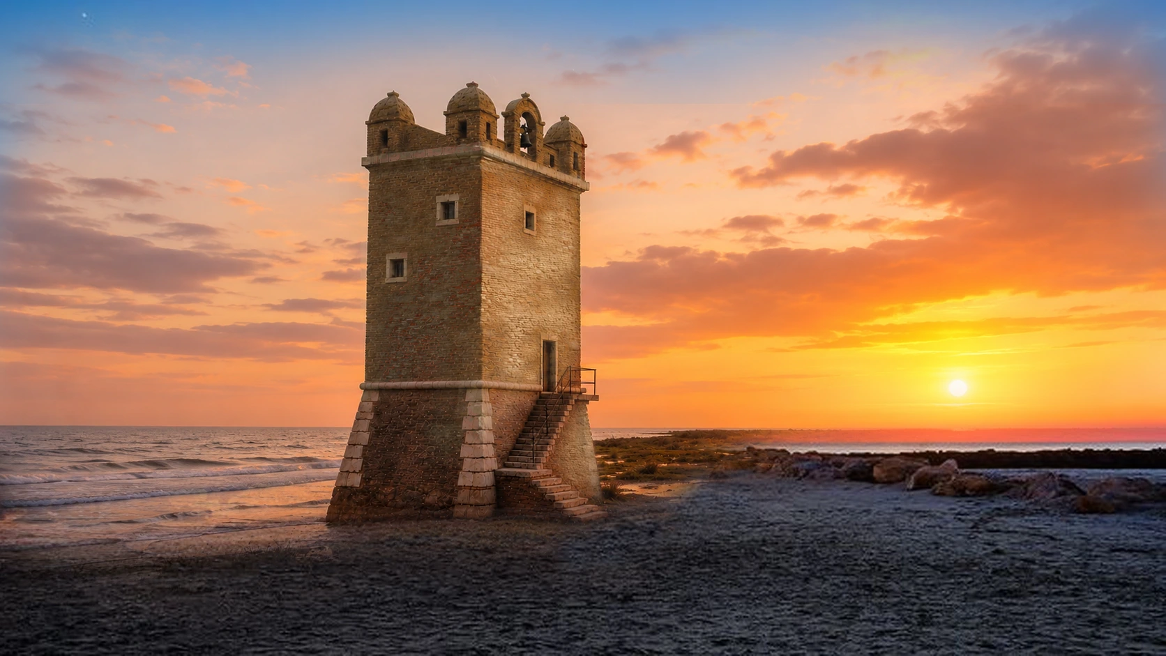
A 16th-century coastal tower, a landscape transformed by the sea, and a story that deserves to be told without legends passed off as facts.
VERIFIED HISTORY
Torre Flavia was part of the surveillance and defense system for the Papal States' coastline. Its 16th-century design is traditionally attributed to Flavio Orsini.
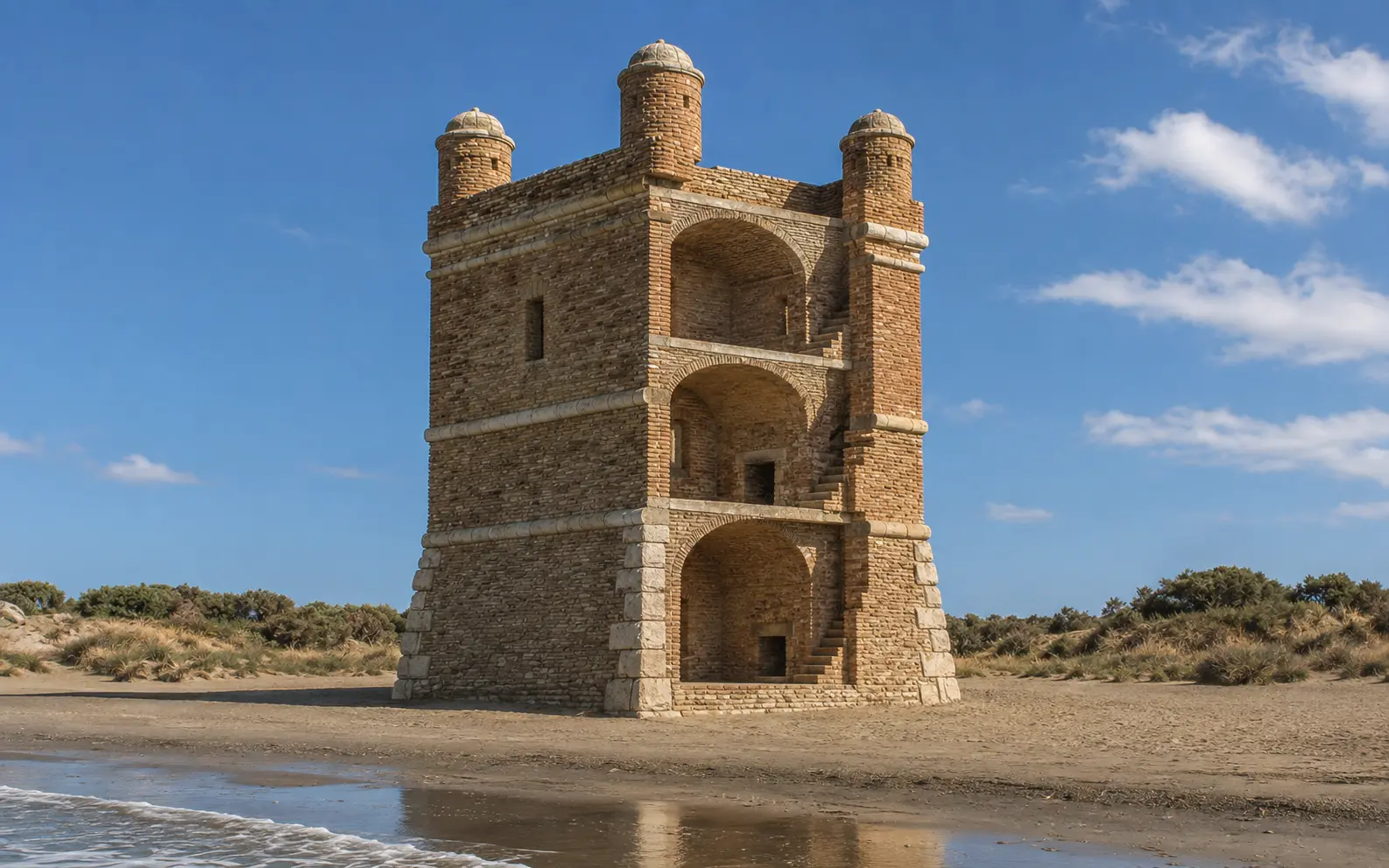
The note regarding the "torretta de Cervetari" (Cerveteri turret)—often dated to 1563 in local publications—actually belongs to a defensive program documented in 1567 and does not mention Torre Flavia. The earliest unequivocal description found to date dates to 1603: a newly renovated tower featuring four corner watch-turrets, still awaiting the requested cannons.
The existence of an earlier structure is plausible but remains a hypothesis. For this reason, the page defines Torre Flavia as neither “Roman” nor certainly “medieval”: it distinguishes what is documented from what requires further evidence.
EIGHT ESSENTIAL STEPS
Each section indicates its level of certainty: document, attribution, description, or hypothesis.
Archaeological sources suggest the existence of an earlier structure, possibly medieval. A connection to nearby Roman remains is possible but not definitively proven.
Stated hypothesisIn the coastal development plan of 1567, a note by Martino d’Ayala orders that the small tower be raised, its vaults constructed, and the structure armed. The date 1563 appears in local publications; The identification with Torre Flavia, while plausible, is not definitive.
Published source · Probable attributionCurzio Gallacci finds a newly renovated, sturdy tower equipped with four corner watch-turrets, yet still lacking the two cannons required for defense.
ASR · Troops and galleys"Torre Flavia" appears on the *Carta della Spiaggia Romana* (Map of the Roman Beach), marked as belonging to the Duke of Bracciano; this is one of the earliest explicit cartographic references to the name.
cartographic evidenceChamber records describe the elevated entrance with an external staircase and a ground floor lacking direct access; surveys show a room, a fireplace, windows, and an internal staircase.
ASR · Camerale III, b. 835Cadastral and military engineering records list floors, parapets, a small furnace, a large room, and an upper room shared by the outpost commander and the health inspector.
Period technical description.The destruction that occurred during the war is a confirmed fact. In the absence of a definitive primary military source, this page does not attribute the action to a specific perpetrator or describe the precise sequence of events.
confirmed event, open-ended dynamicsThe Region commits €2 million in 2025; the environmental screening concludes favorably, and construction begins in the spring of 2026.
administrative actsFROM STORYTELLING TO SIGNATURE
The source is not the site that summarizes a story, but the document that allows us to verify it. When the original has not been digitized, we publish at least the archive name and the reference code.
II-C.D.1, letter 4280, bundle 39Martino d’Ayala’s memo specifies an elevated platform, vaulted structures, and two pieces of artillery. It makes no mention of Torre Flavia; a connection remains probable but unproven.
Soldiery and galleys, box 4, folder 19It is the first description to clearly identify the structure: four guardhouses, a robust build, and artillery pieces yet to be delivered.
Alexandrine Cadastre, vol.
428/4The Campo di Mare district places the tower on the mainland, amidst ditches, ponds, and the coastline—a crucial detail for interpreting subsequent erosion.
Camerale III, b.
835 · ASR Library, ms.
169Floor plans, elevations, and reports describe the elevated entrance, staircases, large chamber, partitioned upper room, parade ground, and signaling system.
Methodological note. Published transcriptions provide verifiable clues but cannot replace an examination of the original document. Consequently, this page does not elevate an indirect citation to a level of certainty greater than it inherently possesses.

READING THE RUIN
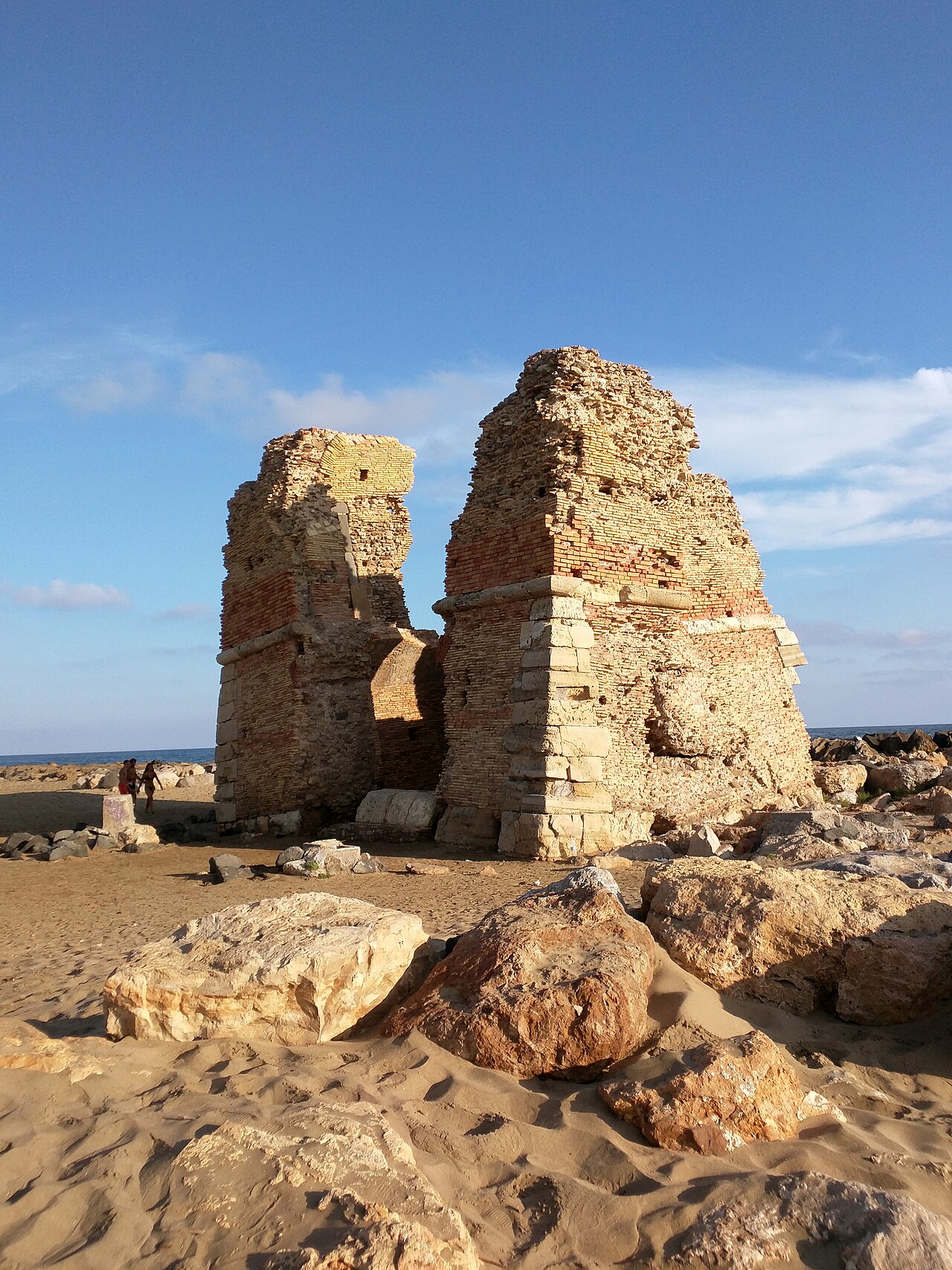
Historical descriptions and surveys make it possible to reconstruct a building with a square plan, organized across multiple levels and designed for defense.
Un volo attorno alla ricostruzione di Torre Flavia, tra il mare e la palude costiera di Ladispoli.
DOCUMENTS, SURVEYS, AND HYPOTHESES
The documents from 1781–1846 offer far greater insight into the tower than any generic description.
The original LADISPOLI.IT model reconstructs a possible late-stage configuration of the tower—the one best described by historical documents. While the general structure is based on physical traces and documentary sources, elements such as openings, internal connections, and finishes inevitably involve an element of interpretation.

This view follows the same navigable photographic model used by LADISPOLI.IT: documents, surveys, and hypotheses remain part of the same narrative, without incorporating external reconstructions.
The University of Florence team surveyed every elevation and much of the interior surface area using over a thousand photographs. The model allows for the examination of the surviving material and the virtual realignment of fragments; it does not, on its own, reconstruct the furnishings or the original use of the spaces.
Open the full-screen view
THE CHANGING LANDSCAPE
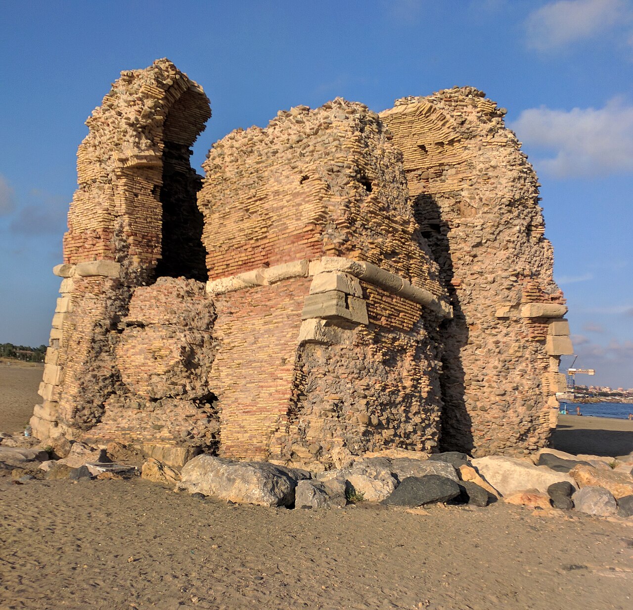
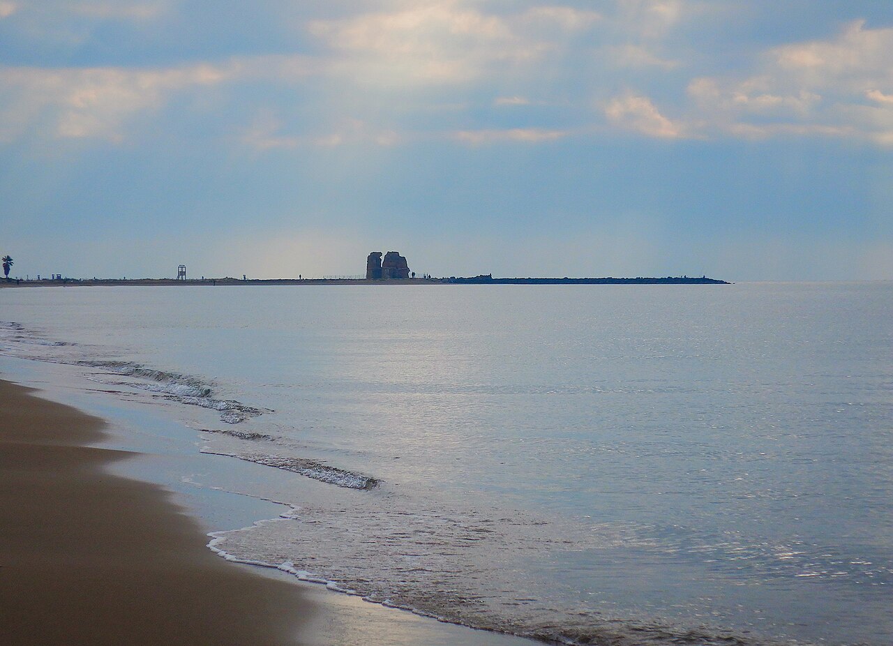
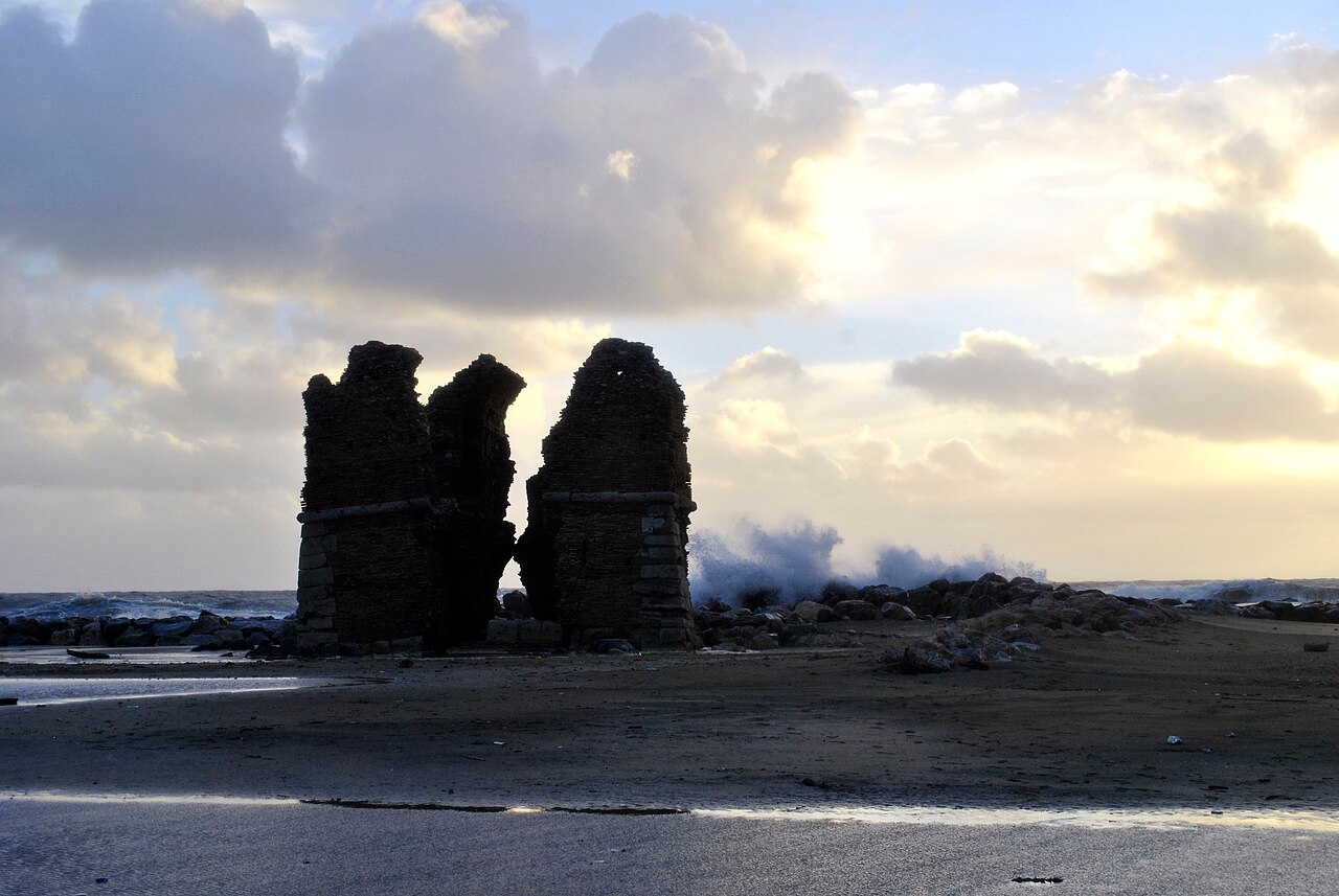
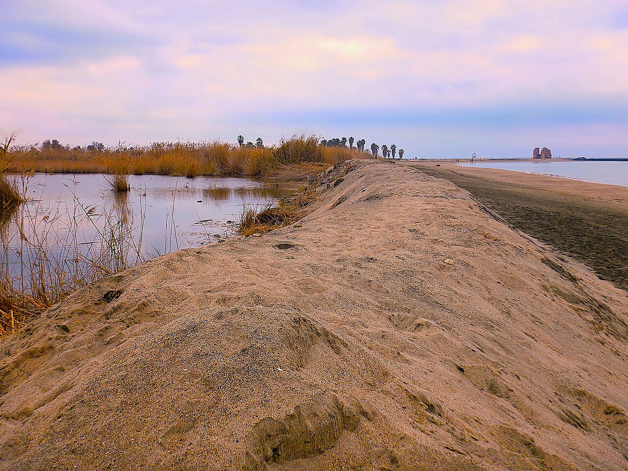
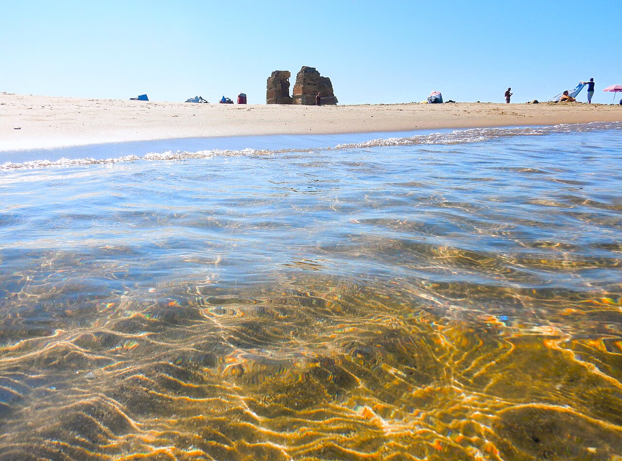
Maps and photographs show the progressive retreat of the coastline. The monument, originally situated in direct relation to the beach, was reached by the waves and cut off from the shore; subsequent coastal defense works altered the stretch of coastline once again.
Sources agree that the upper section was lost during the war but offer differing accounts of the event. Lacking unequivocal primary military evidence, we attribute the destruction to neither Allied bombing nor German fire.
Editorial choice: do not fill the void with a more evocative version.
Erosion is evident in the changing relationship between the ruin, the protective reefs, and the beach.
PRESERVING WITHOUT ALTERING THE ESSENCE
The Lazio Region has committed €2 million to the enhancement of the environmental site and the restoration of the monumental complex. The project received a favorable outcome in the impact assessment for the Natura 2000 site, and construction work began in April 2026.
Project announcements outline plans for structural consolidation, conservation-focused restoration, and development as a museum site. Until the work is completed and officially approved, the page does not announce new entry procedures.
PLAN YOUR VISIT
The interior of the tower is not open to visitors. The monument can be viewed from the beach and designated paths, while respecting construction site boundaries and natural area conservation measures.
Protected area visitor center: Via Roma 141, Ladispoli.
About 90 minutes, including the nature trail through the marsh.
Do not cross fences, barriers, or areas cordoned off by the construction site.

TWO PAGES, ONE LANDSCAPE
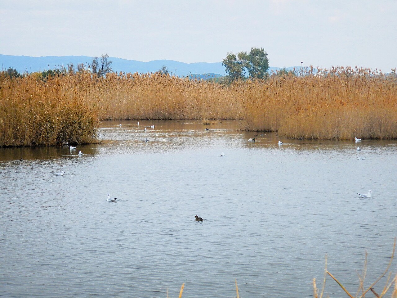
The Torre Flavia Marsh Natural Monument will have its own dedicated page covering: habitats, birdlife, dunes, access points, educational activities, and protected area regulations.
Get to know the landscape in the meantimePerspectives on the monument
Actual photographs with verified authorship and licensing. These may be progressively replaced by the original photographic archive of Ladispoli.it.


SOURCES AND DOCUMENTS
The sources are listed at the bottom of the page; they do not interrupt the narrative but allow for the verification of every key point.
A local survey useful for tracing documents and bibliography. Dates and attributions are cross-checked here against institutional catalogs and published transcripts.
Open the resource REGIONAL ACTFSC commitment of 2,000,000 euros for environmental enhancement and restoration of the monumental complex.
Open the resource ENVIRONMENTAL ASSESSMENTOfficial project record for the Natura 2000 site, with an opinion issued on December 12, 2025.
Open the resource INSTITUTIONAL RECORDContextualization of the tower within the coastal defense system and the archaeological landscape of the marshland.
Open the resource ACCESSName, location, and access: the monument is visible only from the outside.
Open the resource BIOGRAPHICAL CHECKThe biography allows for the verification of the Curia official's timeline and his 1565 appointment as cardinal, avoiding an incorrect dating of the title.
Open the resource 3D scientific surveyPhotogrammetric survey based on over a thousand shots and geometric reconstruction of fragments. Useful for the ruin's shape; does not, on its own, prove the nature of the original interiors.
Open the resource MiC PHOTOGRAPHIC ARCHIVEHistorical views of the coastline and Torre Flavia held by the ICCD. These are visual sources for reference, not images to be copied without verifying usage rights.
Open the resource LOCAL RECORD CONSULTEDUseful as an index of themes and bibliography, but not treated as independent evidence; key points are traced back to cited archives, catalogs, and studies.
Open the resourceGallery · masonry: Ladispoli, Torre Flavia, 02 — Sailko, CC BY 3.0.
Architecture and gallery · detail: Ladispoli, Torre Flavia, 04 — Sailko, CC BY 3.0.
Covering, war, erosion, and tunnel: Storm surge at Torre Flavia — Petrus69, CC BY-SA 4.0.
Gallery · coastline: Shoreline at Torre Flavia — Albarubescens, CC BY-SA 4.0.
Connection to the marsh and tunnel: The marsh and the sea — Albarubescens, CC BY-SA 4.0.
Gallery · protected landscape: Torre Flavia Marsh Natural Monument — Albarubescens, CC BY-SA 4.0.
Landscape and coastal retreat: Winter morning at Torre Flavia — Albarubescens, CC BY-SA 4.0.
The 1280px web versions distributed via Wikimedia Commons are used here. In some instances, the framing is adjusted to fit the display area using CSS cropping; no photographic elements have been added or removed. The individual images remain available under their respective licenses.

Last editorial review: August 8, 2026 · Site and access information is subject to updates.