Italian works, not German
The coastal positions were part of the Royal Army’s defensive network; attributing them all to a specific unit would be inaccurate.

Second World War · Places and memory
THE SITE AT A GLANCE
Between 1940 and 1944, the area saw coastal preparations against a potential landing, German occupation following the armistice, the displacement of families, and destruction during the retreat. The traces do not form a single battlefield; they are distinct locations with different documentation and associated responsibilities.
The concrete emplacements noted between Marina di San Nicola and Palo were part of the Italian coastal defense system constructed between 1941 and 1942. We are not publishing coordinates or routes to reach them. Documentary evidence places a clash at Ponte di Statua on September 9, 1943; in 1944, the Roman bridge was blown up by retreating German troops, while the two medieval towers of the *castrum* vanished that same year, though responsibility for their disappearance has not been conclusively proven.
Torre Flavia lost its upper floors during the war and already appeared truncated in a photograph from September 1944. Sources disagree on who struck the blow; this page does not endorse a specific version in the absence of an operational report. In the post-war period, commemorative plaques and a War Memorial transformed military events and losses into civic memory.
Six documents, no fake archive
Actual photographs, historical documents, and contextual comparisons tell the story without turning a scenographic reconstruction into evidence. Images of the bunkers are not included until an open license and a secure publication method are available.
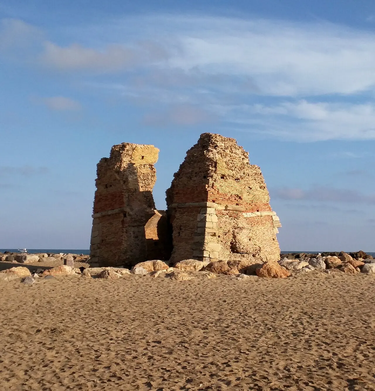
The photograph documents the tower’s current condition. The damage had already occurred by September 1944; the image does not prove who caused it or on which day it happened.
Sailko / Wikimedia Commons · CC BY 3.0 · WebP conversion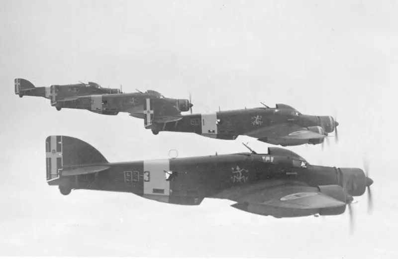
Valerio Scarabellotto died on July 9, 1940, during a reconnaissance flight over Malta. This photograph shows an S.M.79 of the 30th Wing, but it does not identify the specific aircraft used for his mission.
Andrea Nicola / Wikimedia Commons · CC BY-SA 3.0 · WebP conversion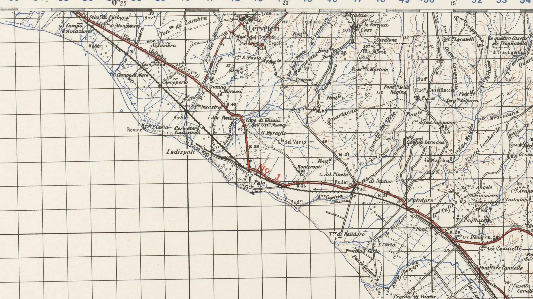
The map connects the locations mentioned on the page without pinpointing military positions or sensitive remains. It is a topographical document, not an operational map.
U.S. Army Map Service · Perry-Castañeda Library / Wikimedia Commons · public domain · cropped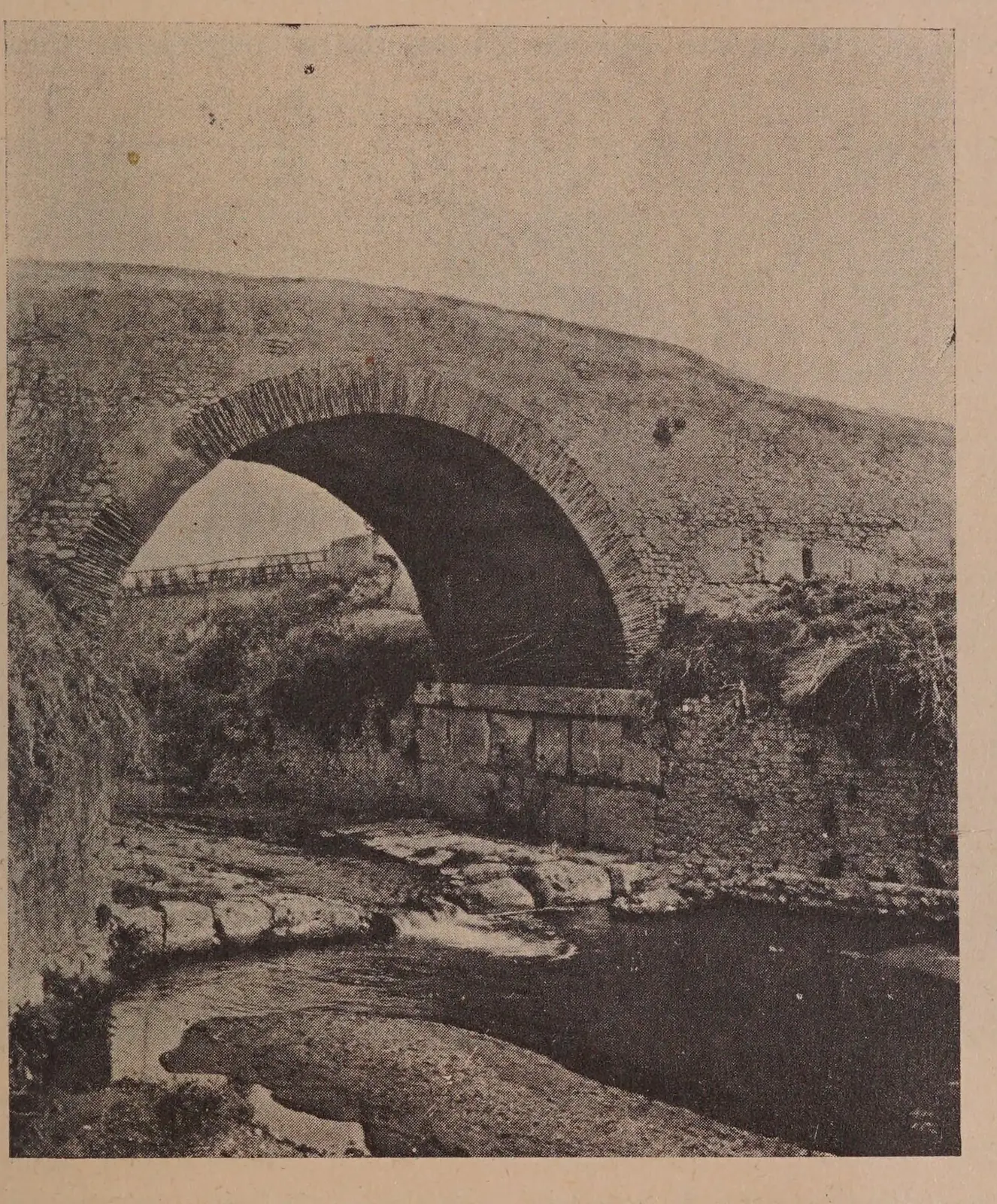
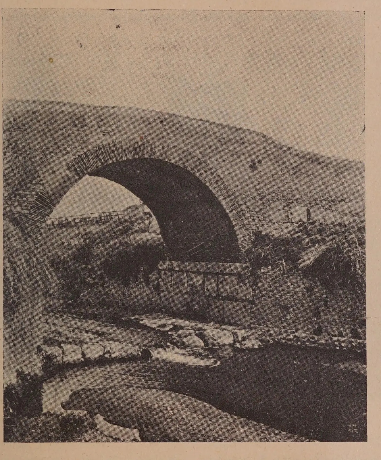
Tomassetti’s photograph shows the crossing still standing. In 1944, retreating German troops mined and blew it up.
Giuseppe and Francesco Tomassetti · Getty Research Institute / Internet Archive · public domain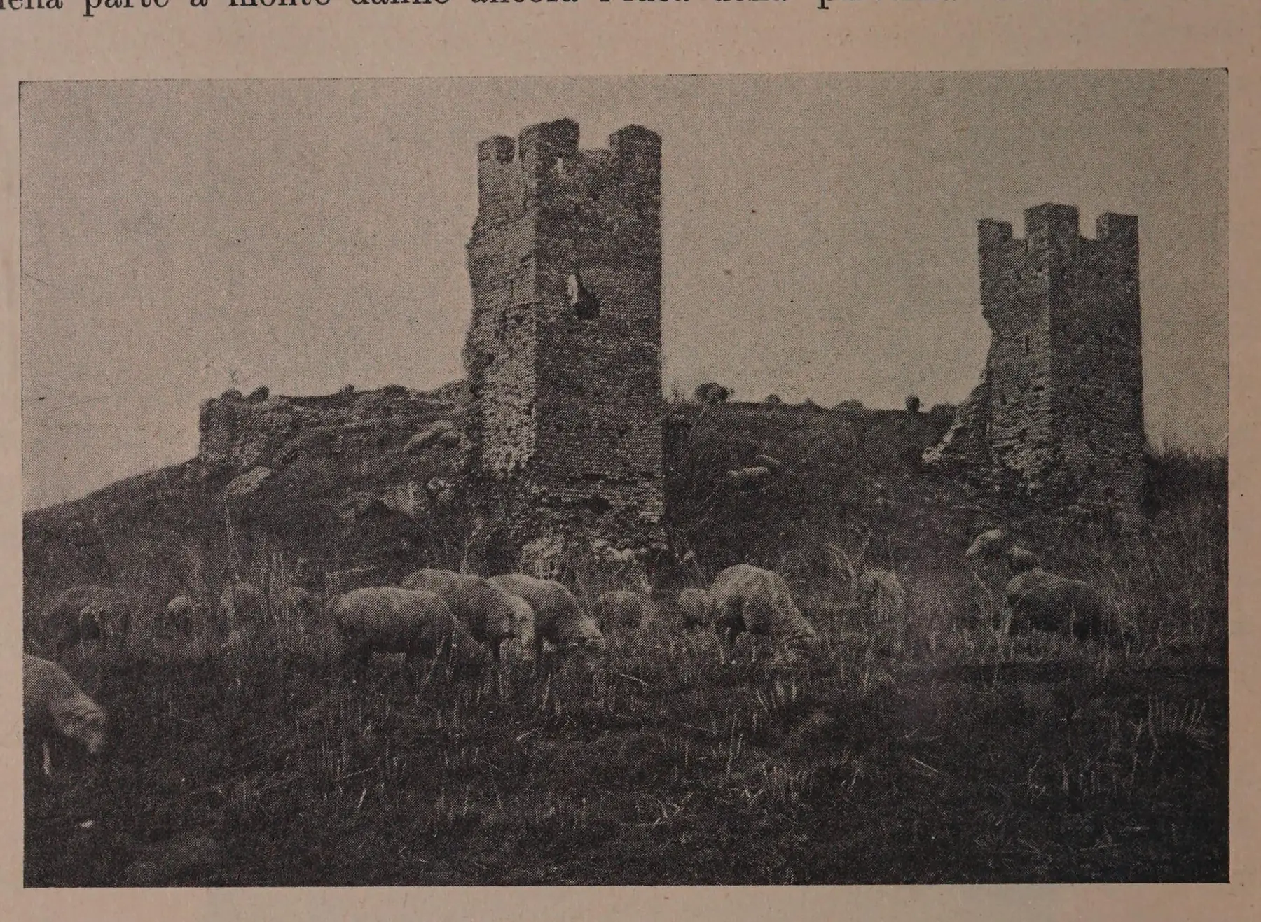
The two towers were still discernible in the early 20th century. Their destruction is dated to 1944, but we do not attribute it to a specific party without equally solid evidence.
Giuseppe and Francesco Tomassetti · Getty Research Institute / Internet Archive · public domain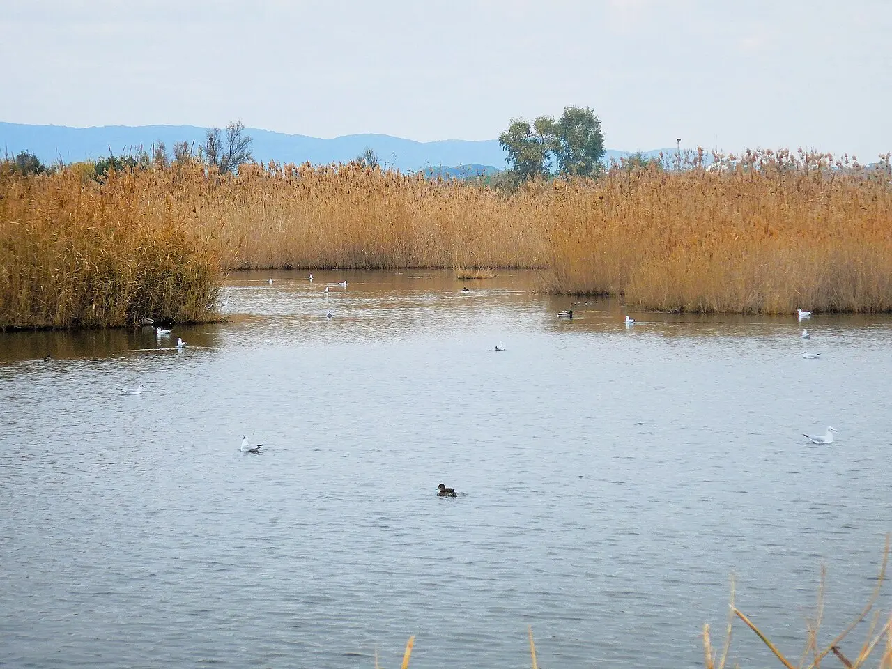
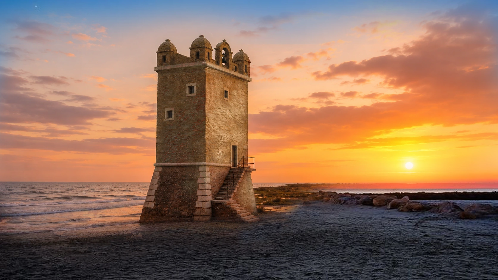
The contemporary marshland and coastline help reveal the fragility of the area. The photograph shows no military operations, nor does it allow for the location of military positions.
Albarubescens / Wikimedia Commons · CC BY-SA 4.0 · WebP conversionSIX LOCATIONS, SIX DIFFERENT STORIES
The page does not propose a military itinerary; it merely indicates how to interpret public sites, ruins, and historical markers without crossing fences or seeking out sensitive structures.
Concrete structures dating back to the anti-landing defenses of 1941–1942. The number, functions, and associated units vary among the different remains.
No coordinates · do not enter or climbResearch indicates that a battle took place here on September 9, 1943; the historic bridge was destroyed during the German retreat in 1944.
Active road and watercourse · official visits onlyThe upper floors were certainly lost by September 1944. German shelling and Allied bombing remain competing explanations.
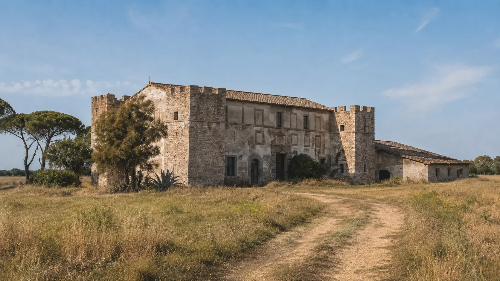
Exterior view · respect barriers and rough seasLocal studies and research document the complex's use by Ladispoli families and as a storage depot during the war.
Exterior · entry only during municipal opening timesThe commemoration of the pilot-captain originated during the conflict and retains the celebratory language of the Fascist era.
Public square · standard accessFour reinforced-concrete arches bear the names of the victims, transforming mourning into a collective civic memory.
External monument · standard accessESSENTIAL STEPS
Confirmed dates, archaeological phases, and traditions are presented for what they truly represent.
The pilot captain, born in Rome, fell during a reconnaissance mission over Malta and was posthumously awarded the Gold Medal of Military Valor.
scheda ufficiale del QuirinaleThe Municipality of Civitavecchia—of which Ladispoli was formerly a hamlet—passed a resolution regarding the naming; it would still be useful to obtain the original resolution.
censimento memorialeThe inauguration takes place on the first anniversary of the death. The inscription also serves as a record of Fascist commemorative culture.
data ben attestataItalian defensive positions prepared San Nicola and Palo against a possible landing; they do not all share the same date or function.
intervallo prudenteThe Royal Army General Staff formalizes the coastal defense layout via Circular No. 8500.
documento militareAccording to Pier Luigi Guiducci’s reconstruction, an Italian checkpoint and passing troops engaged a German column; the figures regarding the fallen and prisoners remain attributed to that study.
ricostruzione documentaria secondariaThe precise date and responsibility remain unresolved: sources point alternately to German fire or Allied bombing.
danno certo · attribuzione apertaRetreating German troops destroy the historic crossing that had remained in use until the war.
studio scientificoThe archaeological guide dates the loss of the two medieval towers but does not allow for the same definitive attribution regarding the bridge.
evento documentato · autore apertoA photograph by Giorgio Massaruti documents Torre Flavia, which suffered severe damage this month.
prova fotografica non riprodottaIts location was recorded in 1953, and it was inaugurated in 1954 based on a design by Luciano Rossi.
censimento memorialeA plaque commemorating the fallen of Nassiriya is added to the monument's base.
intervento documentatoWHAT TO OBSERVE
The coastal positions were part of the Royal Army’s defensive network; attributing them all to a specific unit would be inaccurate.
September 9, 1943, illustrates the chaos and local resistance that marked the hours following the shift in the war front.
The medieval monument once again becomes a place of daily survival for families forced to leave their homes.
Three separate instances of destruction should not be conflated into a single narrative or attributed to the same perpetrator without evidence.
Piazza Scarabellotto preserves a commemorative marker dating back to 1941, to be interpreted within the political and military language of that era.
In 1954, remembrance became a civic and collective act, uniting the names of the victims from both world wars.
BEFORE GOING
Piazza Scarabellotto and the War Memorial are public spaces. Torre Flavia, the Statue, Castellaccio, and the coastal emplacements, however, require caution, respect for boundaries, and—where applicable—authorized visits.
Do not enter the defensive positions, climb on the structures, or remove materials, and do not use this page to locate military facilities. At "Statua," avoid the road, the riverbed, and the embankments. At Torre Flavia, do not climb on the riprap or masonry, and respect barriers, construction work, and sea conditions.The Scarabellotto plaque and the War Memorial can be viewed in the public space without following a specific itinerary.
The Tower, Castellaccio, and the remains at Statua do not grant independent access to the structures, construction sites, or properties.
The areas are indicated in general terms; coordinates, geotags, and approach routes are intentionally omitted.
CONSULTABLE SOURCES
This first edition organizes the most solid information. Individual pages may be expanded with documents, surveys, and archival photographs.
Study of coastal fortifications, useful for establishing chronology, typology, and territorial context.
Open the source MILITARY DOCUMENTSource regarding the organization of maritime borders and the construction of coastal defenses.
Open the source Coastal sectorContextualization of the 220th Coastal Division within the sector between Nettuno and Furbara, without attributing every structure to a specific unit.
Open the source 9 SEPTEMBER 1943Reconstruction of the clash at Ponte di Statua, based in part on Carabinieri records; the figures and sequence of events are attributed to the author.
Open the source STATUA BRIDGEScientific study documenting the bridge's demolition during the German retreat and its surviving remains.
Open the source CITY HERITAGESource regarding the destruction of the towers at Castrum Statua and Castellaccio, and the local context of Torre Flavia.
Open the source TORRE FLAVIAInstitutional record documenting the wartime bombing without assigning specific responsibility.
Open the source Evacuation / DisplacementUniversity study documenting the use of the Castellaccio by displaced families and as a storage depot during the war.
Open the source OFFICIAL BIOGRAPHYRecord regarding the Gold Medal of Military Valor and the key circumstances of the death on July 9, 1940.
Open the source PLAQUECensus of naming, inauguration, inscription, and placement in public space.
Open the source MONUMENTComprehensive record covering the design, inauguration date, names, materials, and the addition of the 2004 plaque.
Open the source DISCOVER THE SECTOROpen the complete catalog of monuments, archaeological sites, and historical landscapes.
Open the sectorCONTINUE THE ROUTE