A planned foundation
Modern Ladispoli did not grow by chance; it originated from a land development scheme that combined land ownership, urban planning, and railway access.

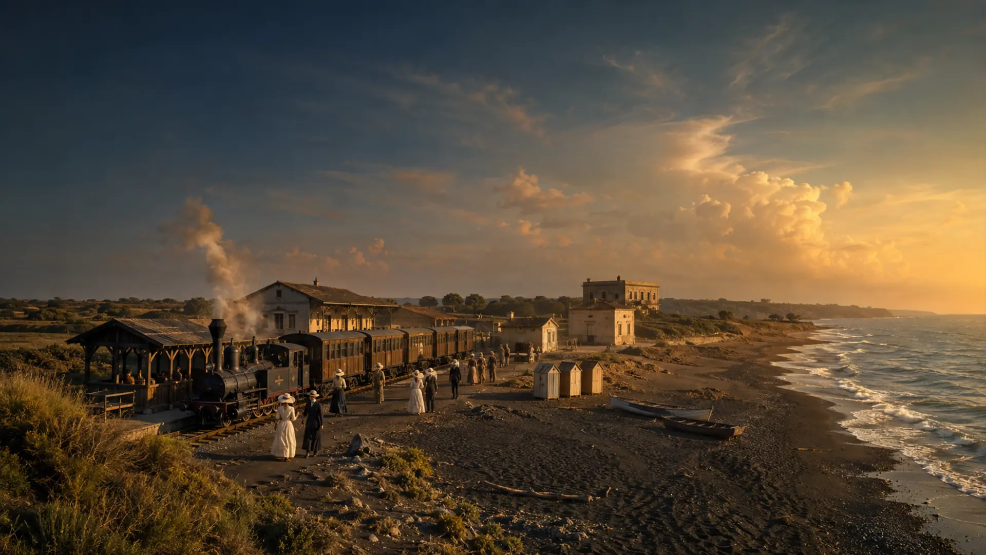
Historic center · Foundation, railway, and sea
THE SITE AT A GLANCE
On May 30, 1888, Ladislao Odescalchi and engineer Vittorio Cantoni signed the agreement that launched the new seaside resort. The Palo–Ladispoli branch line—spanning 2.305 kilometers from the Tyrrhenian line to the terminus near the beach, in the area of today’s Piazza Roberto Rossellini—entered service on July 1st.
A large wooden café-restaurant, hotels, guesthouses, villas, and facilities for beachgoers sprang up around the railway tracks. The "Palazzaccio" and the original terminus have disappeared; the café, too, lasted only a few years. What remains, however, is the town center's layout, several early 20th-century buildings, the church of Santa Maria del Rosario, the school (now named after Candida Zarelli), and the direct connection between the town and the sea.
The old branch line was closed in 1938. In 1939, the new stop on the Rome–Pisa line shifted the urban center of gravity. ISTAT historical data—reconstructed based on 2019 territorial boundaries—shows a rise from 2,296 residents in 1951 to 7,252 in 1971; the initial figure refers to the area of the current municipality, which was not yet autonomous at the time. Finally, Law no. 240 of May 6, 1970, established Ladispoli as a municipality.
Six documents, beyond the opening scene
The gallery makes no claim to possess photographs we do not have. It juxtaposes two nineteenth-century portraits of the founder, a railway document, a map, and two actual photographs of modern-day Ladispoli.

Twelve years before the subdivision of the land, Julius von Blaas depicted the young prince on horseback. The name of the new town explicitly links the project to the figure of Ladislao Odescalchi.
Julius von Blaas · Wikimedia Commons · public domain · WebP conversion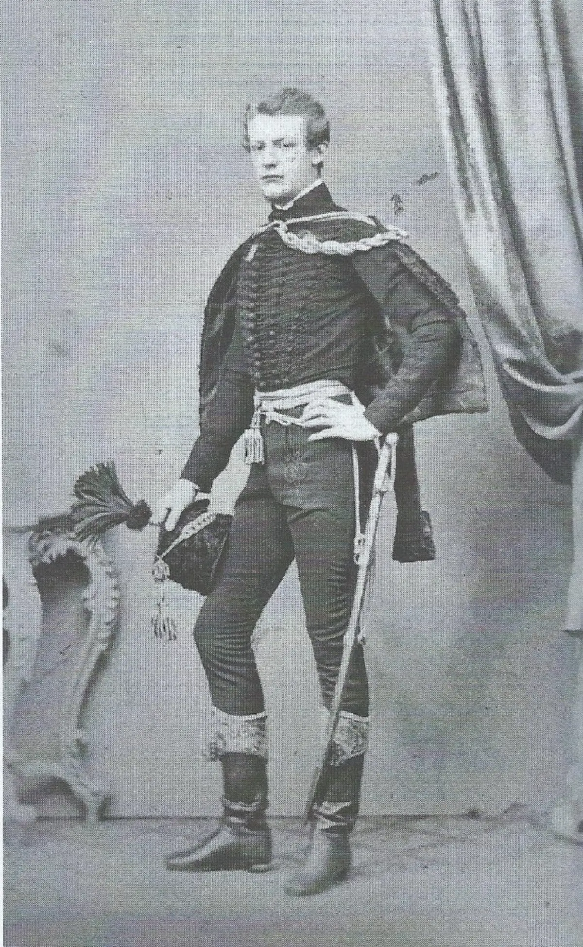
This costumed photograph documents Ladislao Odescalchi twenty-two years before the town's founding. It does not show the city itself, but rather the central figure behind the urban project.
Unidentified author · Wikimedia Commons · public domain · WebP conversion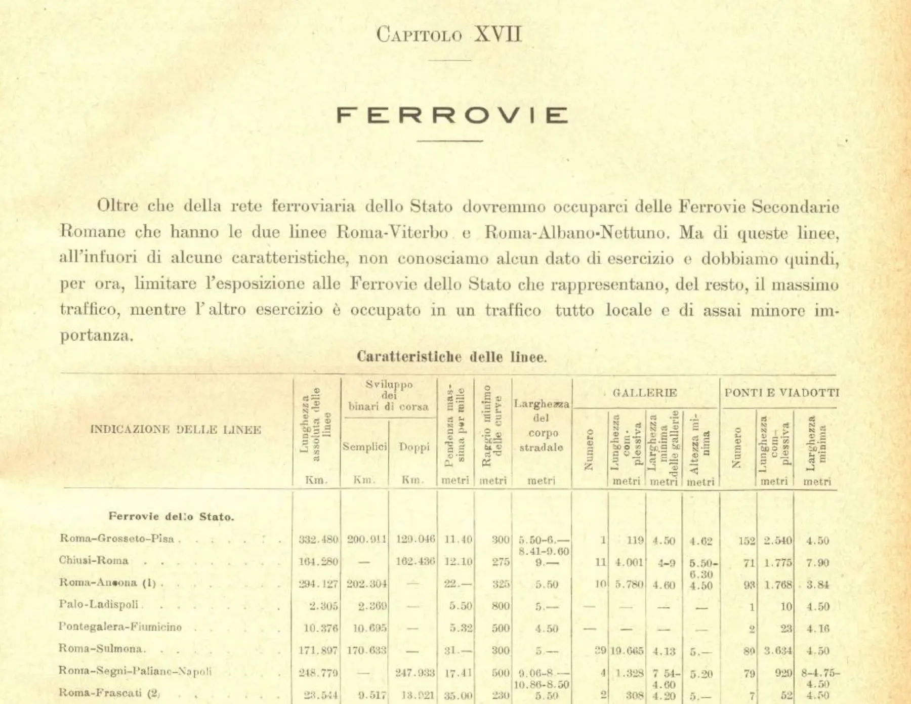
The Statistical Yearbook of Rome records the Palo–Ladispoli site and its dimensions. It provides the clearest quantitative evidence of the small-scale infrastructure from which the seaside resort originated.
Municipality of Rome, Statistical Yearbook 1913, Part IV, p. 26 · public domain · clipping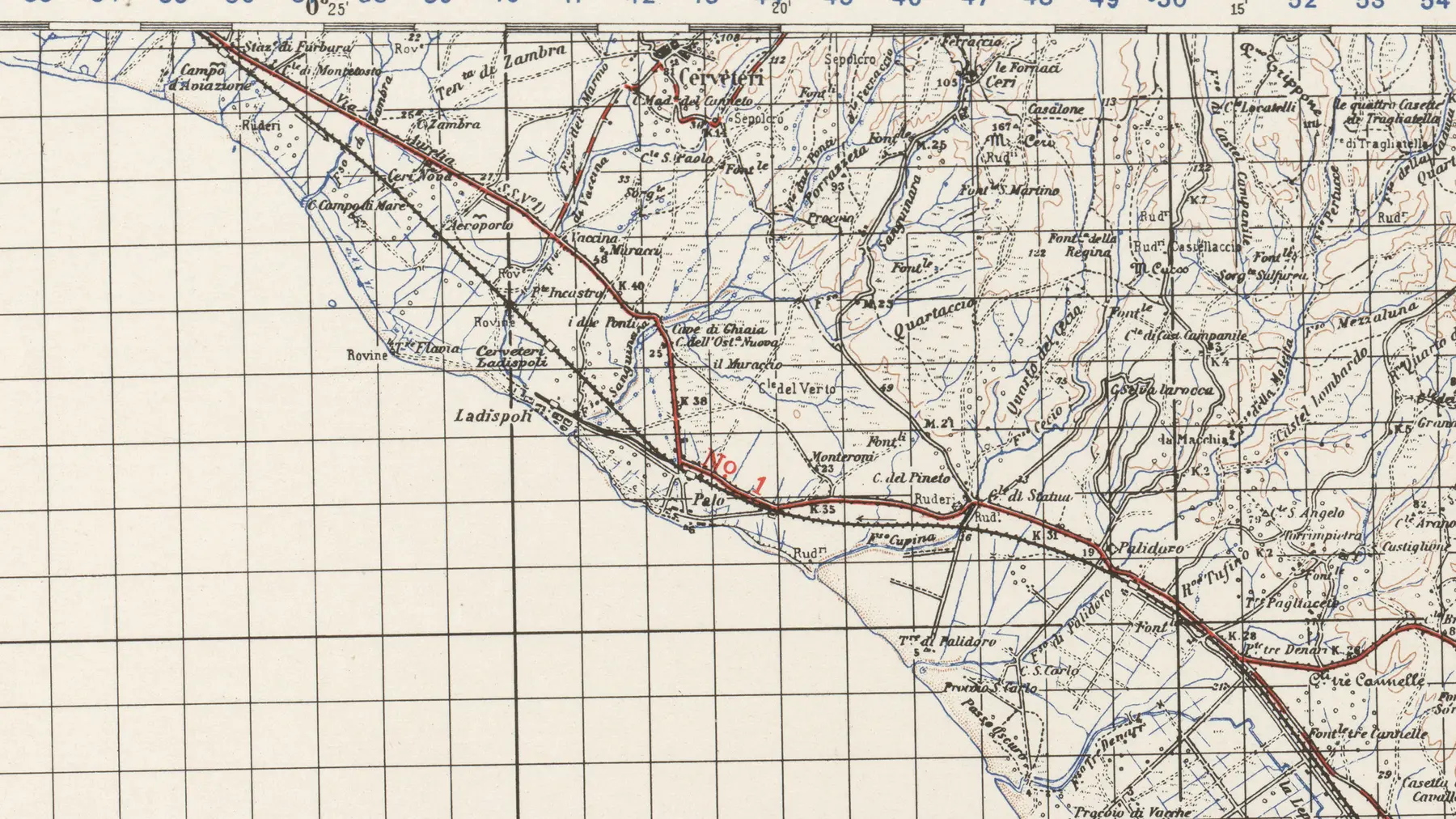
The map shows a recognizable Ladispoli, the coastline, Palo, and the railway. It dates to after the closure of the old branch line and should not be interpreted as an 1888 map.
U.S. Army Map Service · Perry-Castañeda Library / Wikimedia Commons · public domain · cropped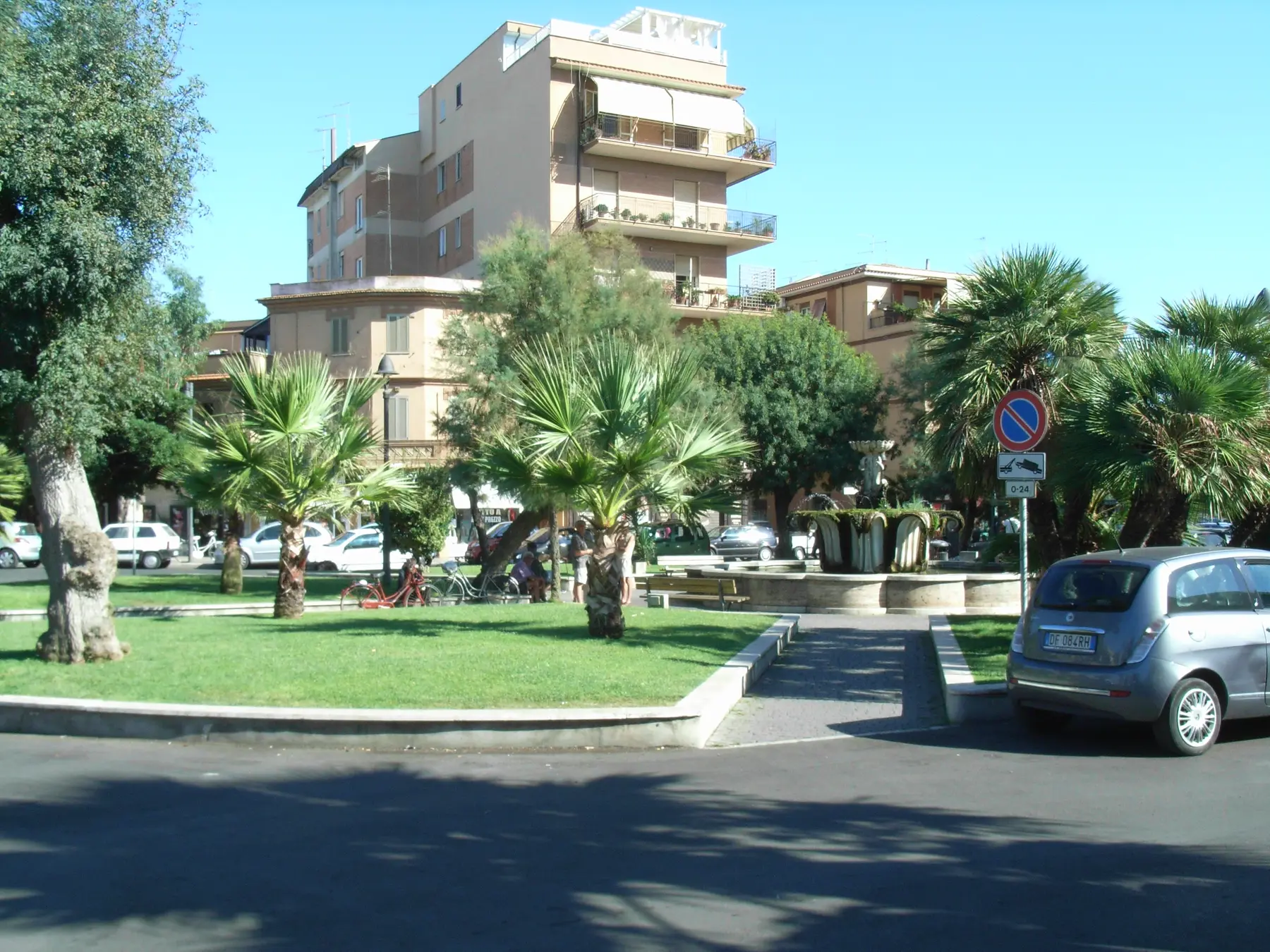
The marble capital prepared in 1939 for Termini Station was transformed into a fountain in Ladispoli in 1957–1958. The photograph documents the square as it appears today, not its original layout.
Notafly / Wikimedia Commons · CC BY-SA 3.0 · resizing and WebP conversion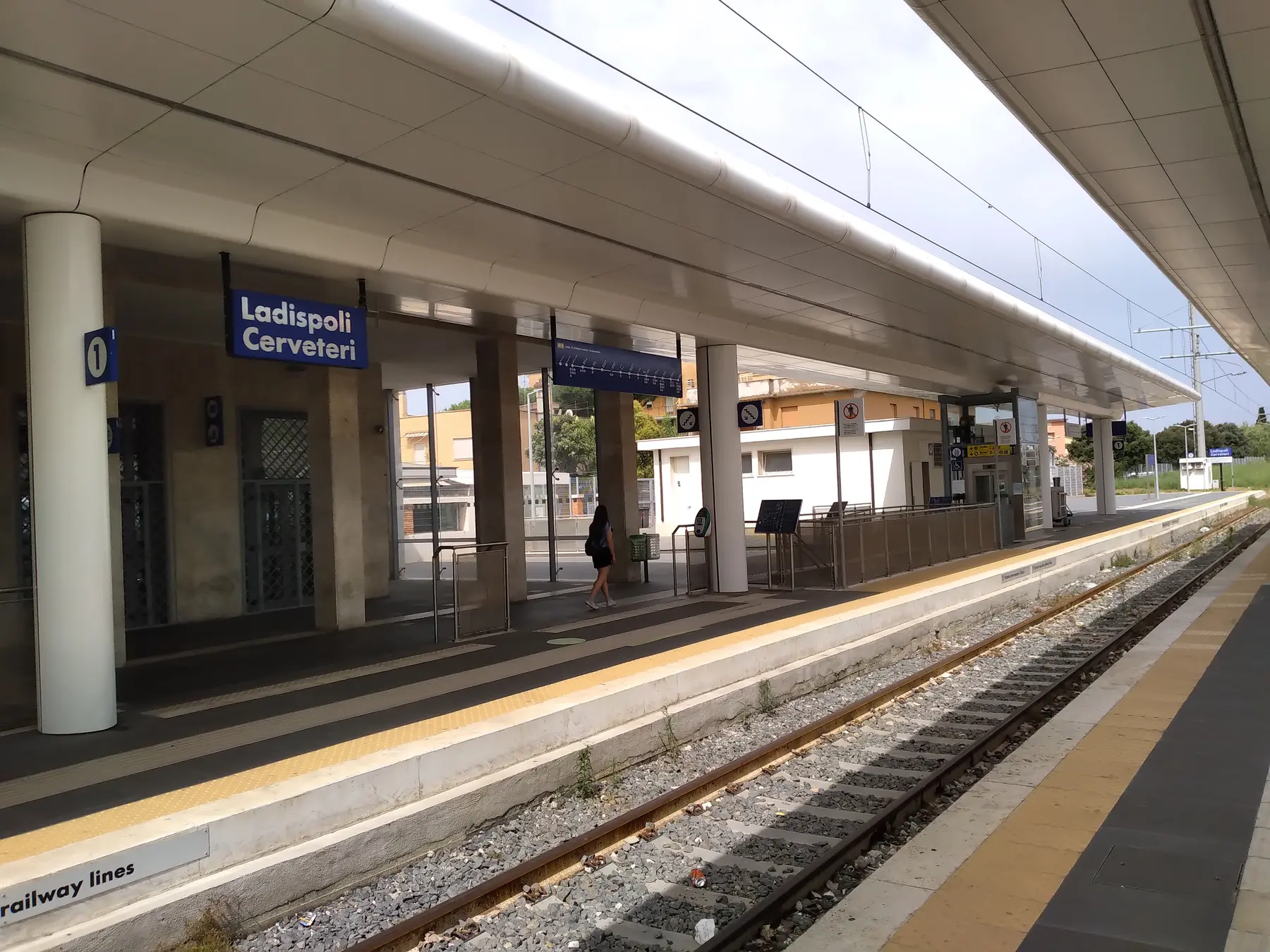
The stop on the Tyrrhenian line opened in 1939. The image shows the facility as it appears today following numerous alterations, rather than its original architectural form at the time of inauguration.
CAPTAIN RAJU / Wikimedia Commons · CC BY-SA 4.0 · resized and converted to WebPA SIX-STAGE ITINERARY
The route distinguishes between buildings that are still recognizable and sites of historical memory. Not all stops are monuments open to visitors, and no private attribution is certain without archival confirmation.
The seaside railway spur ended here. The tracks, station, and large wooden café no longer exist; the square is now a place of urban memory.
Public space · no railway remains on displayHotel Miramare, Palazzo Cantoni, and a few small villas tell the story of the holiday lifestyle between the 19th and 20th centuries, though transformations and attributions require a building-by-building analysis.
Visible exteriors · private propertyThe foundation stone was blessed in 1912. The church and parish house accompanied the consolidation of the new settlement.
Place of worship · please respect services and schedulesInaugurated on October 18, 1925, it was the city's first school and remains an active educational institution.
School building in use; do not enter without authorization.Since 1939, it has replaced the old seasonal terminus and connected post-war urban growth to the Tyrrhenian line.
Active station · access subject to railway regulationsAn element prepared for Rome Termini station in 1939 became a civic landmark for Ladispoli in 1957–1958; today, it stands in the square's garden.
Public space · free viewingThe contemporary memorial belongs to the same civic complex as the Piacentini Fountain and is cataloged as a distinct element, yet remains connected to its context.
Public space · free viewingESSENTIAL STEPS
Confirmed dates, archaeological phases, and traditions are presented for what they truly represent.
Ladislao Odescalchi and Vittorio Cantoni initiate the subdivision of land for the new seaside railway resort.
data fortemente documentataThe Palo–Ladispoli branch line opens; it is 2.305 km long and intended primarily for beach-bound traffic.
dato ferroviario ufficialeA large wooden pavilion welcomed the first holidaymakers. Accounts regarding its commissioning and demolition vary.
edificio attestato · dettagli apertiGuesthouses, hotels, and small villas make up the initial urban fabric; identifying specific buildings requires consulting land registries and building records.
quadro urbano certoThe blessing of the foundation stone links religious and community growth to the consolidation of the new city.
fonte ecclesiasticaThe building now named after Candida Zarelli marks the transition from seasonal vacationing to a permanent community.
centenario istituzionaleRoyal Decree no. 1251 of June 16, 1938, ordered the closure of the short branch line that extended toward the sea; the operational date of September 26 comes from subsequent specialized railway research.
decreto ufficiale · giorno operativo da studioThe stop on the Tyrrhenian line—destined to become the main urban access hub—enters service.
cronologia ferroviariaOccupation, aerial bombardment, and destruction affected the area. The military history is reconstructed on a dedicated page, avoiding the compression of distinct events into a single date.
quadro documentatoPresidential Decree (DPR) No. 361 mandates the administrative separation of the hamlet from Civitavecchia and its incorporation into Cerveteri.
atto ufficialeThe ISTAT series, reconstructed based on 2019 municipal boundaries, shows an increase from 2,296 to 7,252 residents. In 1951, Ladispoli was not yet an autonomous municipality; the initial figure therefore refers to the territory—adjusted for consistency—rather than the legal population of a municipality existing at that time.
serie ISTAT ai confini 2019Law No. 240 separated Ladispoli from Cerveteri and established it as an independent municipality, also incorporating Palo and Cerimarina.
Gazzetta UfficialeWHAT TO OBSERVE
Modern Ladispoli did not grow by chance; it originated from a land development scheme that combined land ownership, urban planning, and railway access.
The small town of Palo–Ladispoli makes seaside day trips from Rome possible and orients the original town center towards the sea.
Bathing establishments, guesthouses, and cafés transform the coastline into a holiday destination, without erasing its agricultural and maritime economy.
The surviving buildings must be interpreted with caution: the fabric is historic, but facades, uses, and attributions have changed many times.
Santa Maria del Rosario and the Zarelli school illustrate the transition from a seasonal resort to a settled community with permanent services.
Population and civic growth led to the separation from Cerveteri in 1970 and the establishment of an autonomous administration.
BEFORE GOING
The route winds through the town center’s squares, streets, and facades. Some sites have vanished, while others are private, school, religious, or railway buildings that remain in use.
View private buildings only from public spaces; do not enter the school; respect religious services; and access the tracks only as a passenger. Piazza Rossellini tells the story of the lost terminus: do not look for tracks or remains inside private properties or construction sites.It is the clearest reference point for evoking the old terminus and the original seaside resort area, even though no structures remain.
Piazza Rossellini, the historic center, Santa Maria del Rosario, Piazza della Vittoria, and the station form a compact itinerary.
The route highlights urban continuities and transformations; it does not present every building as having been preserved exactly as it was in 1888.
CONSULTABLE SOURCES
This first edition organizes the most solid information. Individual pages may be expanded with documents, surveys, and archival photographs.
Summary of the subdivision, initial urban layout, and seaside structures; details regarding the notarial deed require verification and should be treated with caution.
Open the source RAILWAY DOCUMENTOfficial chart showing the Palo–Ladispoli line and its length of 2.305 km, along with operational data regarding beach-bound traffic.
Open the source CENSUSESMethodological source for interpreting the 1951 and 1961 figures as the reconstructed population of the current municipality's territory, rather than the legal population of an entity that did not exist at the time.
Open the source OFFICIAL POPULATIONOfficial record listing 7,252 residents for the Municipality of Ladispoli.
Open the source TERRITORIAL DATAMunicipal profile and long-term data regarding the transition from a seaside settlement to a permanent town.
Open the source CHURCHEcclesiastical record regarding the start of construction in 1912 and the development phases of the parish complex.
Open the source SCHOOLInstitutional source regarding the inauguration on October 18, 1925, and the continued use of the school building.
Open the source CURRENT STATIONOperational record for the station currently active on the Tyrrhenian line.
Open the source RAILWAY CROSSING REMOVALOfficial measure regarding the closure of the Palo–Ladispoli branch line; it does not, by itself, set the date for the final run.
Open the source ADMINISTRATIVE STEPOfficial act merging the hamlet of Ladispoli with Cerveteri following its separation from Civitavecchia.
Open the source MUNICIPAL AUTONOMYOfficial text establishing Ladispoli as an autonomous municipality and defining its new territorial framework.
Open the source CIVIC FOUNTAINMunicipal record regarding the 1939 wayside shrine and its conversion into a fountain in 1957–1958.
Open the sourceCONTINUE THE ROUTE
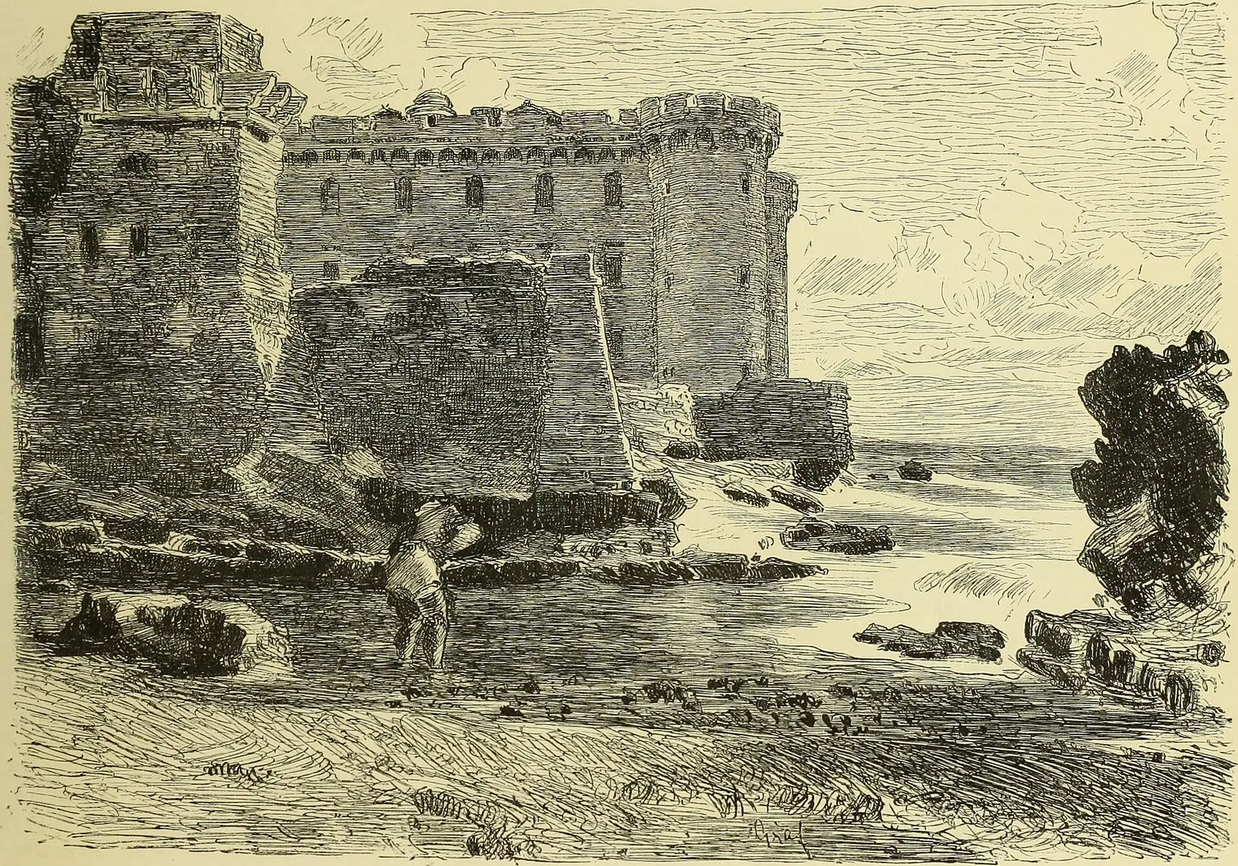 The settlement that predated LadispoliHistoric hamlet of PaloDiscover
 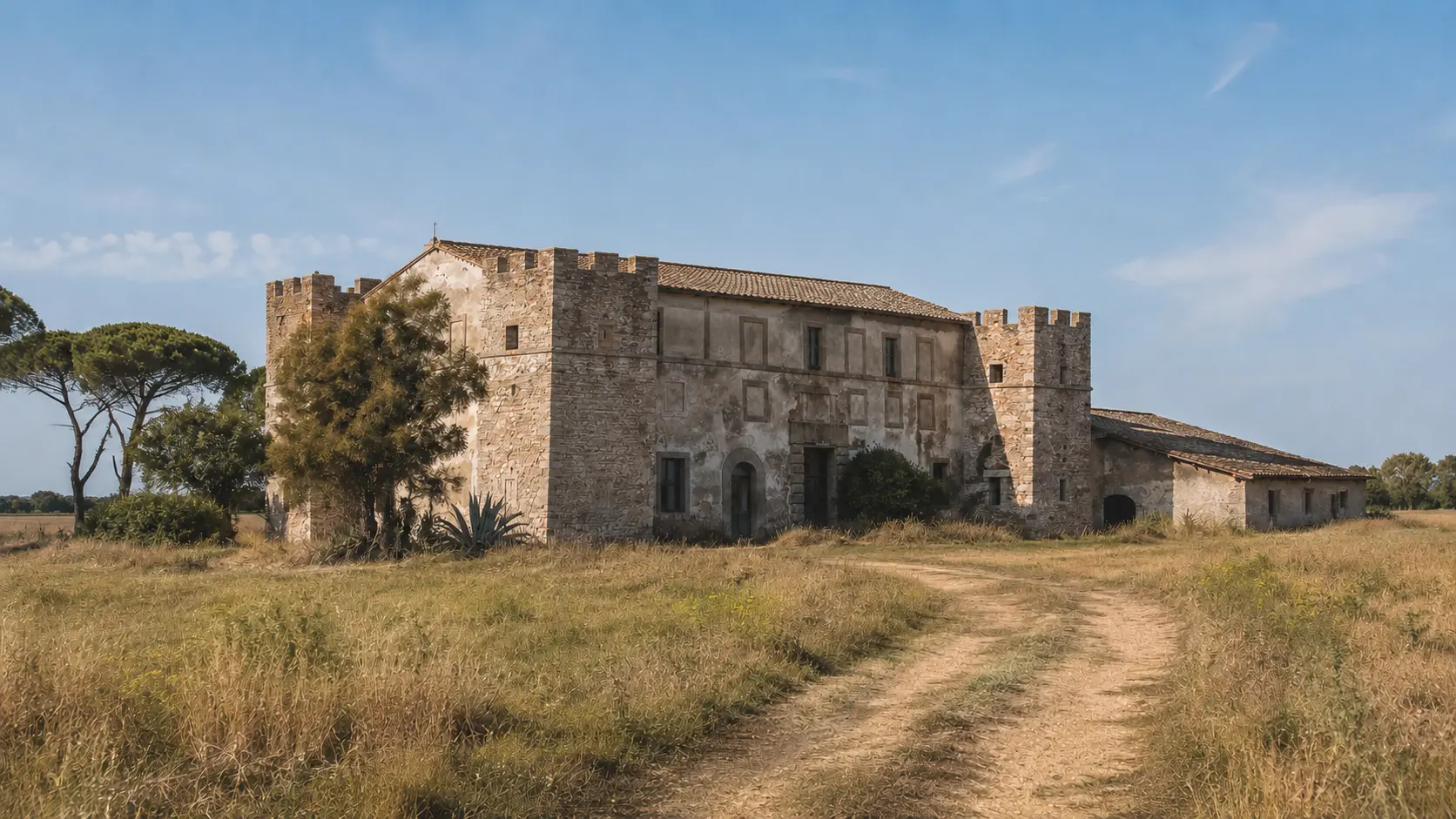 Travelers on the old Via AureliaCastellaccio dei Monteroni in LadispoliDiscover
  War, displacement, and memoryLadispoli during World War II (1940–1944)Discover
  EDITORIAL RECONSTRUCTION · The coastal line junctionPalo StationDiscover