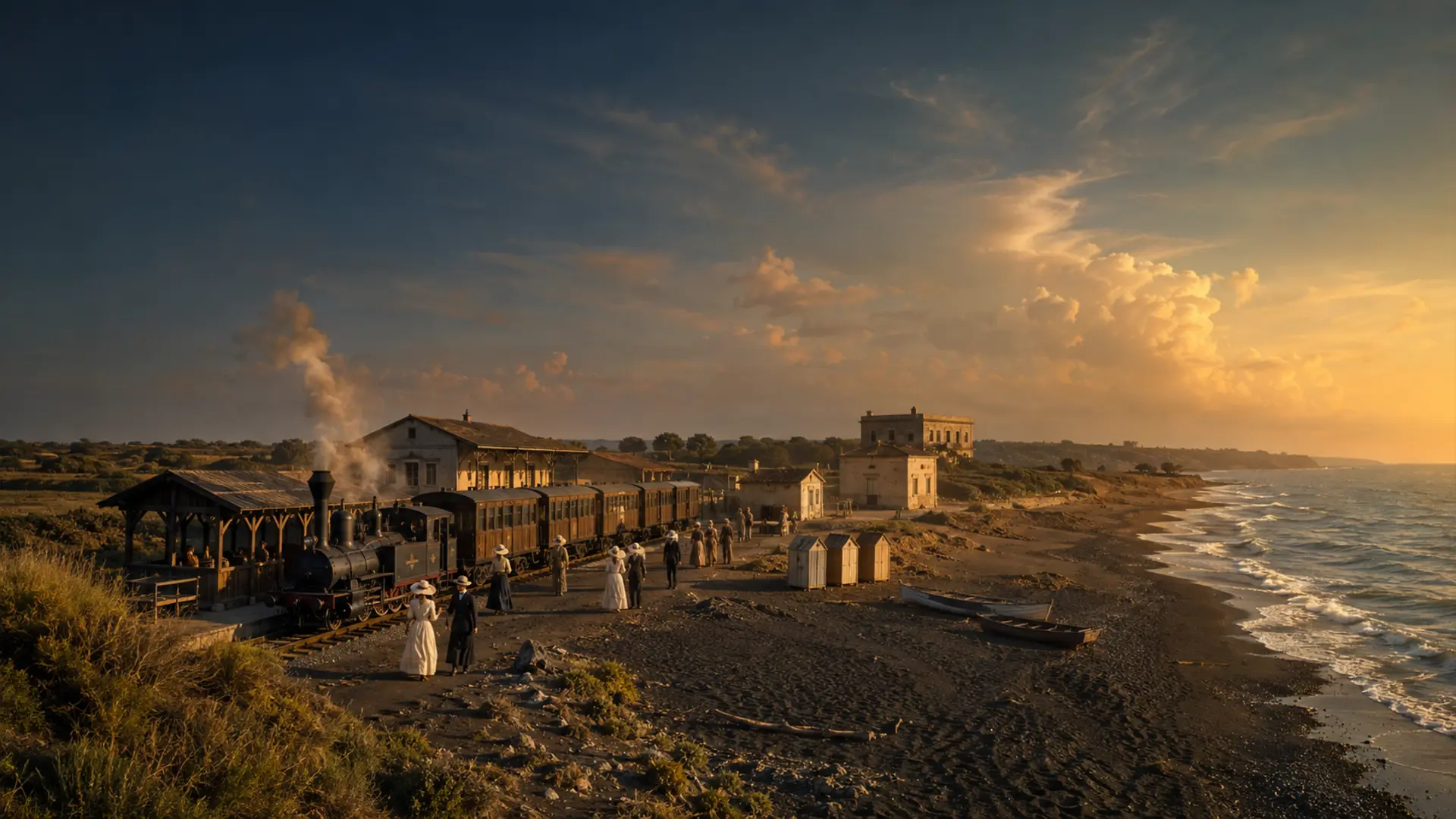
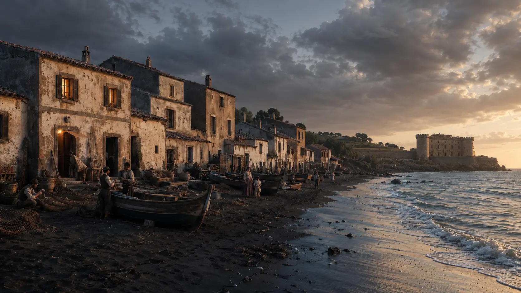
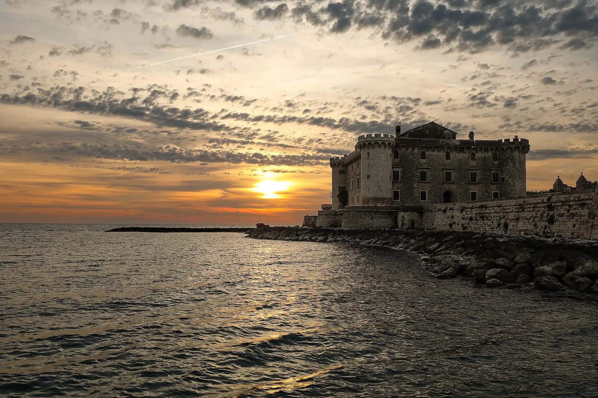
One station before Ladispoli
Palo linked Rome and Civitavecchia, and—from 1888—the new seaside resort on the coast.

Palo Laziale · Railway and industrial archaeology
THE SITE AT A GLANCE
The Rome–Civitavecchia line reached the coast in 1859, and Palo dates back to this early era of railway development. On July 1, 1888, the short Palo–Ladispoli branch line—measuring 2.305 kilometers—entered service; from the junction on the main line, trains traveled to the new seaside terminus near the coast.
1891 is not the year the Palo station was built. Railway records document the double-tracking of the Maccarese–Palo and Palo–Santa Severa sections in June, though the exact date of the surviving station building still requires archival verification. Over time, the complex was expanded and modified to include passing loops, a freight yard, and locomotive servicing facilities.
The branch line was closed in 1938. In 1939, a new stop on the Tyrrhenian line—the current Ladispoli–Cerveteri station—replaced the coastal terminus at a different location. Palo adopted the name Palo Laziale in 1943; while it no longer offers passenger service, the railway line remains active. Surviving structures—including buildings, two elevated water tanks, and a water column—can only be viewed from designated areas.
Documents and comparisons, without fake historical photos
The gallery distinguishes between historical maps, the current station, contemporary railway photography, typological comparisons, and computer-generated views. No image is presented as an archival shot of the Palo station unless it actually is one.
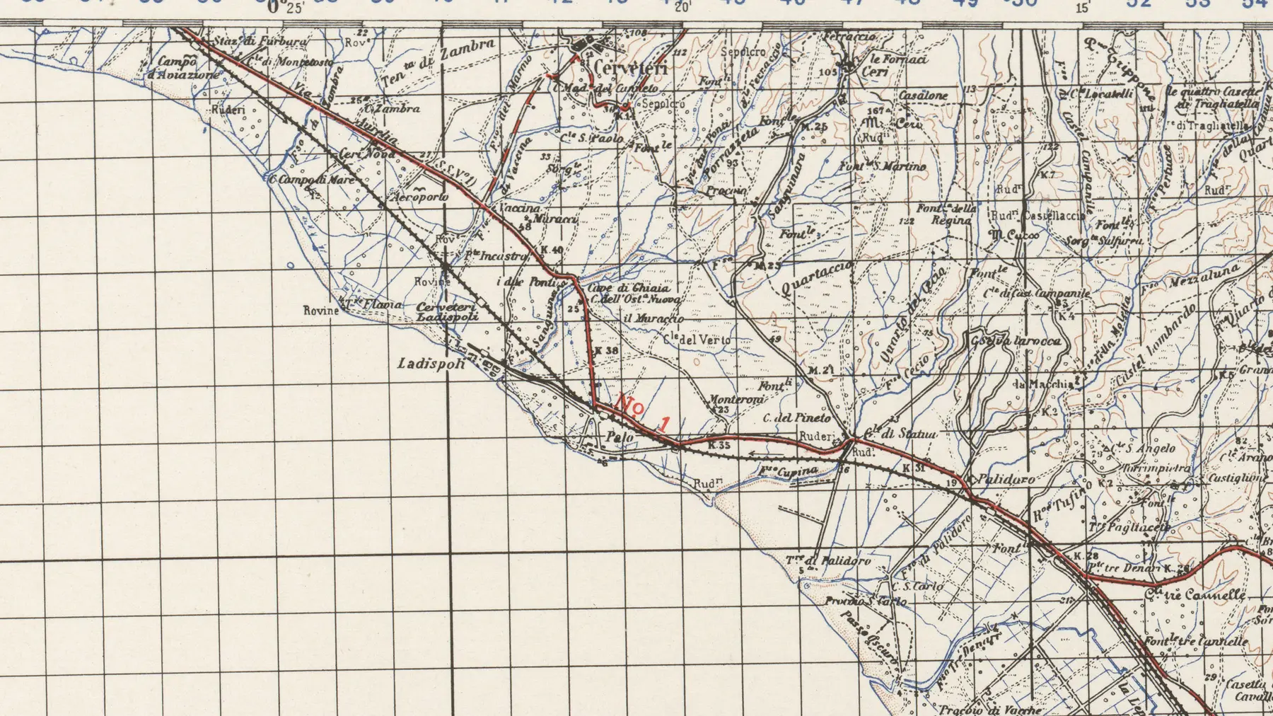
The map shows the spatial relationship between the coast, the city, and the railway a few years after the short line was discontinued. It does not allow for the identification of individual buildings or water infrastructure.
U.S. Army Map Service · Perry-Castañeda Library / Wikimedia Commons · work of the US federal government, public domain in the United States · cropped and converted to WebP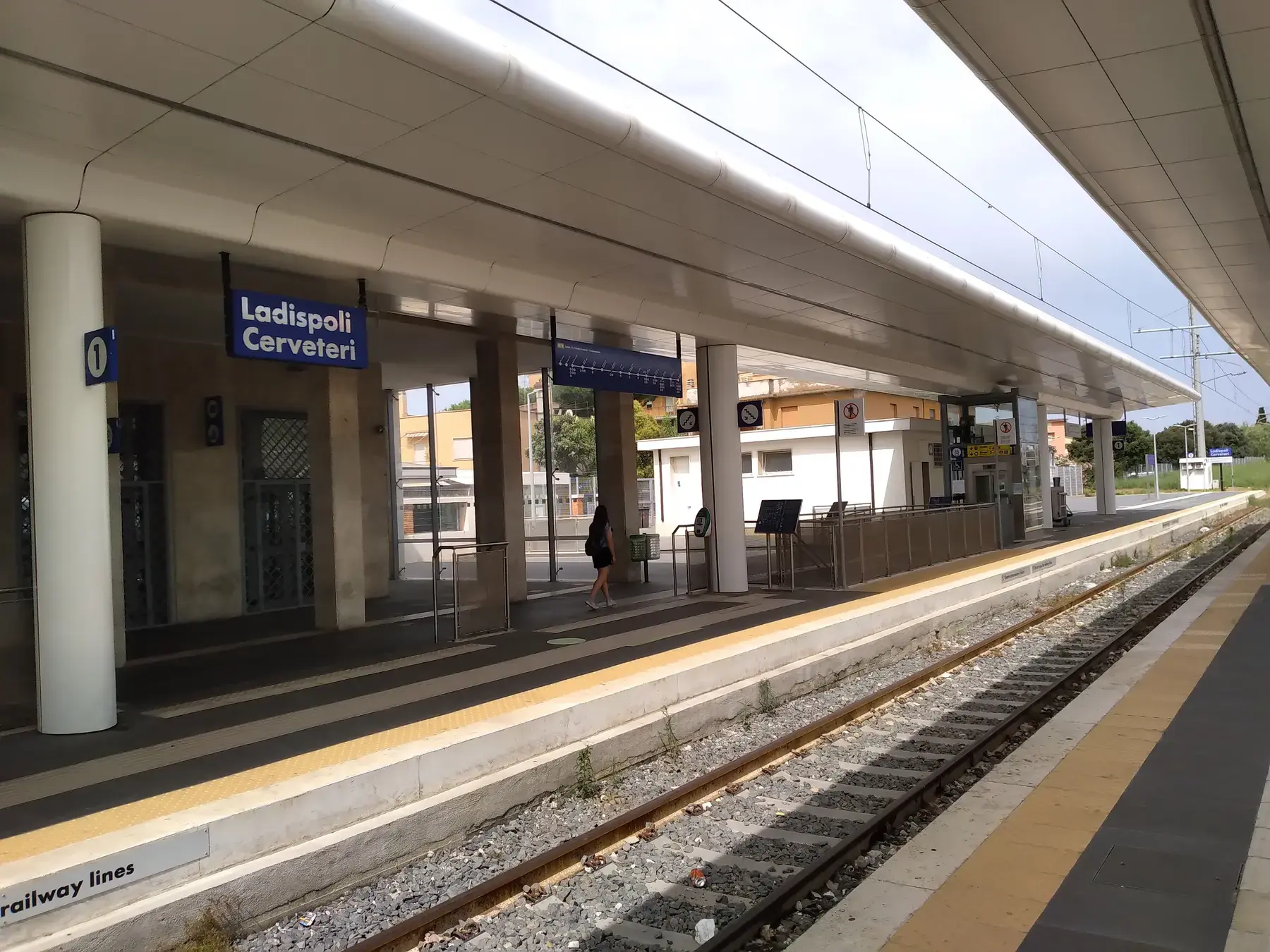
The current station originated from the new facility opened in 1939 on the main line. It does not occupy the site of the 1888 seaside terminus and is not the former Palo station.
CAPTAIN RAJU / Wikimedia Commons · CC BY-SA 4.0 · resized and converted to WebP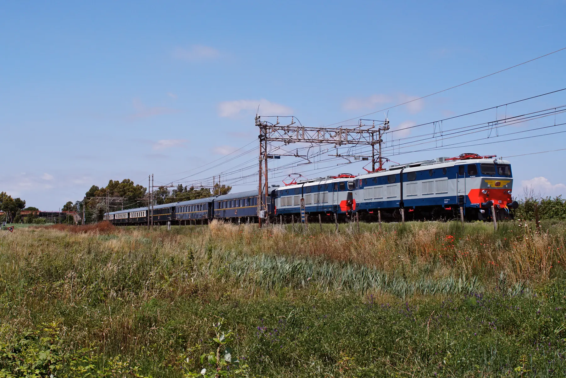
The photograph shows the modern coastline alongside a historic train. The catenary lines, the locomotive, and the setting belong to the present day and do not recreate the 19th-century seaside transport service.
Manny Mannheimer / Wikimedia Commons · CC BY 4.0 · resized and converted to WebP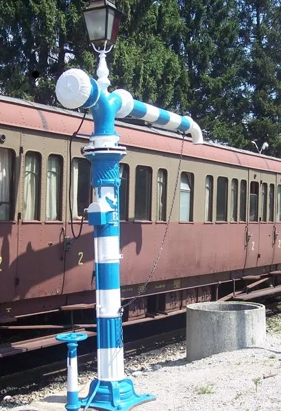
The rotating water column at Feltre illustrates the device's general function. Its colors, shape, and details should not be automatically applied to the structure at Palo.
Baol / Wikimedia Commons · CC BY-SA 3.0 · WebP conversion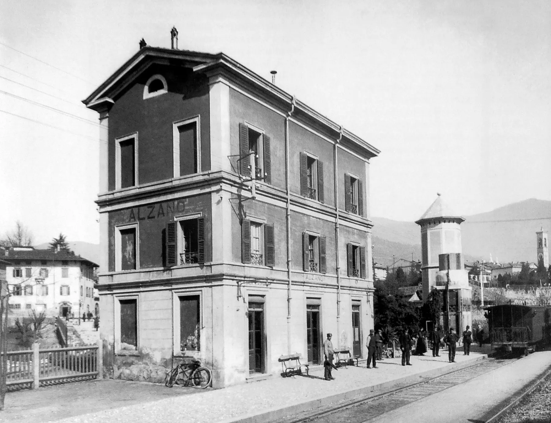
The image of Alzano Maggiore illustrates the relationship between the building and water infrastructure in a different facility. It serves as a comparison, not a floor plan model for Palo.
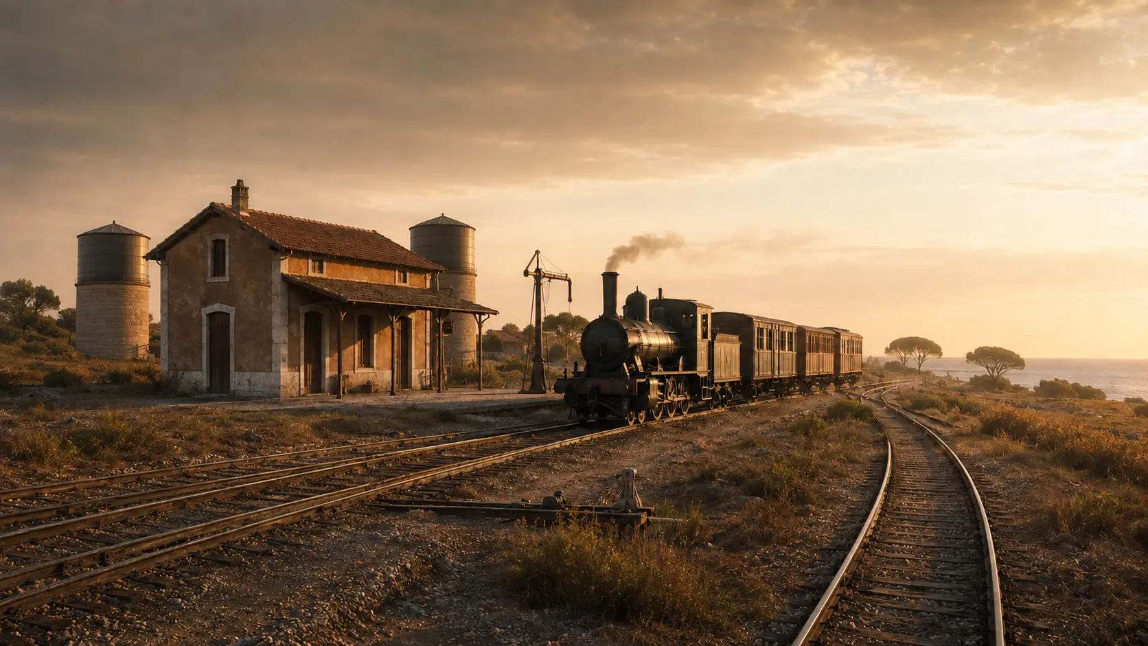
Autore non identificato · da Leopardi, Ferruggia e Martinelli, Treni & Tramvie della bergamasca, 2005, p. 88, via Wikimedia Commons · motivazione PD-scan · conversione WebPThe train, architecture, junction, and tank layout are plausible but are not based on a complete site plan of the station. The scene serves to orient the narrative, not to replace a formal survey.
LADISPOLI.IT editorial reconstruction · generated imageTHREE FACILITIES, THREE LOCATIONS
The page traces the journey from the junction on the Tyrrhenian line to the old seaside terminus, and then to the new station built in 1939.
It served the Rome–Civitavecchia line and, from 1888, routed trains onto the short seaside line.
Active line · no documented public access to railway groundsEstablished with essential services and later equipped with a wooden building, it was dismantled when the branch line was created.
Site of memory · vanished facilityThe new stop on the Tyrrhenian line became the passenger hub for the growing city.
Active station · access subject to railway regulationsESSENTIAL STEPS
Confirmed dates, archaeological phases, and traditions are presented for what they truly represent.
Palo belongs to the first phase of the coastal railway and predates the creation of the seaside branch line.
cronologia ferroviariaThe 2.305-kilometer-long line to the new seaside terminus enters service.
prospetto cronologico FSThe second track reaches Palo from Maccarese and continues towards Santa Severa. This information does not establish the date of the surviving building.
evento ferroviario documentatoPassing tracks, a freight yard, two reservoirs, and a water column bear witness to the complex's functions; the precise chronology of the structures remains to be verified.
funzioni note · datazione apertaRoyal Decree no. 1251 authorized the closure and the removal or disposal of the Palo–Ladispoli line's infrastructure.
atto normativoRailway records place the operational closure in September; the cautious phrasing cites its discontinuation in 1938.
norma certa · giorno operativo da bibliografiaThe new stop on the Tirrenica line replaces the coastal terminus; the permanent station building is completed in the early 1940s.
fonti ferroviarie e archivisticheA service order from the State Railways replaced the previous name, Palo Cerveteri.
ordine di servizio FSTrains travel along the Tyrrhenian line but do not provide passenger service at Palo. Consequently, the surviving structures do not become freely accessible.
quadro operativo correnteWHAT TO OBSERVE
Palo linked Rome and Civitavecchia, and—from 1888—the new seaside resort on the coast.
The branch line was very short, yet it made the new town accessible and supported its initial growth as a tourist destination.
Palo was more than just a stop: the track layout served traffic, shunting operations, and station activities.
Masonry bases and metal vats preserve the technical legacy of steam traction.
The water column transferred water from the storage system to the tenders; there is no record of authorized access to the structure.
Documents the doubling of the railway line: the historic building requires independent dating and cannot simply be attributed to the same year by default.
BEFORE GOING
The Palo complex can be identified only by the accessible public areas. There is no published museum route, no visiting hours for the cisterns, and no confirmed unified ownership of all the buildings and facilities.
Do not step onto the tracks or go beyond fences into courtyards, buildings, or technical areas; do not use unofficial access points or climb on storage tanks. The absence of stopping passenger trains does not mean the railway is disused. For information regarding openings or events, refer only to RFI, the Municipality, or authorized organizers.The line remains active and trains pass through; all conduct must comply with railway safety regulations.
Two elevated tanks and a water column are surviving structures that have been identified, rather than a developed visitor site.
Former living quarters, buildings, and technical infrastructure may be under different management; do not assume access rights based on the site's appearance.
CONSULTABLE SOURCES
This first edition organizes the most solid information. Individual pages may be expanded with documents, surveys, and archival photographs.
Source regarding the opening of the Palo–Ladispoli line on July 1, 1888, and its length of 2.305 kilometers.
Open the source RAILWAY OPERATIONSIncludes the Palo–Ladispoli line in operating schedules and places the line within the national railway system.
Open the source SUPPRESSIONContains the measure ordering the closure of the short railway line and determining the fate of the facilities.
Open the source STATION NAMESource regarding the name change from Palo Cerveteri to Palo Laziale.
Open the source NEW STATIONIt describes the plans for the new Cerveteri–Ladispoli and distinguishes it from earlier layouts.
Open the source MUNICIPAL ARCHIVERecords files regarding the new stop and the access road from the early 1940s.
Open the source SPECIALIST STUDYSpecialized bibliography regarding the route, terminus, and cessation of operations; the full article is not reproduced on the page.
Open the source Current serviceConfirms service at Ladispoli–Cerveteri and the absence of Palo from the current passenger stops.
Open the source DISCOVER THE SECTOROpen the complete catalog of monuments, archaeological sites, and historical landscapes.
Open the sectorCONTINUE THE ROUTE