At least sixty tombs dating from the 7th–6th century BC, featuring two large tumuli and numerous rock-cut chambers.
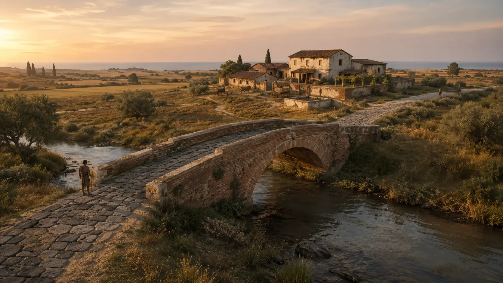
A WATER CORRIDOR · ALMOST THREE THOUSAND YEARS
Vaccina: Ponte dell’Incastro and Piane di Vaccina
Bronze Age settlements, Etruscan tombs, Roman villas, an industrial cistern, and Ostrogothic burials: the Vaccina area brings together diverse histories without conflating them.WhereFosso Vaccina · Piane di Vaccina · Miami neighborhood
PeriodBronze Age–6th century AD
AccessUnequipped site · viewing only from permitted areas
THE SITE AT A GLANCE
The river is the narrative thread, not a single site.
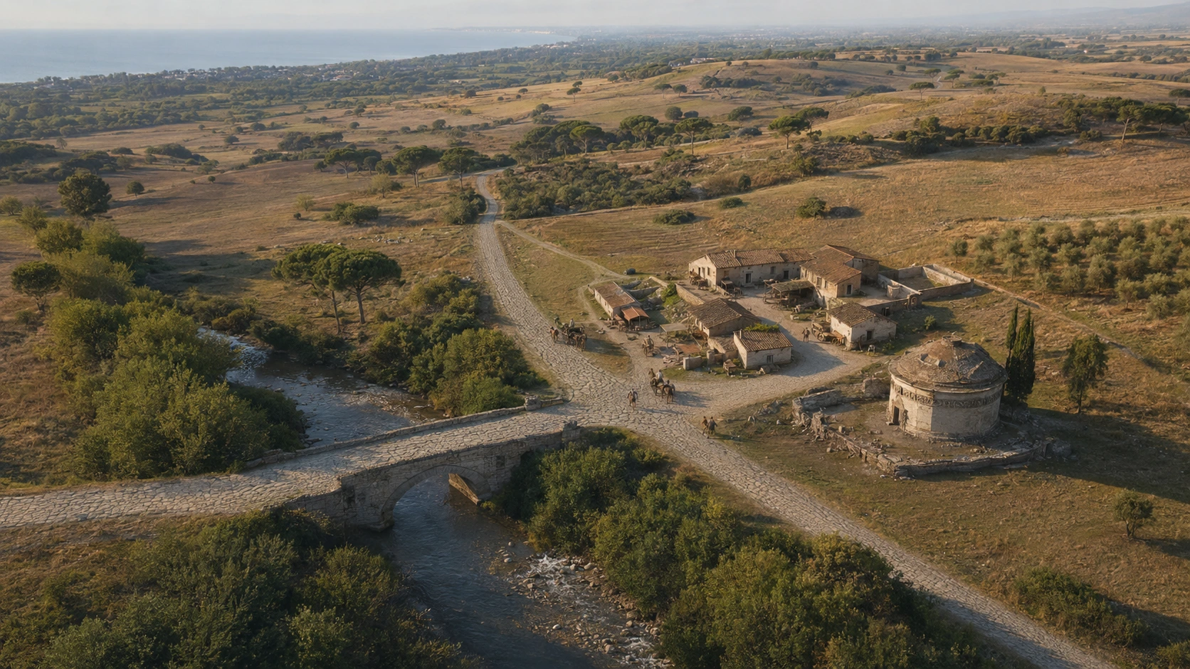
The Fosso Vaccina flows through a landscape where archaeological traces vary in era, function, and location. Bronze Age settlements are documented along its banks; an Etruscan necropolis extends across the hill overlooking the plain; and further downstream, Roman villas, production facilities, and the Ponte dell’Incastro appear.
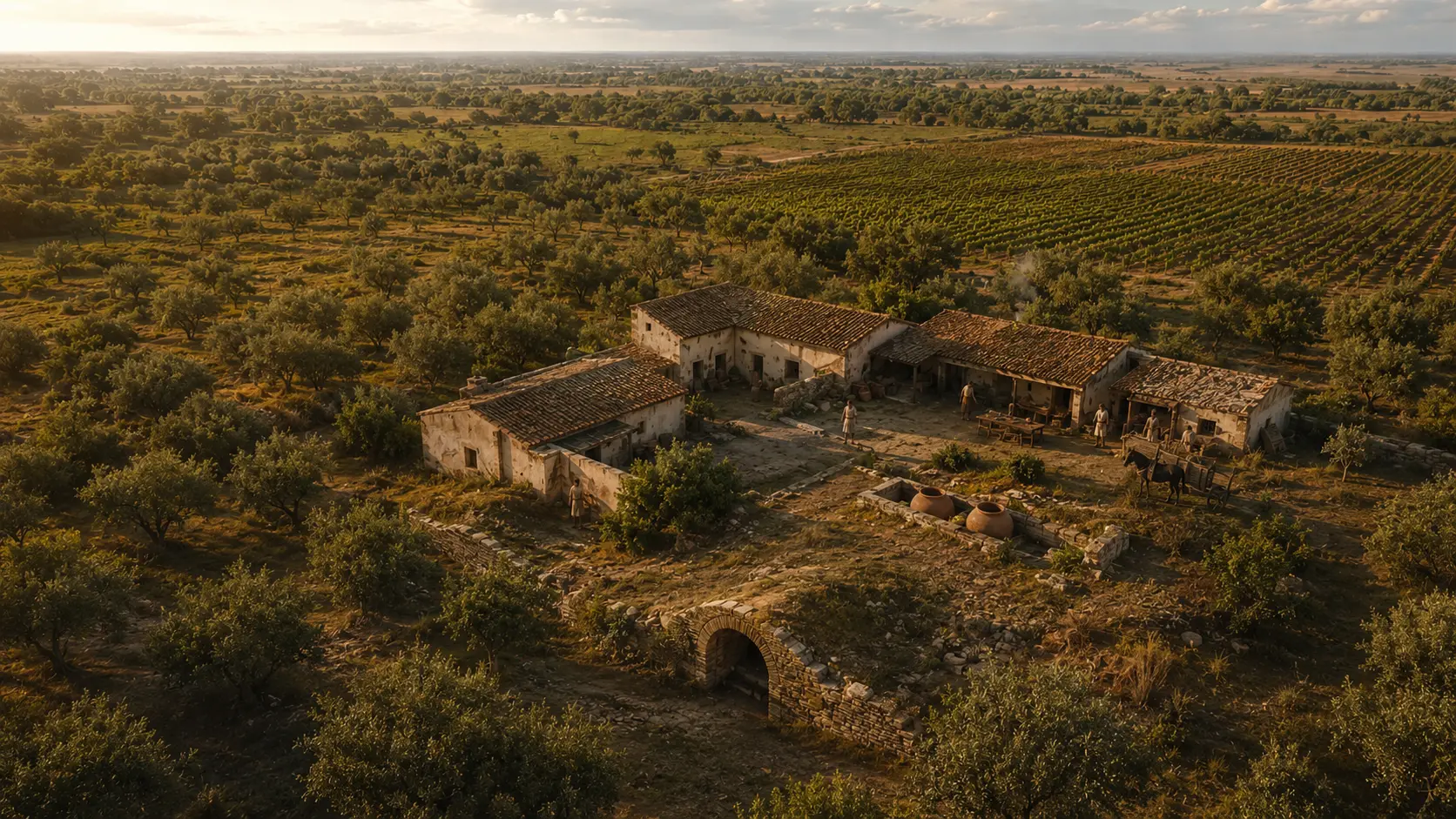
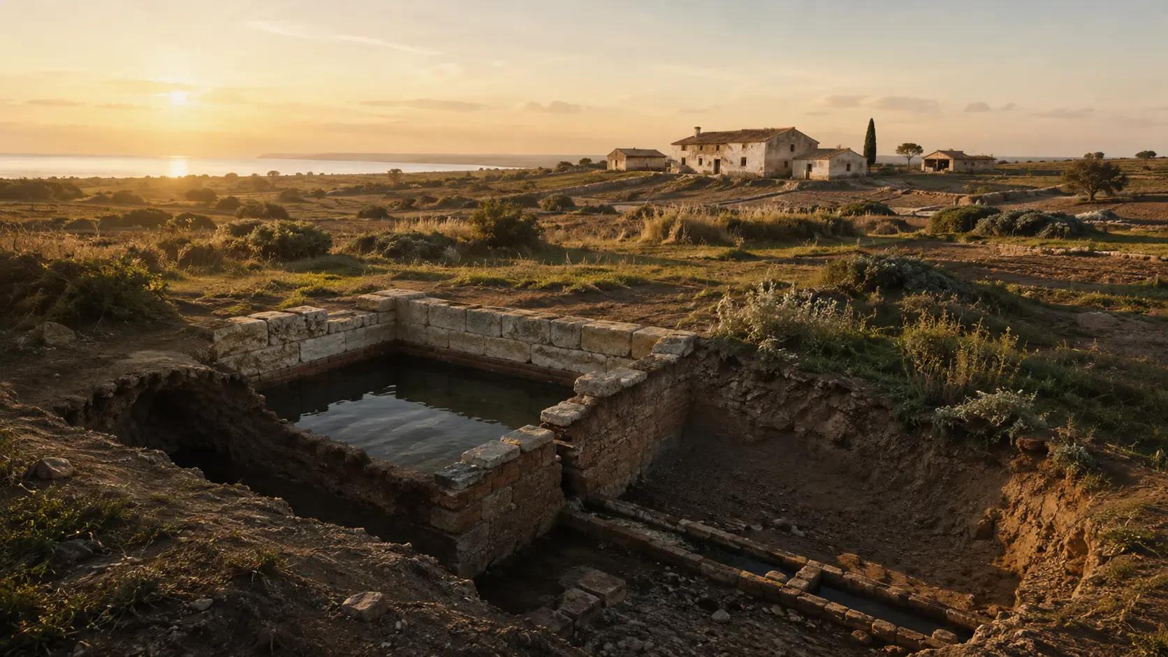
In the Miami subdivision, between Viale Florida and Viale Virginia, an emergency excavation in 1983 revealed a cistern belonging to a *villa rustica*, a probable *torcularium* (wine-pressing area) with a *dolium* and collection vat, and burials created after the rooms had fallen out of use. A short distance downstream, two brickwork abutments and volcanic paving stones in the riverbed preserve the memory of the Roman bridge.
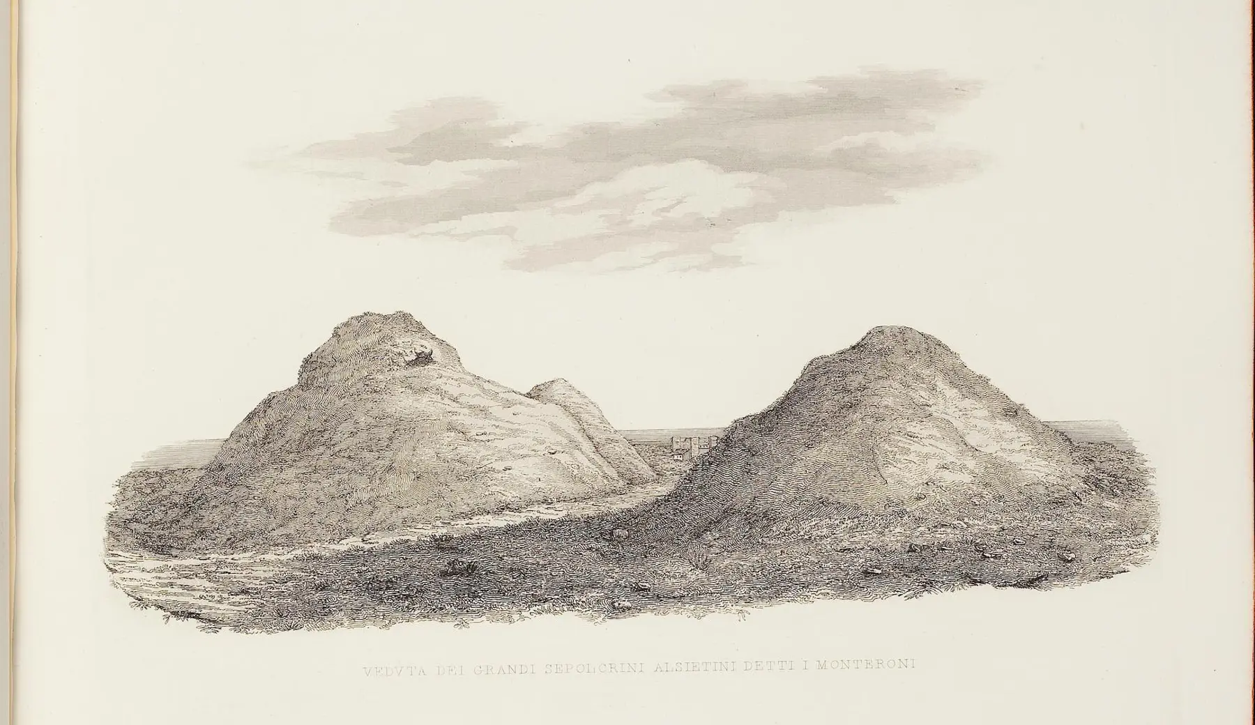
On the rise beyond the Via Aurelia, the Etruscan necropolis comprises at least sixty tombs dating from the 7th and 6th centuries BC; a Roman villa with a small thermal bath section was later built over the burial ground. The Vaccina landscape is thus a sequence of distinct settlements, linked by water and a long history of human habitation.
LANDSCAPE, DOCUMENTS, RECONSTRUCTIONS
Seven images to interpret a multi-layered landscape.
Actual photographs and open-access documents are kept separate from editorial visualizations. No visualization is presented as an archaeological photograph of the monument.
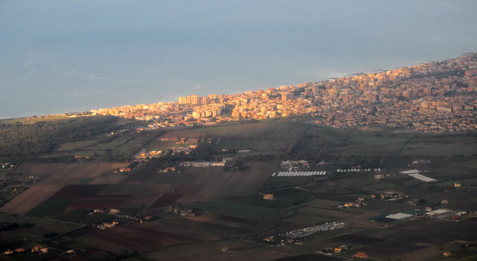
The plain between the city, the fields, and the sea
The view conveys the scale of the contemporary coastal territory. It does not pinpoint the exact location of the bridge or the cistern; rather, it shows the relationship between the agricultural plain, urban expansion, and the coastline.
MrPanyGoff / Wikimedia Commons · CC BY-SA 4.0 · resized image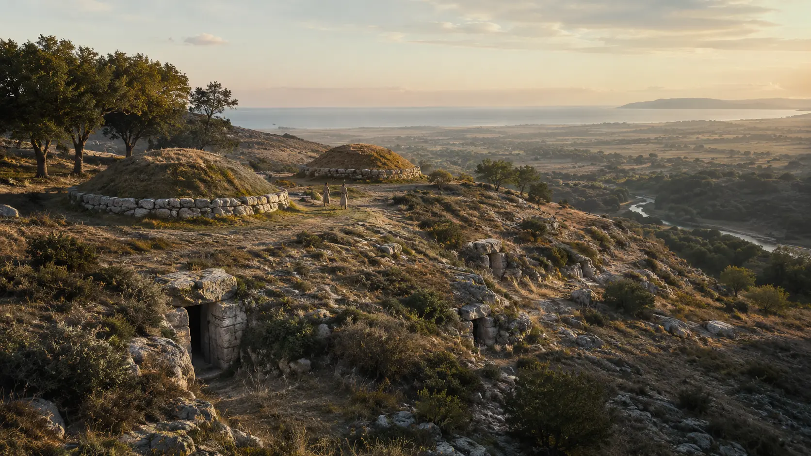
The Hill of the Sixty Tombs
Two large tumuli and numerous chamber tombs are documented; however, their complete form, vegetation, visible openings, and atmosphere are matters of interpretation.
LADISPOLI.IT editorial visualization · acknowledged reconstruction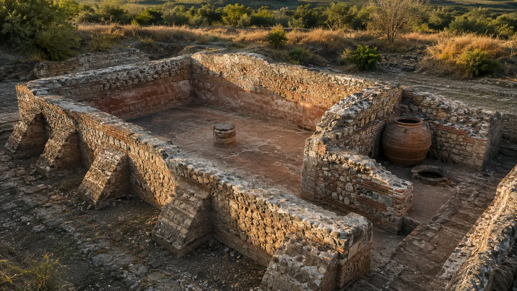
Water, wine, or oil in the *villa rustica*
Buttresses, *cocciopesto* (crushed-pottery mortar), central support, *dolium* (large storage jar), and basin are identified from excavation records. Elevations, room layout, and state of preservation have been reconstructed.
LADISPOLI.IT editorial visualization · based on the 2024 GATC summary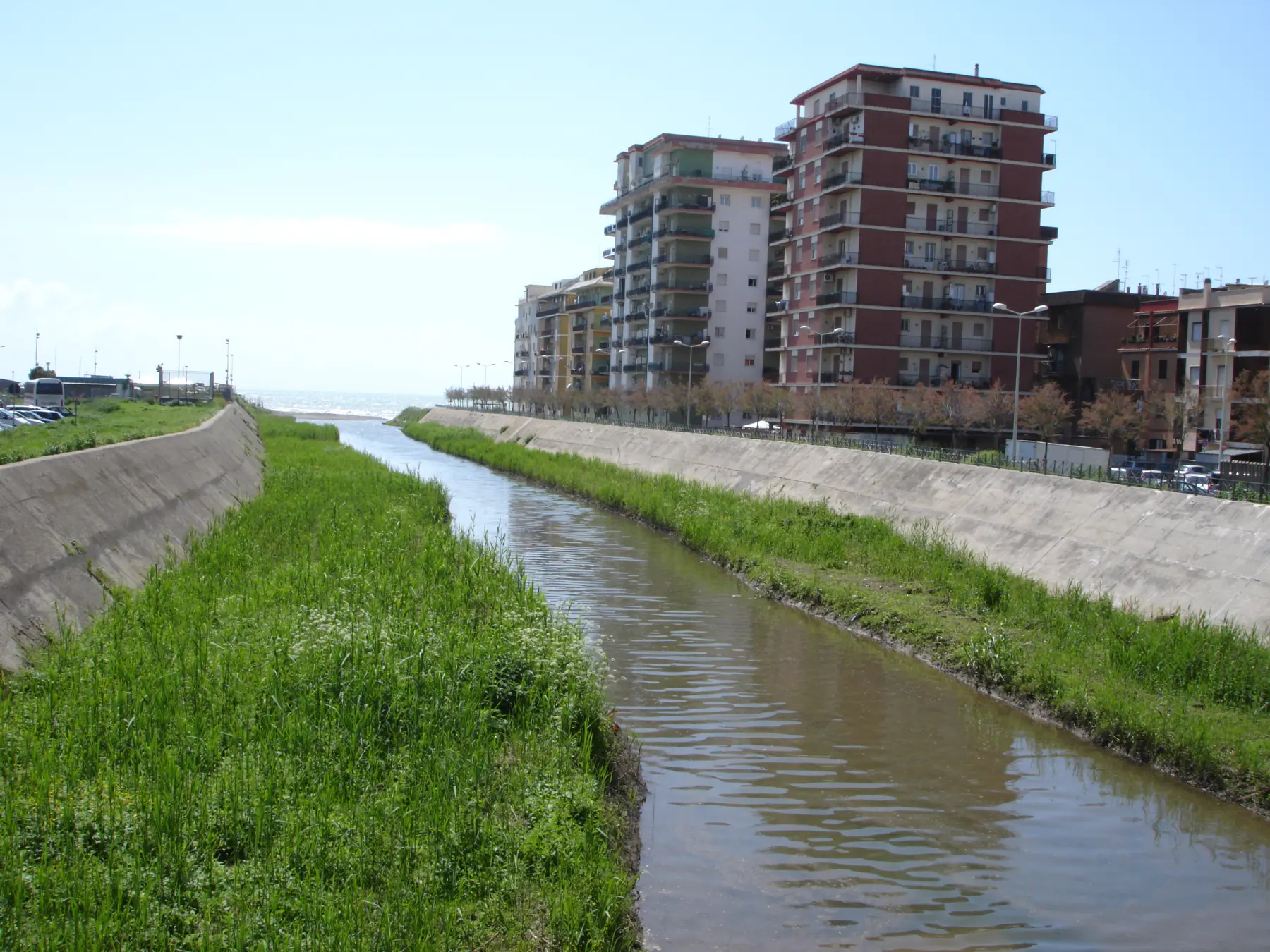
The Vaccina reaches into the city
The photograph documents the urban stretch and the river mouth, not the Ponte dell’Incastro. It helps visualize how the historic river is now hemmed in by embankments, vegetation, and neighborhoods.
Fullo88 / Wikimedia Commons · public domain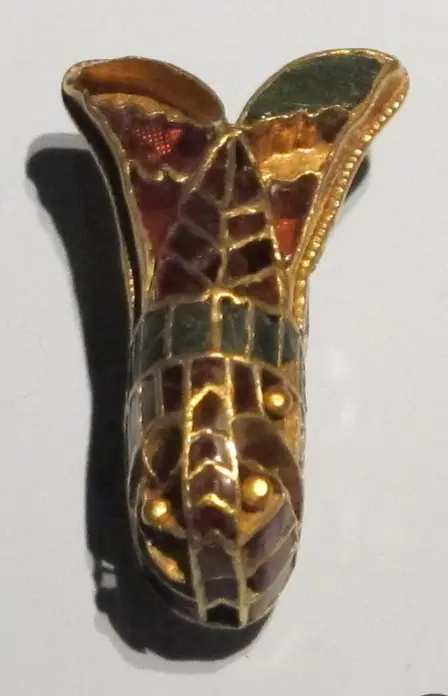
The cicada motif in Ostrogothic jewelry
At Piane di Vaccina, a young woman was laid to rest with two gilded silver cicada-shaped fibulae. This fibula, however, comes from Domagnano; it illustrates the type of object, not the specific artifact found at Ladispoli.
Sailko / Wikimedia Commons · CC BY-SA 3.0 · WebP conversion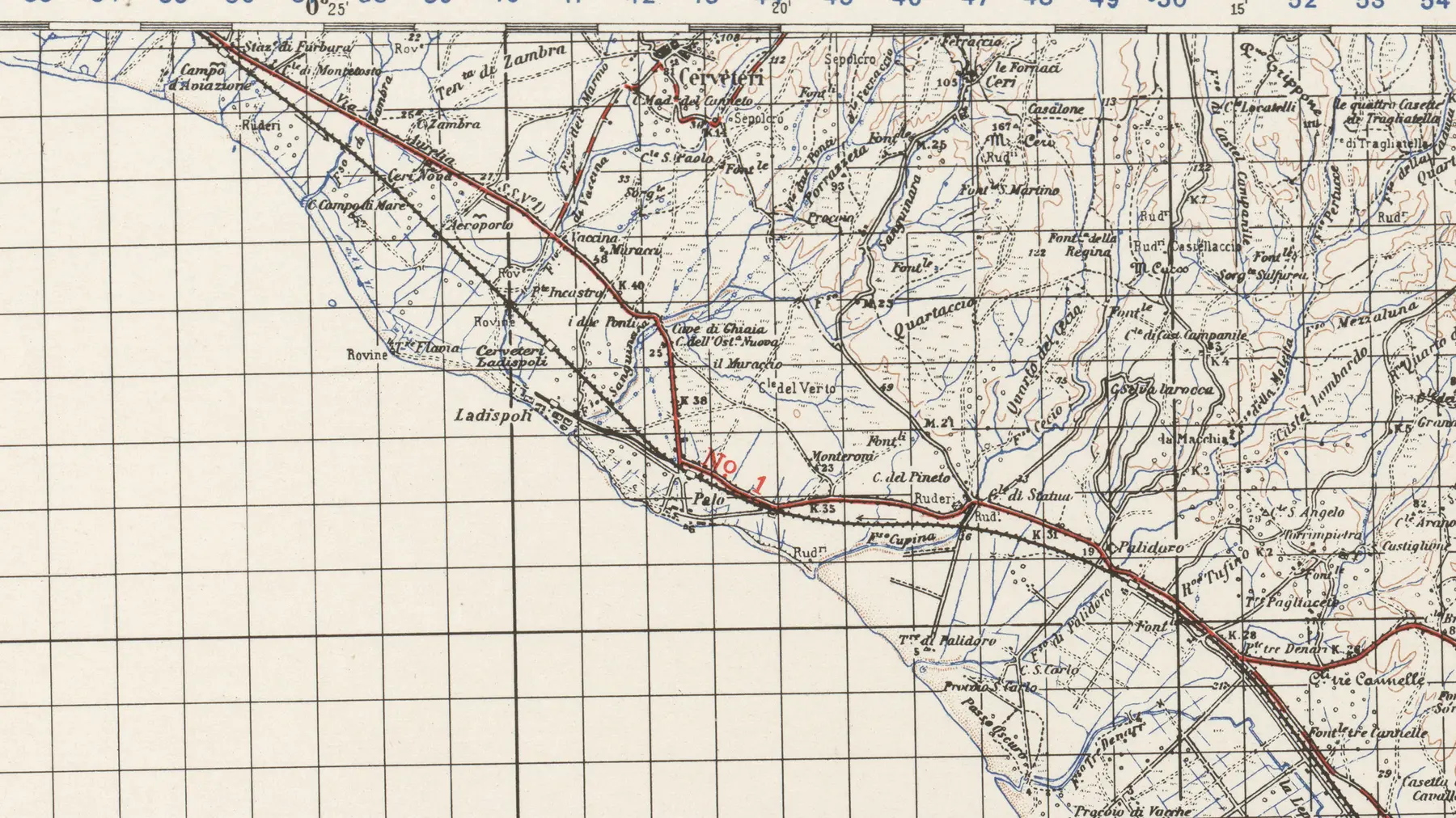
“P.te Incastro” appears on the map
The map explicitly records the place name near the Vaccina stream and clearly shows Ladispoli, Palo, Statua, and the ancient Via Aurelia. It is a modern topographical map, not an archaeological plan.
U.S. Army Map Service · Perry-Castañeda Library / Wikimedia Commons · public domain · croppedNUMBERS THAT CONVEY THE SCALE
Extensive landscape data; no erroneous bridge measurements.
Research has published data on the quantities and dimensions regarding the protohistoric excavations and the necropolis. Conversely, no reliable measurements for the span, height, or width of the Ponte dell’Incastro are available.
Fieldwork along the banks of the Vaccina has documented wooden structures belonging to a Late Bronze Age settlement.
Emergency intervention work brought to light the cistern, production areas, and Late Antique burials.
The burials date to the period between the second half of the 5th century and the early decades of the 6th century AD.
- 01 · PRE-ROMANSettlement and necropolis
Bronze Age structures on the banks and an Etruscan necropolis on the hill belong to different periods and communities.
- 02 · ROMAN LANDSCAPEVillas, production facilities, and bridge
Two villa complexes, an industrial cistern, and a stream crossing define the organization of the territory in the Roman era.
- 03 · LATE ANTIQUITYThe rooms become tombs
When the *torcularium* (wine press) and cistern ceased to function, the structures became the site of burials likely linked to Ostrogothic groups.
SIX DISTINCT SECTIONS
From the plateau to the bridge, following the Vaccina stream.
The value of this page lies in holding the landscape together without flattening out archaeological distinctions. Each cluster preserves its own chronology and distinct level of historical understanding.
- 01Banks and plateau
The Bronze Age settlement
Postholes, oval structures, wetland modifications, and Mycenaean-style pottery document a community integrated into Mediterranean networks.
Excavations 2008–2010 · undeveloped areas - 02VACCINA HILL
The Etruscan necropolis
At least sixty tombs, two "Orientalizing" style tumuli, and chambers with side benches make up one of the most extensive necropolises in the territory of Caere.
Heritage listing since 1971 · no regular visits - 03ABOVE THE NECROPOLIS
The villa and the small thermal baths.
From the 3rd–2nd century BC to the 5th century AD, a Roman villa occupied the high ground, featuring a residential area and a bath complex that is still discernible.
Unit distinct from the Miami *villa rustica* - 04PIANE DI VACCINA · MIAMI
Cistern and *torcularium* (wine press)
The *opus mixtum* (mixed masonry) cistern served a rural villa; a large storage jar (*dolium*) and a basin indicate an area used for processing wine or oil.
Between Viale Florida and Viale Virginia · access to be verified - 055TH–6TH CENTURY
Late Antique burials
Capuchin-style tombs reuse disused spaces. A gold ring and cicada-shaped fibulae link a young woman to Germanic and Ostrogothic cultures.
Excavation finds · no tombs open to visitors - 06FOSSO VACCINA
Incastro Bridge
Two brick abutments supported the arch; between them, lava-rock paving stones emerge, linked to a Roman road alignment that has not yet been precisely defined.
The riverbed and embankments do not constitute a visitor route.
ESSENTIAL STEPS
The history,
in order.
Confirmed dates, archaeological phases, and traditions are presented for what they truly represent.
- 01
Early presence on the plateau
Archaeological evidence suggests very early human presence at Casali or Muracci di Vaccina. The place name does not refer to the *Muracci di Palo* site in the Olmetto locality, which is a distinct site.
quadro possibile - 02
A settlement spanning both banks
Wooden structures, organized wetland areas, and Mycenaean-style pottery indicate a settlement involved in long-distance trade networks.
scavi 2008–2010 - 03
The great Etruscan necropolis
Chamber tombs and burial mounds associated with a community controlled by Caere are clustered on the hill.
almeno 60 tombe - 04
The villa occupies the burial ground.
A new Roman complex was established on the high ground and remained in use for many centuries.
inizio della fase romana - 05
Production, water, and transit
Villas, cistern, *torcularium*, and bridge organize the plain; the precise date of the bridge cannot yet be determined.
cronologia ampia - 06
Tombs in the abandoned spaces
*Cappuccina*-style burials occupy the *torcularium* and spaces near the cistern, containing grave goods of Ostrogothic tradition.
attribuzione fortemente sostenuta - 07
Mengarelli identifies the necropolis
Early modern surveys recorded the large burial ground, which was subsequently plagued by decades of illicit excavations.
storia della ricerca - 08
The archaeological preservation order
The Etruscan necropolis has been placed under heritage protection—a measure still cited in regional documents from 2025.
atto amministrativo - 09
The emergency excavation in Miami
The Superintendency uncovers the cistern, the associated rooms, and the Late Antique burial ground.
intervento documentato - 10
Bronze Age village re-emerges
New fieldwork along the banks of the Vaccina reveals structures and ceramics that radically expand the history of the area.
scavi archeologici - 11
The bridge becomes part of the hydraulic project
The Region mandates specific archaeological precautions for risk-mitigation works along the final stretch of the ditch.
atto regionale
WHAT TO OBSERVE
Reading the site,
detail by detail.
Wooden houses and Mediterranean connections
Dozens of postholes and Mycenaean-style ceramic fragments make Vaccina a key site for the protohistory of the coast.
Two burial mounds and numerous chambers
The necropolis utilizes the hill's most prominent high points, featuring rock-cut tombs arranged in groups reflecting family ties.
A villa atop the tombs
The Roman settlement on the hill includes a residential area and a small bath complex, which can be viewed as a self-contained unit.
Mixed-media work and *cocciopesto*
External buttresses, a waterproof floor, and a central support characterize a reservoir designed for the economy of a *villa rustica*.
*Dolium*, vat, and presses
The room near the cistern is interpreted as a *torcularium*: a space for processing the harvest, likely wine or oil.
Cicada-shaped fibulae
A gold ring and two gilded silver fibulae accompanied a young woman—rare evidence of an Ostrogothic presence in Lazio.
Brick and paving stones in the water
The opposing abutments and the volcanic paving are established facts. The sluice gates and the origin of the name "Incastro" remain hypotheses.
BEFORE GOING
Visiting means, above all, not exposing oneself to risk and not causing damage.
The bridge, cistern, necropolis, and protohistoric areas are not organized as an archaeological park with a ticket office and regular opening hours. Furthermore, the Fosso Vaccina is subject to flood risks and hydraulic engineering works.
Do not descend into the riverbed or onto the embankments; do not enter private plots, fenced areas, tombs, or excavation sites; and do not approach the area after rainfall or during high water levels. The map indicates only the general area. Participate only in authorized visits announced by the Municipality, the Superintendency, or recognized archaeological associations.The sources consulted do not publish opening hours, ticket information, or daily access details for the individual archaeological sites.
Flooding, wet ground, and maintenance work make the riverbed and banks dangerous; do not use them as a shortcut.
Illicit excavations have already damaged the area. Do not remove materials and report any issues to the relevant authorities.
CONSULTABLE SOURCES
To learn more,
and verify.
This first edition organizes the most solid information. Individual pages may be expanded with documents, surveys, and archival photographs.
LOCAL ARCHAEOLOGICAL GUIDE
Ladispoli’s historical and archaeological heritage
Municipality · GATC · GAR · 2024Summary covering the necropolis, villa, cistern, Late Antique tombs, and the Ponte dell’Incastro, including specialized bibliography.
Open the source REGIONAL ACT · FLOOD RISKInterventions on the Fosso Vaccina
Lazio Region · 5 May 2022Status of the Roman bridge, archaeological requirements, and risk assessment along the final stretch of the watercourse.
Open the source ARCHAEOLOGICAL PROTECTIONHeritage listing: Vaccina necropolis
Lazio Region · 27 May 2025Urban planning act referencing the Ministerial Decree of May 13, 1971, regarding the Etruscan area.
Open the source PROTOHISTORIC EXCAVATIONThe Late Bronze Age complex on the banks of the Vaccina
Barbaro · Baroni · Bettelli · Damiani · De Angelis · Minniti · TruccoExcavation data regarding wooden structures, a wetland area, and new evidence of Mycenaean-style ceramics.
Open the source LATE ANTIQUITYAger Caeretanus: Late Antique settlement patterns
Flavio EneiContextualization of the Piane di Vaccina deposits and their attribution to Ostrogothic groups between the 5th and 6th centuries.
Open the source STUDY OF GRAVE GOODSLate Antique burials near Ladispoli
Rita Cosentino · Bollettino d’Arte 37–38 · 1986Study of the grave goods—including Ostrogothic jewelry—recovered from the excavation near the cistern.
Open the source Initial reportsArchaeological documentation of the Caeretan area
Raniero Mengarelli · Studi EtruschiMaps and historical surveys useful for reconstructing the discovery of the Vaccina necropolis.
Open the source COASTAL LANDSCAPECaere and its landing places
Giorgia Grosso · Sapienza · 2024Recent scientific assessment of the coastline and hypotheses regarding landing sites, kept distinct from the confirmed data concerning the bridge.
Open the source DISCOVER THE SECTORAll the places of memory.
Open the complete catalog of monuments, archaeological sites, and historical landscapes.
Open the sectorCONTINUE THE ROUTE