Designated waters
All classified bathing waters in the Municipality are rated "excellent" based on 2022–2025 data.

10 SECTIONS · 8.3 KM OF COASTLINE · 2026 DATA
An honest and useful guide
The Ladispoli coast may be less spectacular than some Sardinian shores, but it is far more diverse than three generic names might suggest. The sandy beaches, access points, amenities, environmental protections, and relationship with history vary significantly from place to place.
We have identified ten operational sectors. The term "free beach" refers only to a stretch of coast not under private concession, as defined by official records and signage; we do not apply this label to entire kilometers of coastline without evidence.
2026 Bathing Season
All classified bathing waters in the Municipality are rated "excellent" based on 2022–2025 data.
The official Vaccina–Sanguinara stretch extends slightly beyond both river mouths; swimming, surfing, SUP, and windsurfing are prohibited.
ARPA takes samples during the season. Temporary ordinances, flags, and signs on site always take precedence.
FROM NORTH TO SOUTH
NORTHERN BOUNDARY → TORRE FLAVIA
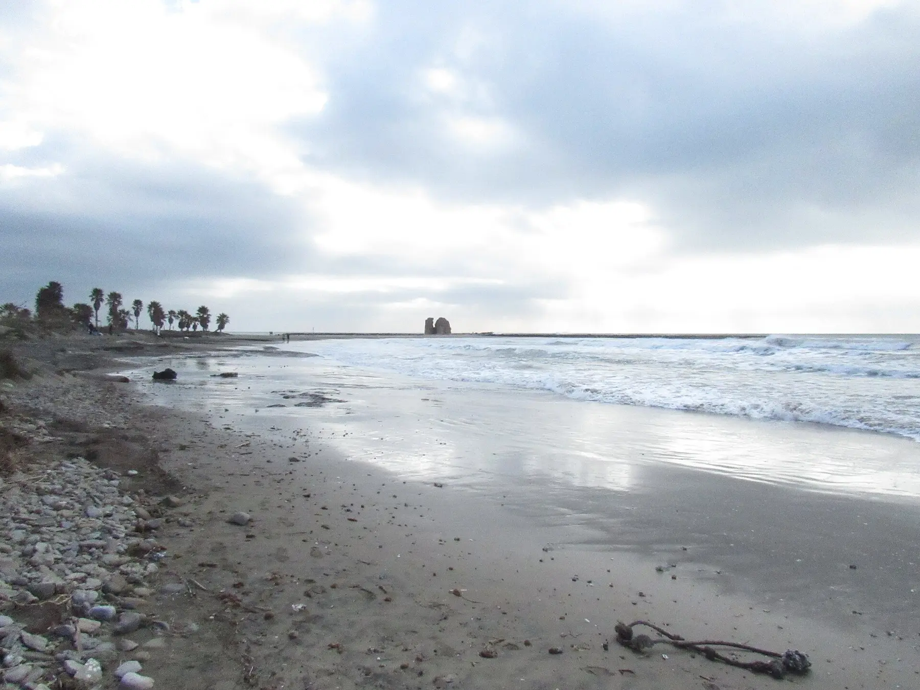
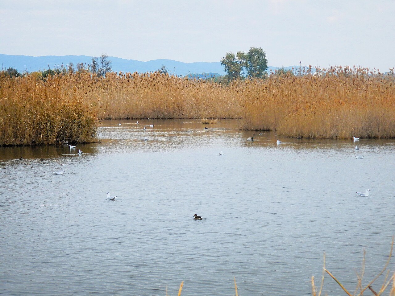
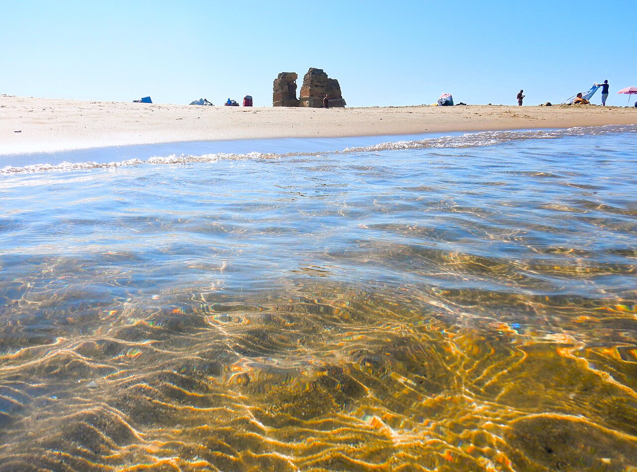
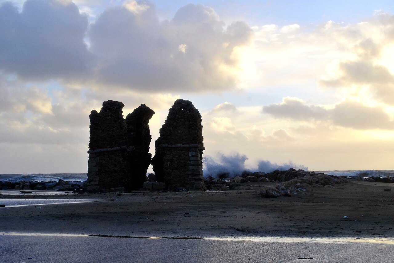
Ladispoli’s most natural stretch: dark sand, dunes, a wetland area, and the tower located about 80 meters from the shoreline. It is a fragile landscape—even more so than an urban beach.
TORRE FLAVIA → NORTHERN SEAFRONT
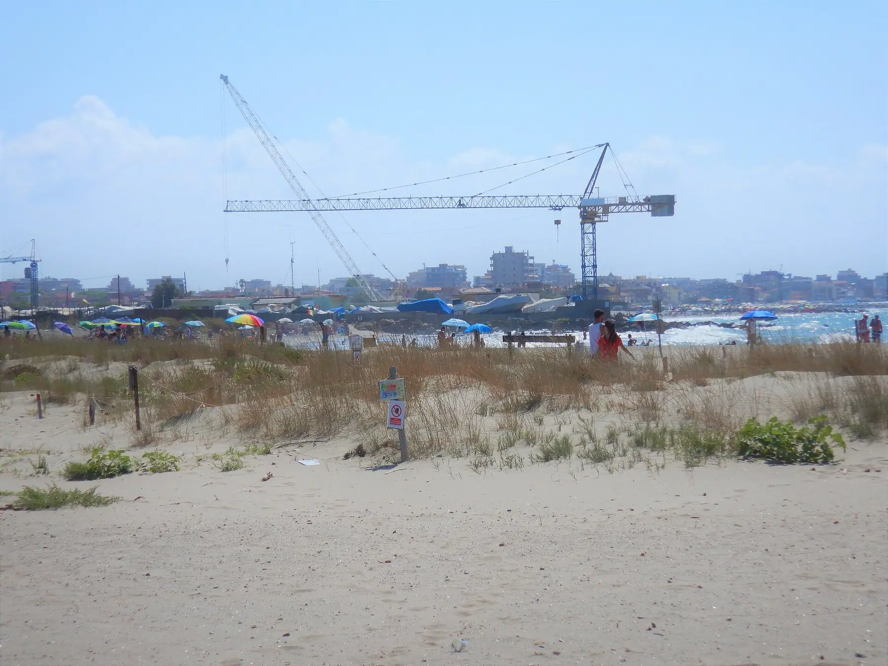
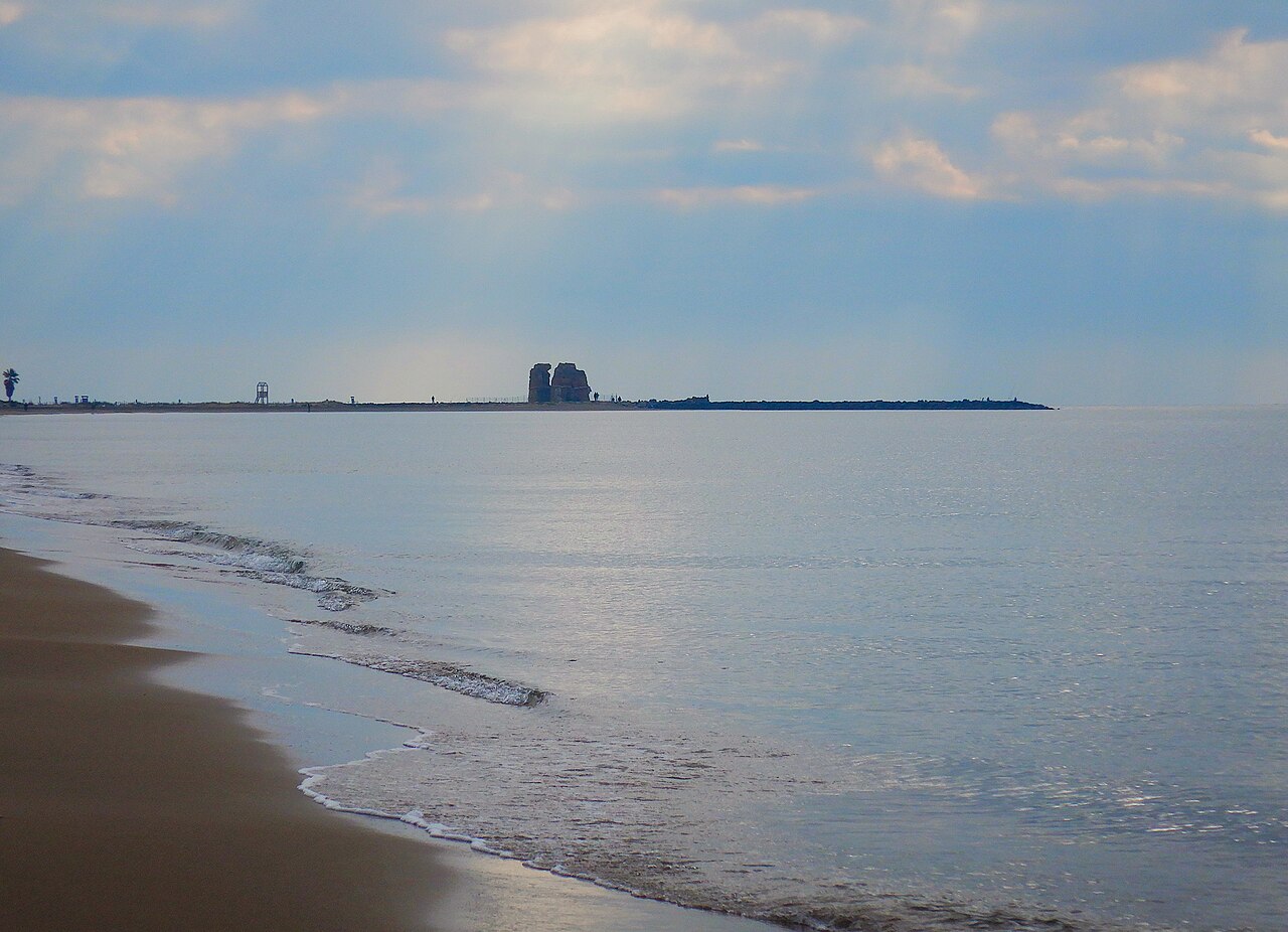
The coastline transitions gradually from a protected environment to the town’s seafront. Access points, public beach areas, and private beach clubs alternate along the shore; it is not a single, uniform beach.
VIA SANREMO → NORTH OF VACCINA
It is the area closest to the station, the town center, and local services. It comprises a succession of serviced beach areas and non-concession sections, rather than one large, continuous free beach.
CENTRAL COASTLINE · "TWO MOUTHS" ZONE
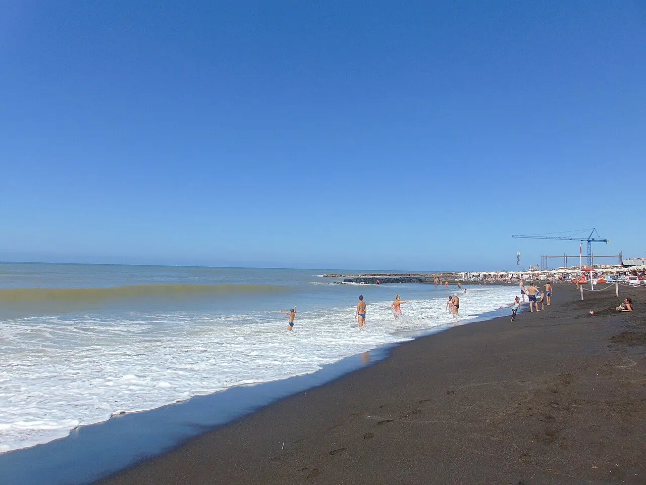
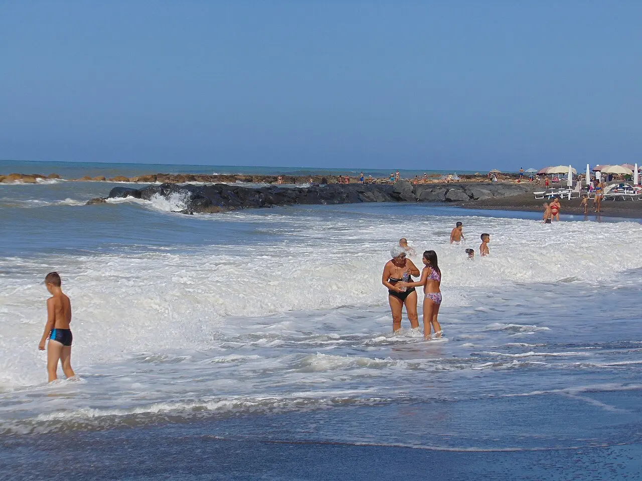
It is a large, visually open central section; however, for 2026, the Region has designated the stretch of water between coordinates 41.949253, 12.069872 and 41.942808, 12.083170 as unsuitable for swimming—this zone extends slightly beyond both river mouths.
SOUTH OF THE SANGUINARA → MARINA DI PALO
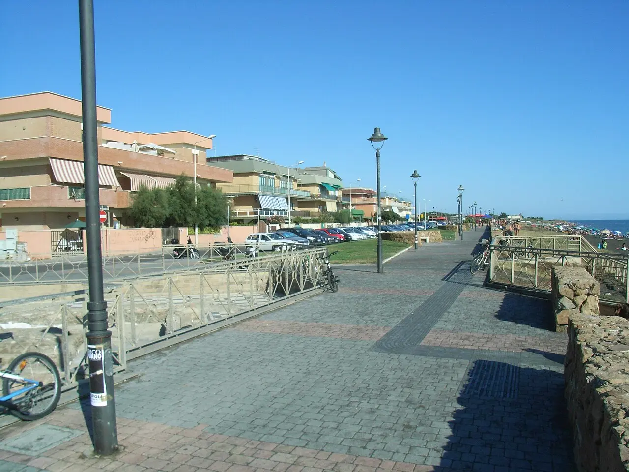
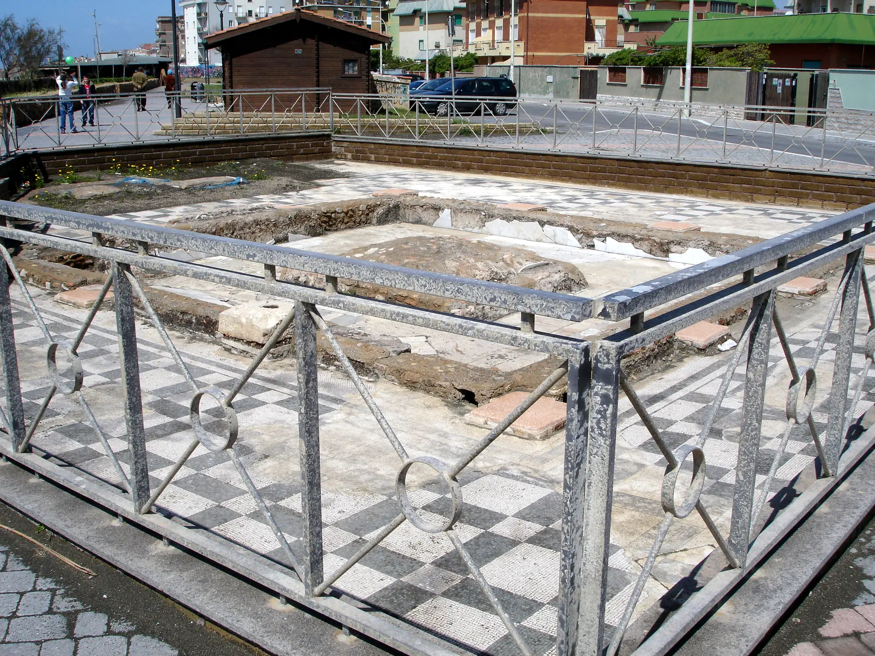
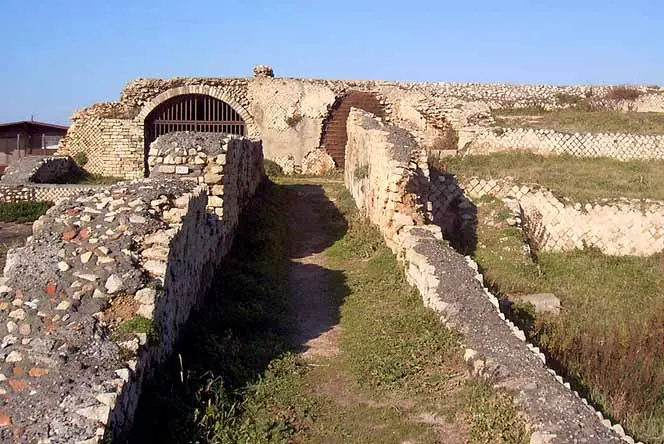
South of the Sanguinara, a designated bathing water area begins again. The photograph shows the Marina di Palo seafront; in the foreground, the fenced archaeological site of the Roman villa is visible—not the northern coastline.
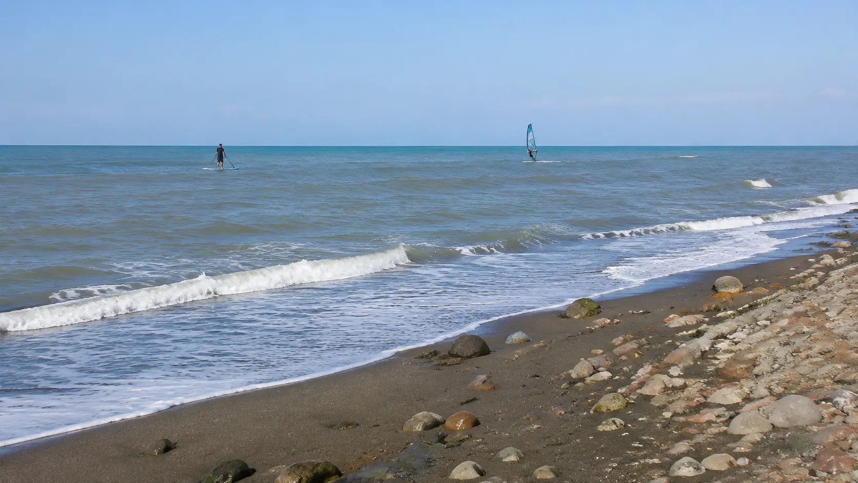 EDITORIAL RECONSTRUCTION · REPRESENTATIONAL VIEWS06
Marina di Palo · Accessibility and sports
It is the most concrete reference point for those seeking accessibility and water sports: the municipal inclusive beach "IN ONDA" and, further south, the documented sports facilities at Riva di Palo.
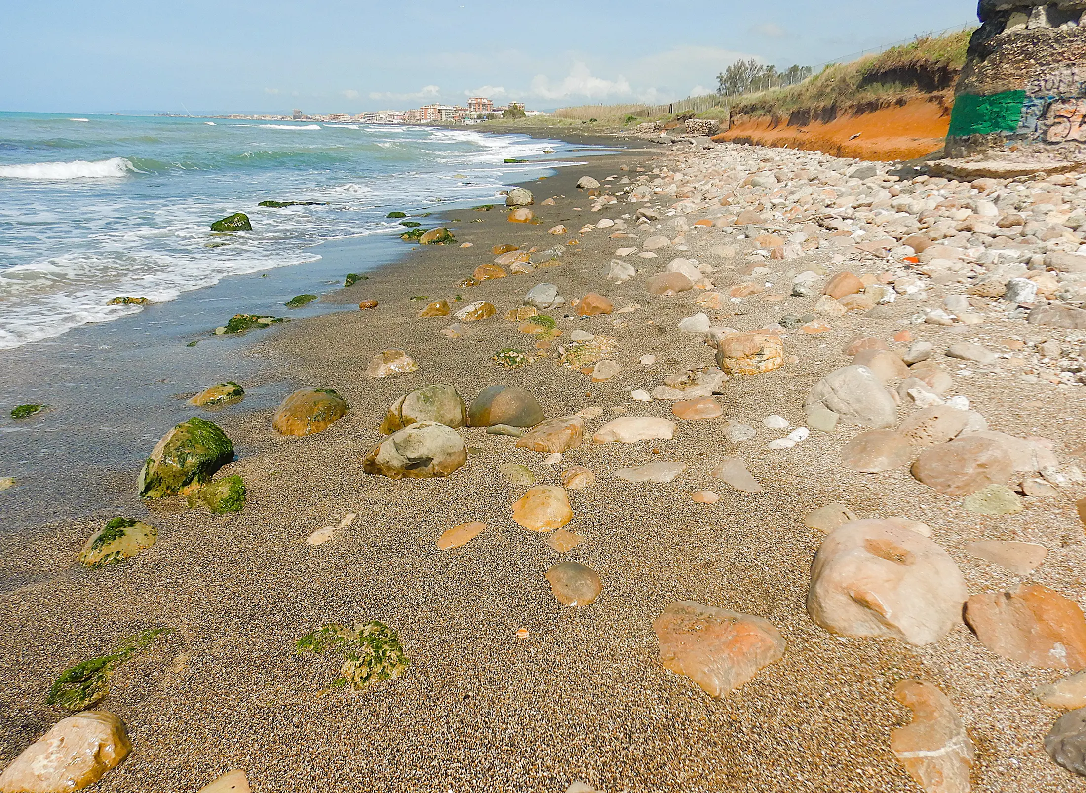 ACTUAL PHOTOGRAPH · PALO LANDSCAPE07
PALO WOODS → COASTAL BUNKER
A less urbanized area, linked to the Palo Woods and marked by erosion. The bunker serves as a landscape landmark rather than the official start of a developed beach.
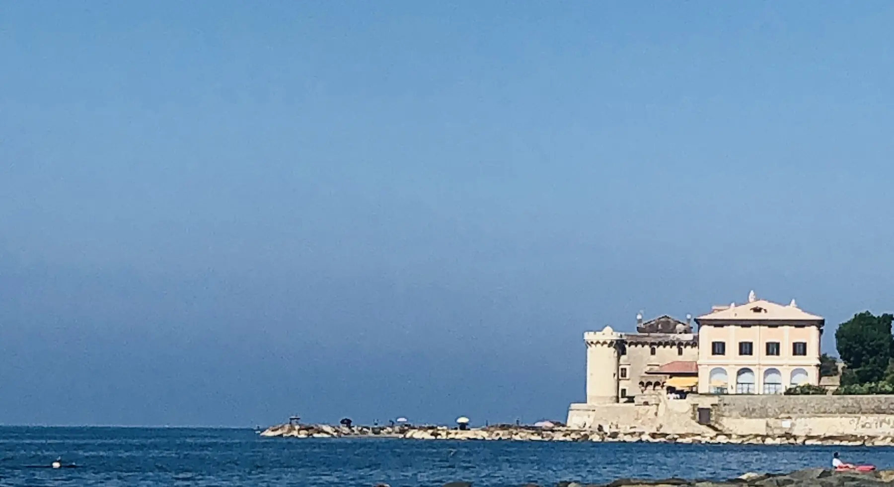
BUNKER → CASTLE → POSTA VECCHIA
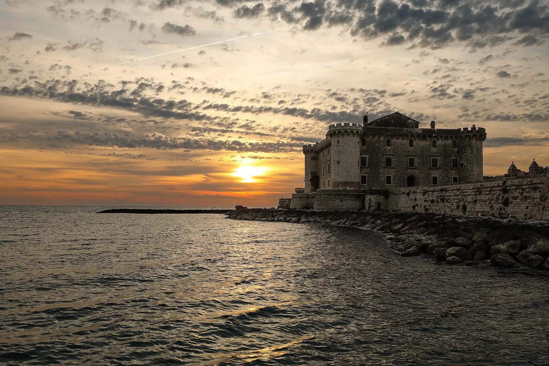
The coastline meets Odescalchi Castle, La Posta Vecchia, and the site of ancient Alsium. It is one of Ladispoli’s most recognizable vistas, yet it should not be described merely as a broad, continuous stretch of public beach.
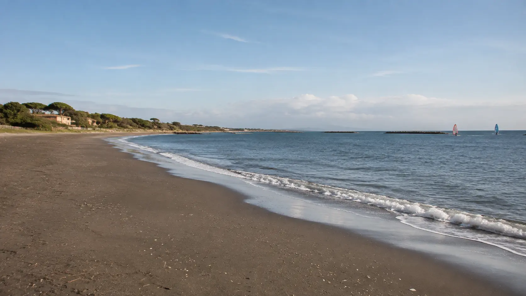 EDITORIAL RECONSTRUCTION · NOT A PHOTOGRAPH09
POSTA VECCHIA → LUNGOMARE SERGIO LEONE
Continuing south, the coastal district features both serviced beach clubs and stretches of free, public beach. Local listings indicate eight private beach clubs and eight free beaches, though the exact locations must be identified on-site.
VIA TRE PESCI → ARCHAEOLOGICAL BOUNDARY
At the eastern end of San Nicola, the beach meets an area designated for archaeological protection. This is also the area with the clearest documentation regarding accessibility and the presence of a federal surf and SUP school at the Luciano beach club.
EDITORIAL RECONSTRUCTION · NOT A REAL SESSIONSURFING · WINDSURFING · SUP · CANOEING
Riva di Palo lists SUP, windsurfing, surfing, and canoeing among its experiences or activities. Ask directly about availability, locations, and conditions.
Riva di Palo ↗Free Surfing Italia operates at the Luciano beach club as a federally recognized surf and SUP school, located at a site that also boasts accessibility features.
Luciano Beach Club ↗COASTAL VISUAL ARCHIVE
The source image captures the view from the beach north of the tower. It is an authentic winter photograph: it has not been embellished, nor was it used to depict a different stretch of the coast.
AleM20 · CC BY-SA 4.0 · Wikimedia Commons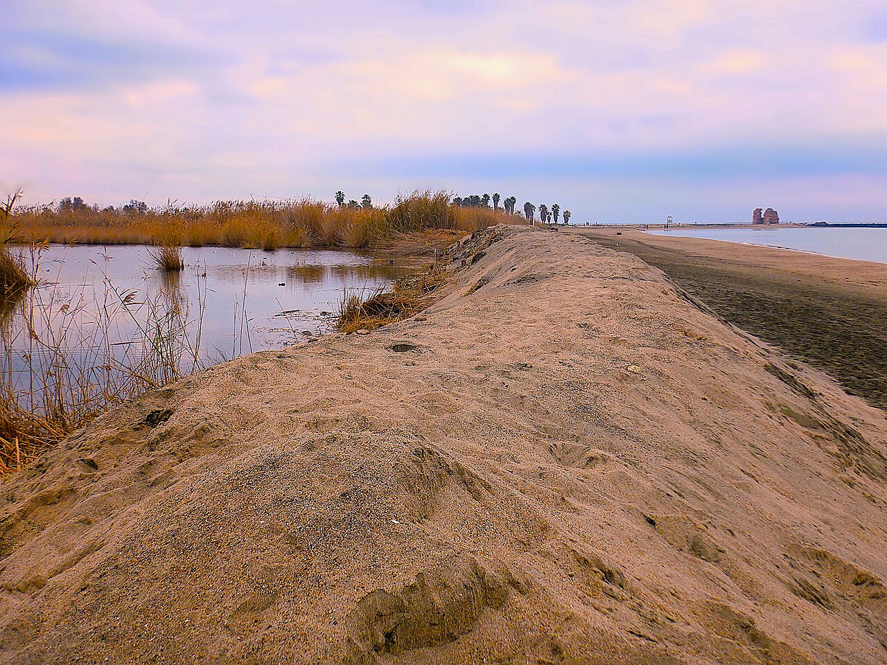
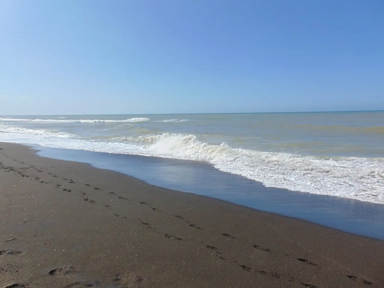
A reusable photograph documents the relationship between the beach and the protected wetland area. Access points and protection status should always be verified on-site.
Albarubescens · CC BY-SA 4.0 · Wikimedia CommonsThe photograph reveals the low-lying, sandy nature of the coastline. It does not attest to specific access points, water quality for swimming, or the conditions on any given day.
Albarubescens · CC BY-SA 4.0 · Wikimedia CommonsThe scene documents how the character of the beach can change depending on the sea; it neither describes ordinary conditions nor authorizes access during severe weather events.
Petrus69 · CC BY-SA 4.0 · Wikimedia CommonsA documented view from Torre Flavia beach looks toward the city and replaces the photograph of Marina di Palo that had been mistakenly attributed to the northern sector.
Albarubescens · CC BY-SA 4.0 · Wikimedia CommonsThe basin, mosaic, and enclosure visible in the foreground identify the Marina di Palo seafront, located immediately southeast of the Sanguinara river mouth when heading towards Rome. This is not the northern coastline.
Notafly · CC BY-SA 3.0 · Wikimedia Commons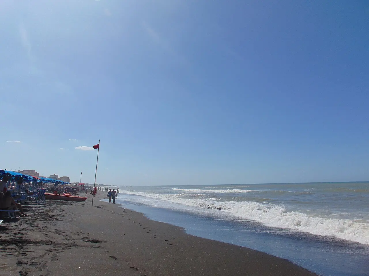
The photograph is geolocated in the central sector. As of 2026, the official Vaccina–Sanguinara zone—extending beyond both river mouths—is not designated for swimming; visual beauty does not alter health regulations.
Nicholas Gemini · CC BY-SA 4.0 · Wikimedia CommonsThis photograph belongs to the same series geolocated in the central sector. The presence of people on the shore does not alter the 2026 classification of the water as unsuitable for swimming.
Nicholas Gemini · CC BY-SA 4.0 · Wikimedia Commons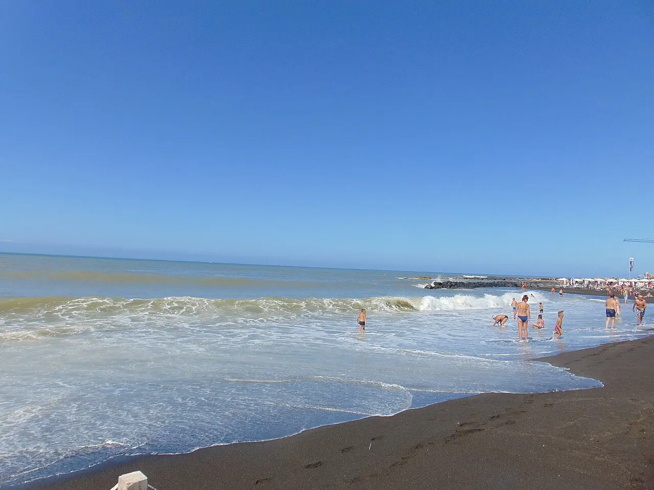
Another real-life view of the same area reveals the extent of the beach. We do not present it as a spot for swimming or water sports.
Nicholas Gemini · CC BY-SA 4.0 · Wikimedia CommonsA third documentary view of the same sector shows the relationship between the urban beach and coastal structures. It is not reused to depict Torre Flavia, Palo, or San Nicola.
Nicholas Gemini · CC BY-SA 4.0 · Wikimedia CommonsThe scene draws upon the actual character of the Palo coastline and depicts activities documented in local records. It does not portray Riva di Palo or a specific event that actually took place.
Original LADISPOLI.IT editorial reconstruction · 2026The dark shoreline, pebbles, and rocky outcrops document the landscape of Palo without implying a continuous or easily accessible beach.
Albarubescens · CC BY-SA 4.0 · Wikimedia CommonsThe archaeological detail unambiguously identifies the area shown in the photograph of the waterfront. It is not a view of the northern coast.
Fullo88 · public domain · Wikimedia CommonsThe photograph documents the actual Odescalchi Castle connected to the coastline. The source does not record the shooting location; we do not attribute an orientation to the scene that cannot be proven.
Matteo Pappadopoli · CC BY-SA 4.0 · Wikimedia CommonsThe photograph clarifies the actual location of the two buildings, which are connected to the coast rather than situated on non-existent islands or high ground.
Paoladepalma1979 · CC BY-SA 4.0 · Wikimedia CommonsThe low-lying coast, dark sand, and coastal structures are derived from the observed context. The scene does not depict a specific beach and may differ from actual conditions.
Original LADISPOLI.IT editorial reconstruction · 2026The actual remains serve as a reminder that this final stretch of coastline is not merely a beach destination; access and archaeological preservation requirements must be respected separately.
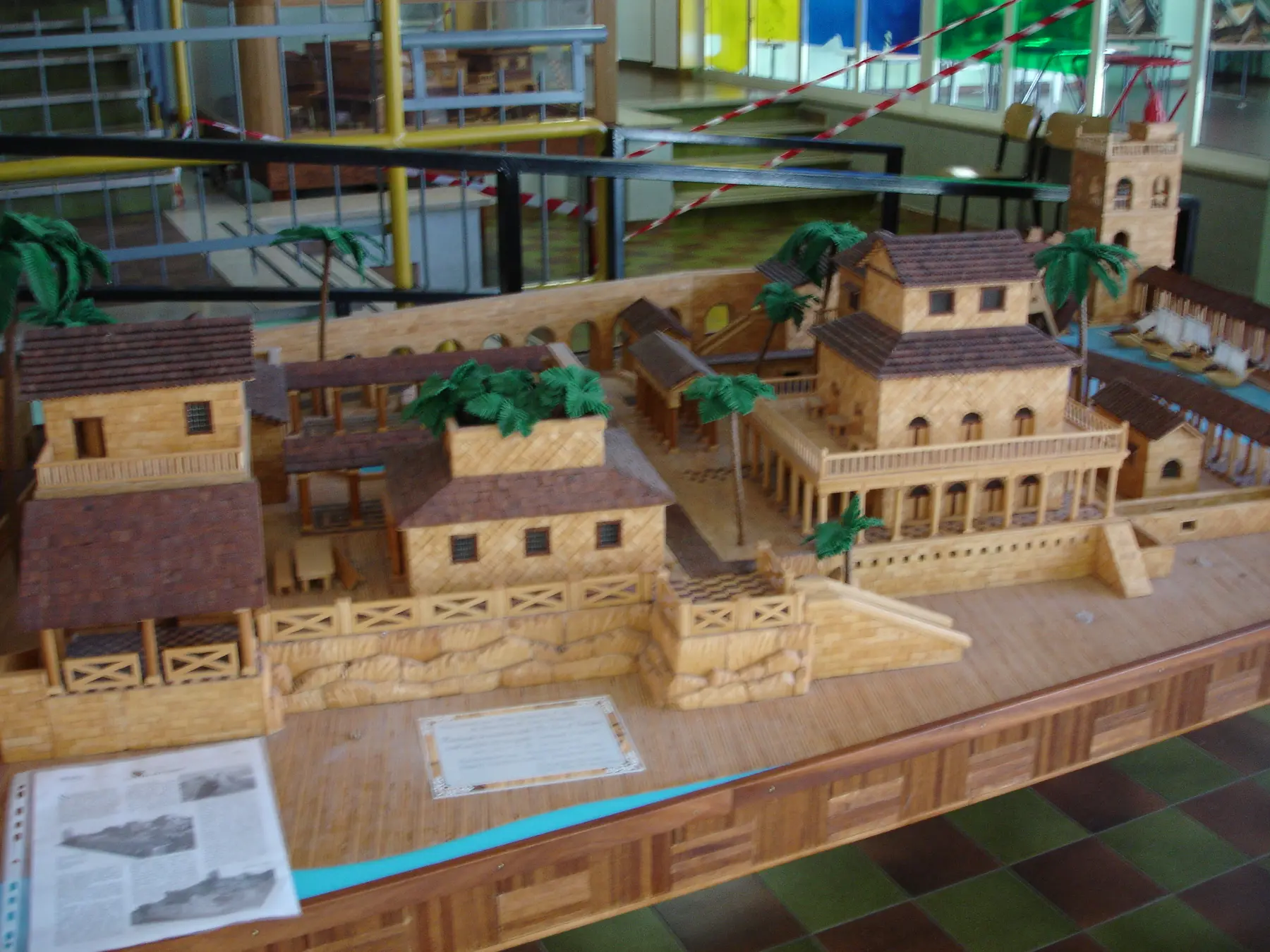
Lucius · public domain · Wikimedia CommonsThe model helps in understanding the archaeological layout, but it is not a photograph of the current landscape, nor does it prove the shape of the shoreline or the location of an access point.
Fullo88 · public domain · Wikimedia CommonsHOW WE WORKED
Photographs with reusable licenses; author, source, and location details consistent.
Original scenes based on the actual landscape; always labeled and never created by modifying copyrighted photographs.
Bathing conditions, access points, concessions, and services are subject to change; the date, source, and disclaimers remain visible.
VERIFICATION SOURCES
Lazio Regional Executive Resolution (DGR) 224/2026, season: May 1–September 30
Open the source ↗Designated watersCoordinates, names, and water quality classification for Ladispoli
Open the source ↗Waters not designated for swimmingOfficial 2026 boundaries of the Vaccina–Sanguinara zone and the river mouths
Open the source ↗ARPA Lazio checksSampling and updates during the season
Open the source ↗Coast and planningPUA/VAS report with coastline segmentation
Open the source ↗FREQUENTLY ASKED QUESTIONS
The Torre Flavia Marsh sector preserves the most natural landscape but is also the most fragile. Visitors must use only designated access points and respect the dunes, fences, and nesting areas.
Riva di Palo lists SUP, windsurfing, surfing, and canoeing among its activities; at Marina di San Nicola, Free Surfing Italia operates out of the Luciano beach club as a federally recognized surf and SUP school. Availability, the actual location, and conditions should be confirmed directly. The official Vaccina–Sanguinara stretch is not recommended, as it is not designated for swimming in 2026.
At Marina di Palo, the municipal project IN ONDA offered dedicated stations and assistance; At San Nicola, the Luciano beach facility lists ramps, a walkway, and a JOB chair among its amenities; opening times, booking procedures, and available equipment should be verified for the current season.
The beach includes sections not under private concession, though there is insufficient evidence to classify the entire stretch between the two commercial establishments as free public beach. The best-documented free section lies between the inclusive beach at Marina di Palo and Riva di Palo; current signage and official regulations are the authoritative references.
No. Each image is labeled: actual photographs indicate the author and license; two scenes are original editorial reconstructions because no specific, reusable photographs were available. The reconstructions do not alter the geography and do not serve as documentary evidence.
CONTINUE EXPLORING