A seaside residential frontage
The row of buildings reveals a hub for services and work—not a fortified city, nor a continuation of the walls of ancient Alsium.

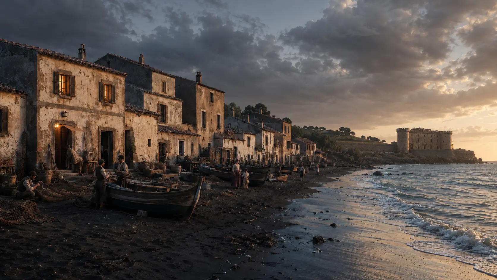
Palo Vecchio · Homes, work, and the sea
THE SITE AT A GLANCE
North of Palo Castle, a row of seaside buildings preserves traces of the complex that once served the estate. Homes, a tavern, boat storage, and spaces for agricultural and maritime activities formed a small, self-contained working community, distinct from both the fortress and the Roman city of Alsium.
Odescalchi archive records confirm the existence of a tavern at Palo between at least 1670 and 1676. In 1703, ecclesiastical sources note a church or parish near the fishermen's hamlet. While these documents prove the settlement existed, they do not yet allow for the definitive identification of the specific function of each room in the current row of houses.
The birth of the new Ladispoli in 1888 gradually drew away residents and services. The hamlet did not empty out overnight: maritime and daily activities continued, while erosion, abandonment, and residential conversions altered the buildings. Today, it is a private complex best understood through the relationship between the houses, the Castle, the beach, and the estate.
Six images for the landscape of Palo
There is currently no close-up image of the "Case Vecchie" (Old Houses) available under an open license. The gallery therefore reconstructs the context using an engraving, a painting, a map, and actual photographs of the coastline and the Palo complex.
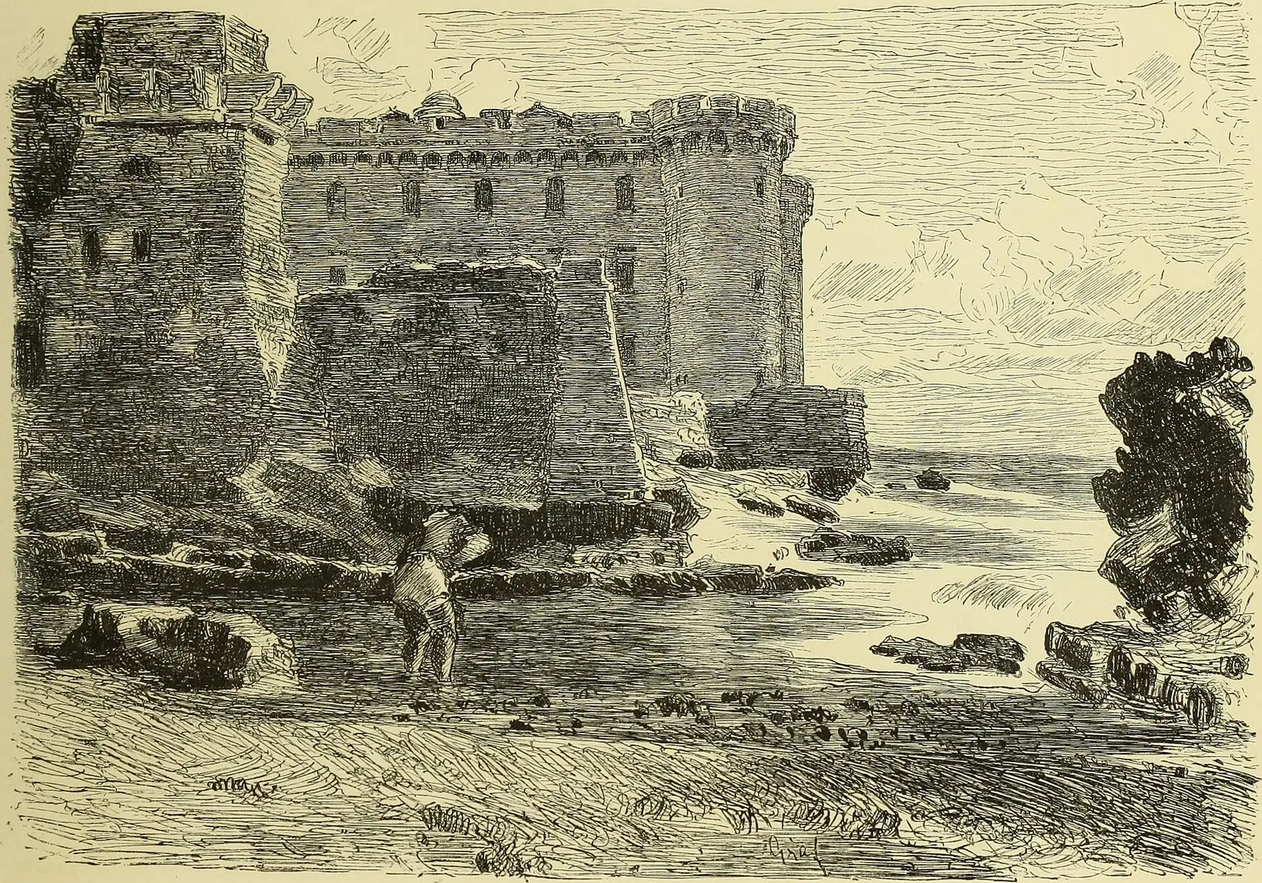
The engraving conveys the scale of the Castle and the coastline at the end of the 19th century. It is not a plan and does not precisely identify every house in the hamlet.
Internet Archive Book Images / Wikimedia Commons · no known restrictions · WebP conversion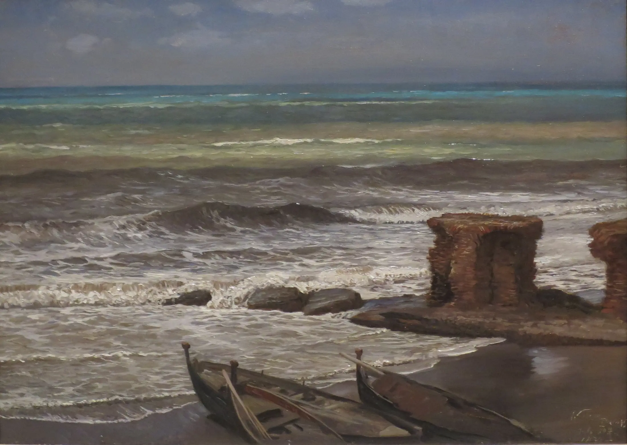
Vedder transforms the coastline into a painting. The work documents a 19th-century perception of the place, not the measurable appearance of the *Case Vecchie*.
Elihu Vedder · High Museum of Art / Wikimedia Commons · public domain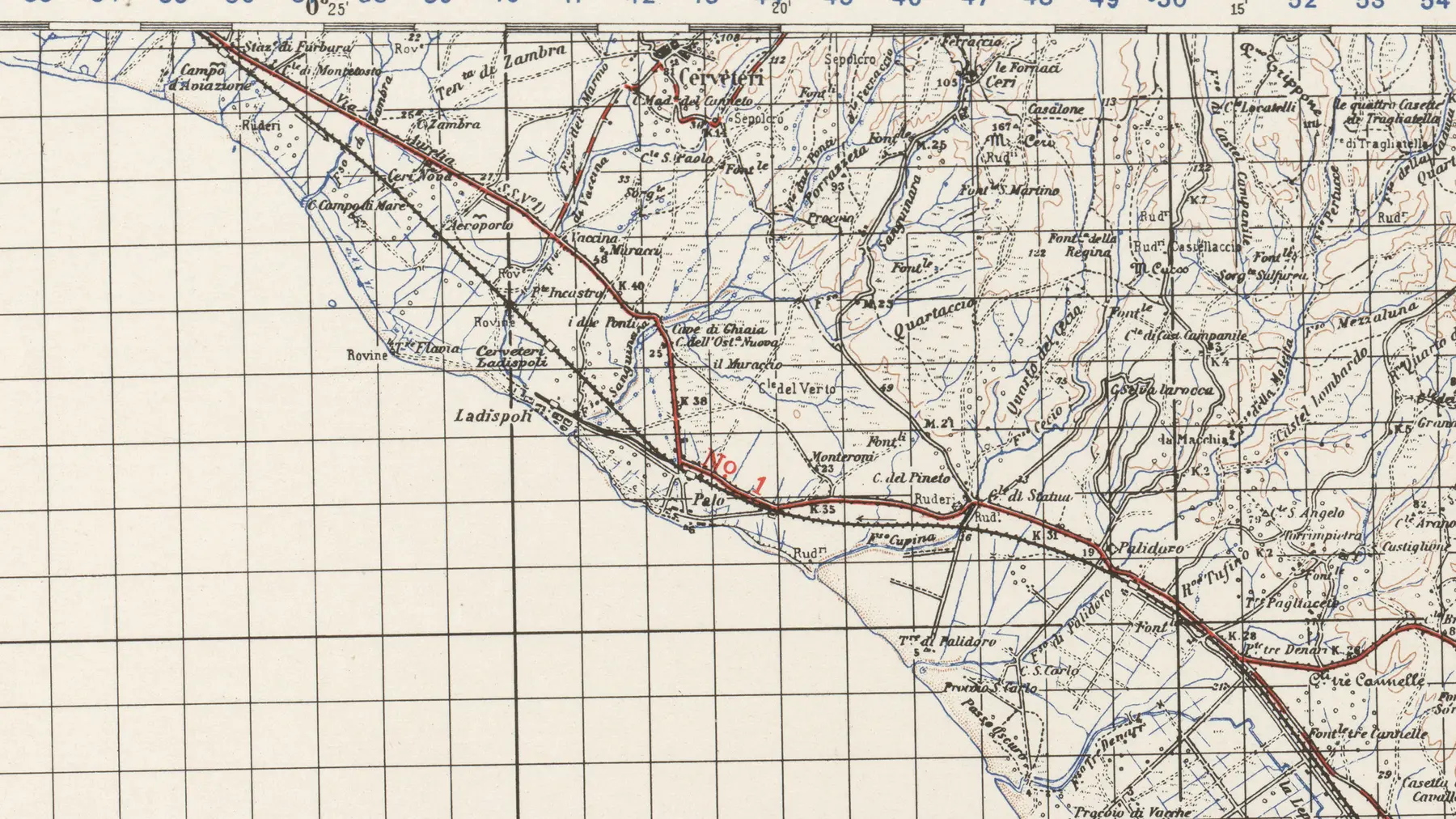
The map illustrates the relationship between the old town center, the Tyrrhenian railway line, and Ladispoli. The scale does not allow for the identification of individual buildings.
U.S. Army Map Service · Perry-Castañeda Library / Wikimedia Commons · public domain · cropped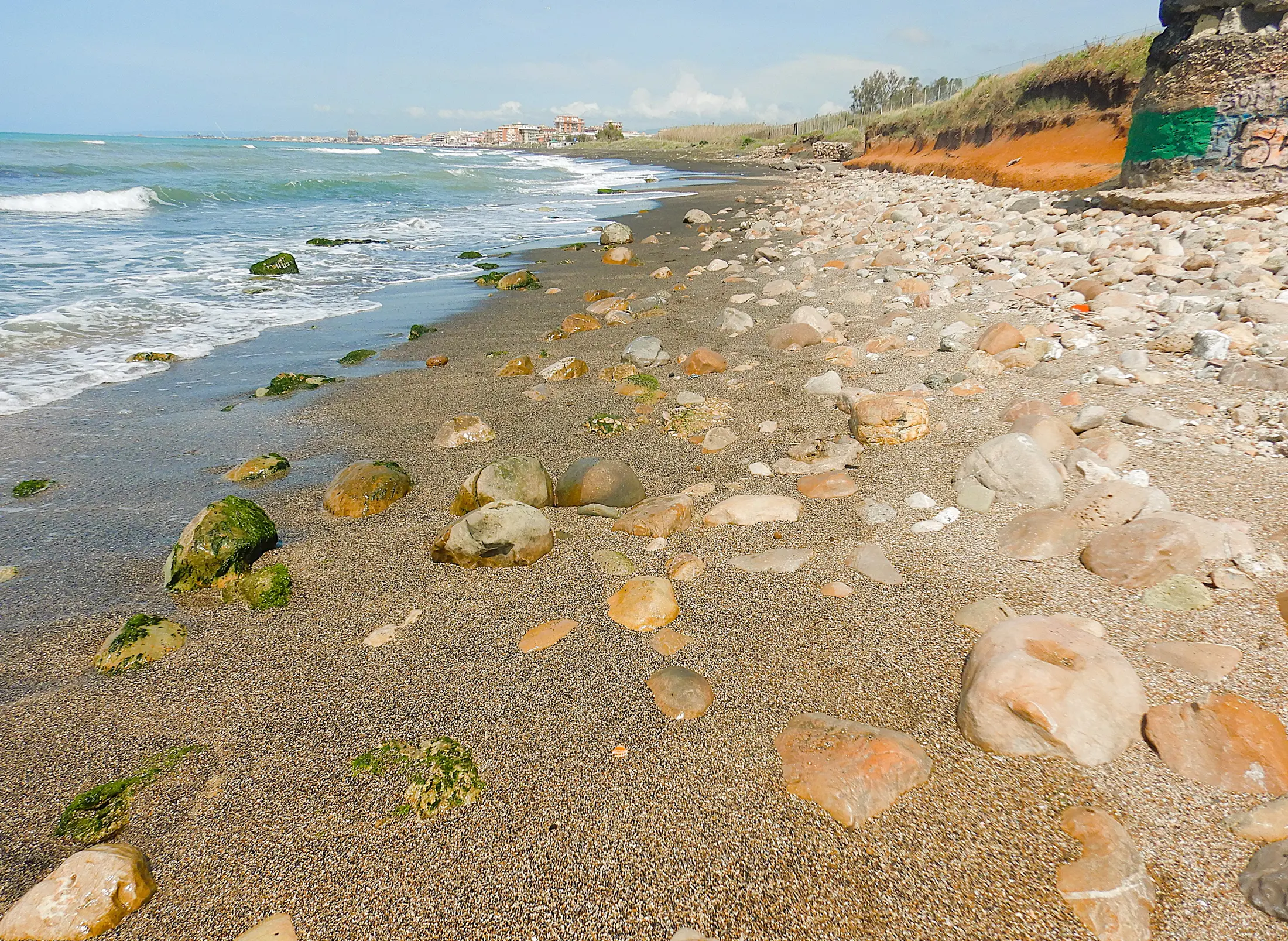
The photograph depicts the actual landscape and the action of the sea. It does not document a public path to the hamlet, nor does it justify access via the rocks or seawalls.
Albarubescens / Wikimedia Commons · CC BY-SA 4.0 · resizing and WebP conversion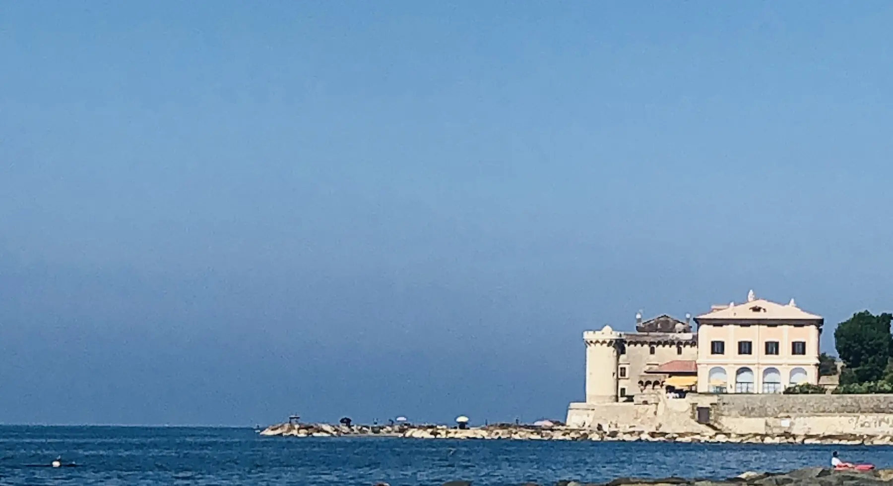
The contemporary view clarifies how close together the large complexes of Palo are. The "Case Vecchie" (Old Houses) fall outside the scope of the photograph.
Paoladepalma1979 / Wikimedia Commons · CC BY-SA 4.0 · resizing and WebP conversion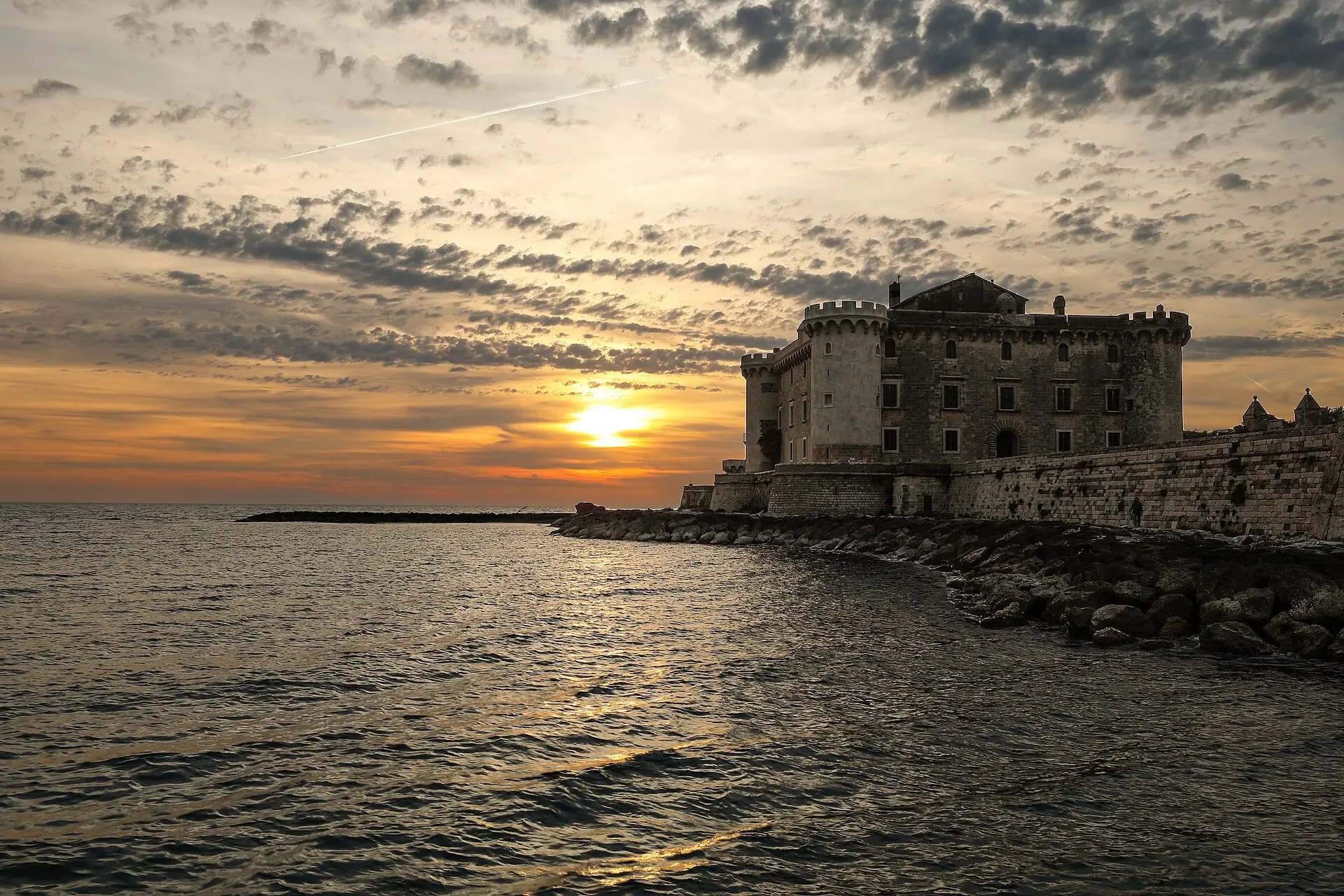
The castle serves as the dominant visual landmark, yet this page treats the fortress, the *Case Vecchie* (Old Houses), and the remains of ancient Alsium as distinct entities.
Matteo Pappadopoli / Wikimedia Commons · CC BY-SA 4.0 · resized and converted to WebPVISUAL ARCHIVE RECONSTRUCTED
Six original scenes transform source materials, open imagery, and historical comparisons into an accessible narrative. The first two interpret the site's current state; the others separate distinct moments in time, avoiding the conflation of the 17th-century tavern, the fishermen's hamlet, estate life, and the Tevere Remo club into a single day.
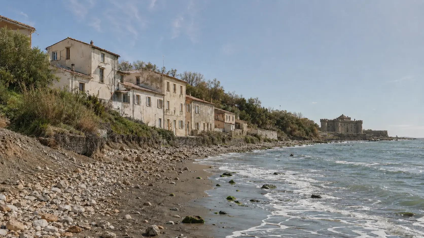
The view faces southeast: the current castle closes off the coastline at a distance of about 260 meters, featuring a low main structure, crenellated cylindrical towers, and a continuous connection to the mainland. The façade of the *Case Vecchie* (Old Houses) has been reconstructed based on comparative evidence; the scene does not indicate an access route and is not a substitute for an authorized photograph.
Original LADISPOLI.IT editorial reconstruction · 2026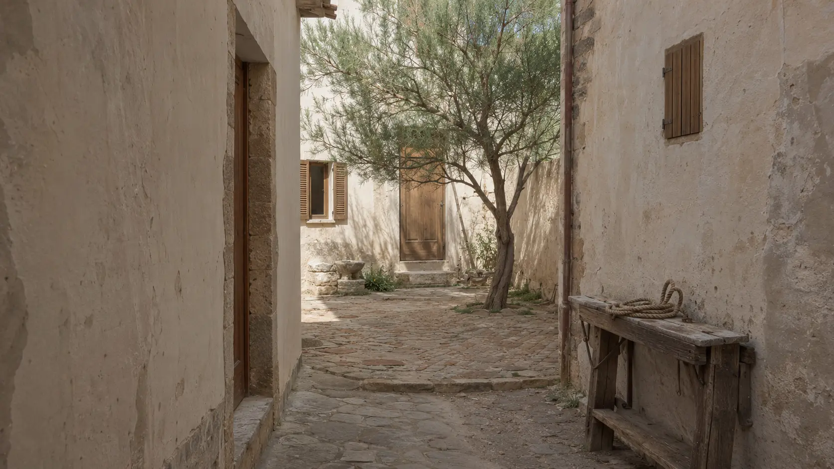
Materials, close-range proportions, and a sense of restraint stem from the building's external volumes and typological comparisons. The courtyard does not define a specific type of space, nor does it reveal how the private interiors are actually organized.
Original LADISPOLI.IT editorial reconstruction · interpretative detail · 2026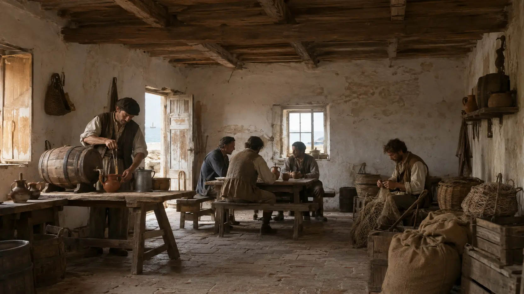
The Odescalchi accounts confirm the existence of the tavern; the tables, windows, goods, and people, however, are a typological representation. The scene is not attributed to any surviving room in the current building.
Original historical-visual reconstruction LADISPOLI.IT · 2026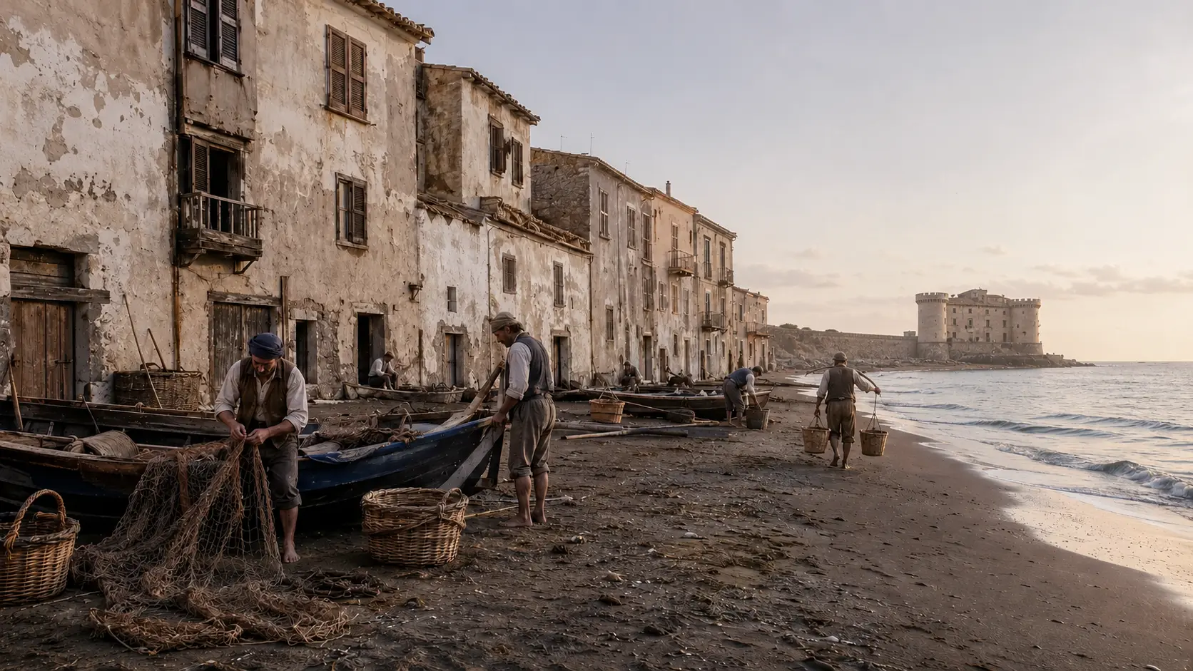
Evidence confirms the presence of the community and its relationship with the sea. The Castle is correctly repositioned on the mainland to the southeast and depicted in its historical phase—without automatically including the nineteenth-century windows; the number of houses, openings, boat shelters, and inhabitants is reconstructed through comparative analysis.
Original historical-visual reconstruction LADISPOLI.IT · 2026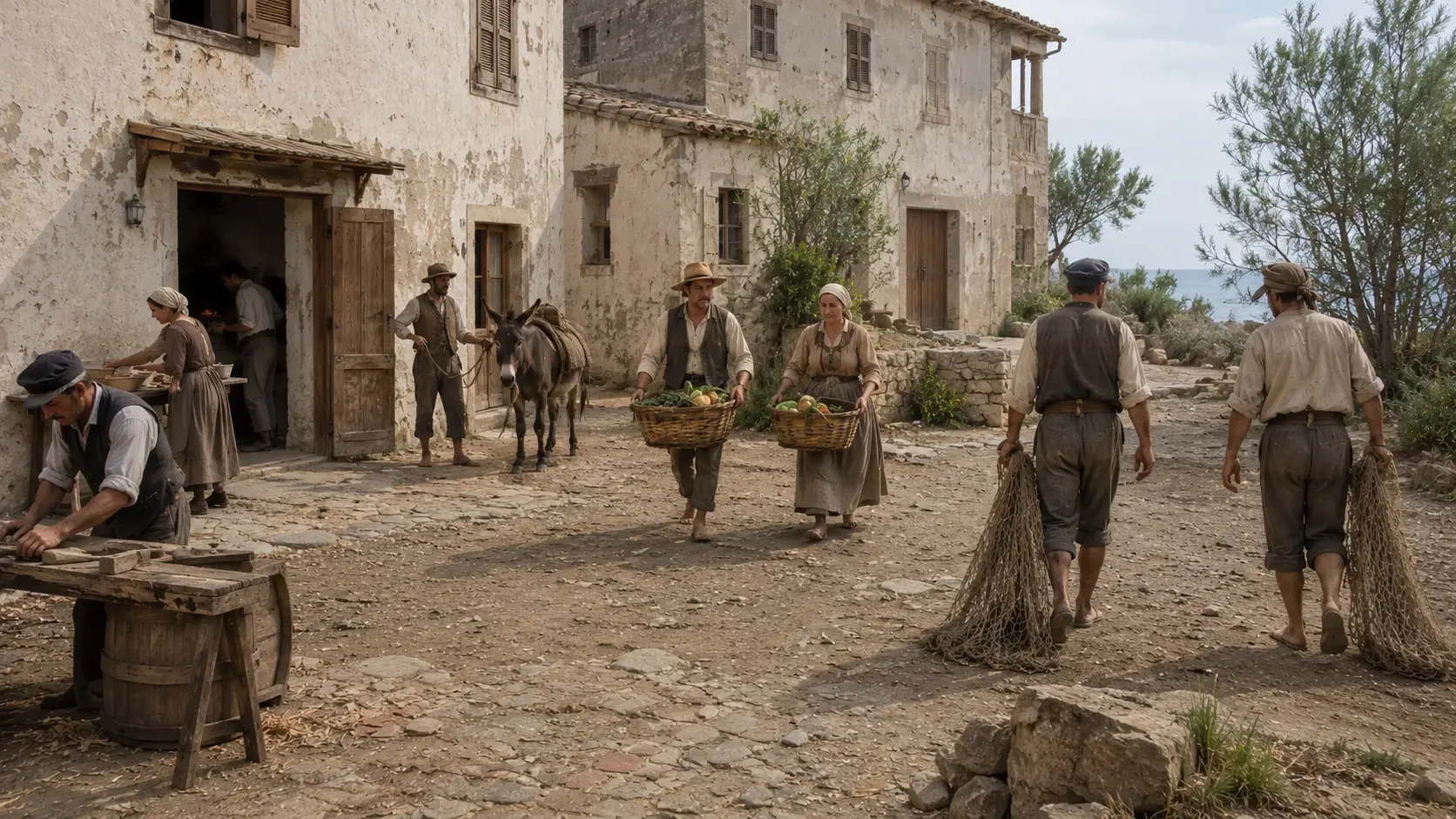
Fishermen, farmers, stable hands, and artisans are part of the picture handed down by historical sources. The scene avoids assigning the bakery, shops, and other services to buildings that cannot be identified with certainty.
Original historical-visual reconstruction LADISPOLI.IT · 2026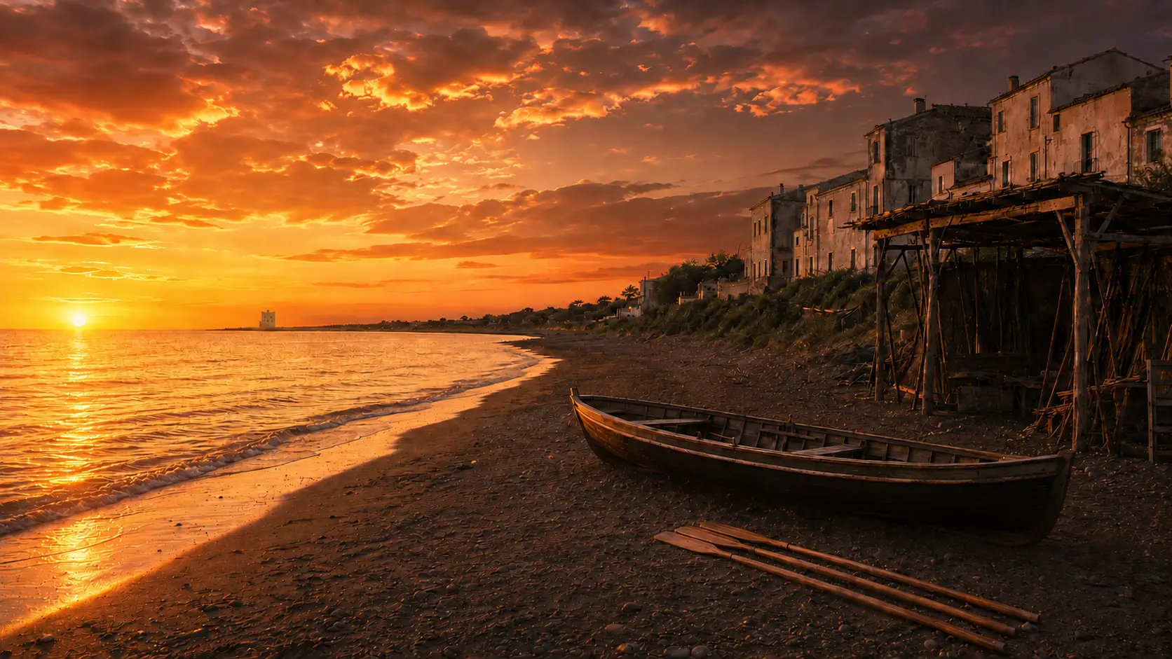
The room faces northwest: the Castle remains behind, while Torre Flavia appears small on the coast about 4.8 kilometers away, intact prior to the destruction of the 20th century. The sunset is set in late spring or summer, when the sun dips towards the west-northwest. The presence of the Club and the boathouse is documented; the boat, equipment, and coastal layout have been reconstructed.
Original historical-visual reconstruction LADISPOLI.IT · 2026WHAT REMAINS, WHAT HAS CHANGED
The hamlet is a layered entity. Some traces remain visible; others survive only in accounts, memories, and local reconstructions.
Two- or three-story buildings maintain the rhythm of the coastal settlement, which is now predominantly residential and has undergone internal alterations.
Private property · external viewingThe Odescalchi accounts prove the tavern's existence between 1670 and 1676; a direct physical link to the current building remains to be proven.
No standard public accessThe ecclesiastical record traces the community's origins back to 1703. Details regarding its dedication, reconstructions, and relationship to the later SS. Annunziata church still require diocesan verification.
Private building or one not regularly open to visitors.Sources mention daily and maritime functions, but do not yet allow for a definitive link to the structures visible today.
Historical memory · no exhibition setupThese are elements noted in local historical accounts that are now lost, transformed, or not located with sufficient precision.
Do not search within private propertySome northern houses were reportedly lost or compromised during the 20th century; this detail needs to be verified against land registry records and aerial photographs.
Rocks and seawalls do not make for a recommended routeESSENTIAL STEPS
Confirmed dates, archaeological phases, and traditions are presented for what they truly represent.
Local research suggests an origin prior to 1571—a claim not yet verified against the original document and one that cannot automatically be applied to the current building.
tradizione da controllareThe Odescalchi archive holds an account book titled “Palo. Inn. Income and Expenditure.”
documento archivisticoThe BeWeB record traces the parish origins of Palo back to this date; the form of the ancient chapel and its relationship to subsequent buildings remain to be verified.
dato di scheda · dettaglio edilizio apertoFishermen, farmers, artisans, and service providers bring the hamlet to life. Building-by-building identification remains incomplete.
quadro convergenteThe military presence is documented in the area's history and fits into the coast's long-standing strategic role.
fonte storica localeThe Club’s records document the seaside farmhouse at Palo from 1876, a boat storage area from 1877, and the subsequent relocation to Anzio.
storia istituzionaleThe Odescalchi–Cantoni subdivision project marks the creation of a new seaside resort served by the railway.
atto di fondazioneInhabitants and functions gradually shifted toward the new city; there is no evidence of a total or immediate abandonment.
processo documentatoThe building currently visible near the Via Aurelia dates to the 20th century and should not be automatically confused with the hamlet’s older chapel.
distinzione necessariaThe Tevere Remo station, the Harbormaster’s office, and other facilities are relocating or gradually losing their role at Palo.
cronologia generale; date puntuali non documentateLocal reconstruction indicates losses along the northern sector, which need to be measured using aerial photography and land registry records.
quadro da verificareThe buildings are transformed into private residences, while preserving part of the historic rhythm of the coastal frontage on the exterior.
stato generale leggibileWHAT TO OBSERVE
The row of buildings reveals a hub for services and work—not a fortified city, nor a continuation of the walls of ancient Alsium.
Odescalchi records confirm the building's function, but they do not, on their own, fully explain the construction history of the *Osteria Vecchia* (Old Tavern).
The sea sustained a daily economy—a reality evoked by the illustrative scene without attempting to reconstruct a specific day.
The hamlet was part of the production and residential system of Palo, which extended well beyond the mere row of houses on the beach.
Since 1888, the railway and the new seaside resort have attracted businesses and residents in a gradual process.
The Region acknowledges the historical value of the complex; it remains private property and should be viewed without encroaching upon entrances or grounds.
BEFORE GOING
The Lazio Region presents the Borgo di Palo Vecchio as a complex that is visible from the outside. There are no set opening hours, ticket office, or public route within the *Case Vecchie* (Old Houses).
Do not cross gates, courtyards, fences, or service entrances. Do not attempt to reach the waterfront by crossing over rocks, seawalls, or eroded sections; the coastal path can be difficult and is not recommended as a route. The map indicates the site itself, not a visitor entrance.It serves as the institutional reference point for the landscape complex, not as a guarantee of public access.
View only from permitted roads and areas; properties, homes, and their grounds remain private.
The sea, erosion, and narrow passages make it inadvisable to approach along the shoreline or atop masonry structures.
CONSULTABLE SOURCES
This first edition organizes the most solid information. Individual pages may be expanded with documents, surveys, and archival photographs.
Institutional record for the complex; privately owned, with visibility limited to the exterior.
Open the source ACCREDITATIONRegional act including the village in the system of accredited historical and landscape complexes.
Open the source ARCHIVEInventory containing documentation on the Palo estate, including 17th-century accounts for the inn.
Open the source FAMILY ARCHIVESArchival record outlining the family's properties, administration, and document collections.
Open the source ECCLESIASTICAL HISTORYSource regarding the parish's origins in 1703 and the distinction between the ancient site and the 20th-century building.
Open the source PARISHUpdated institutional overview of the ecclesiastical community of Palo.
Open the source MARITIME HISTORYOfficial chronology of the coastal farmhouse at Palo (from 1876), the boathouse (from 1877), and the relocation to Anzio.
Open the source Sports contextInstitutional confirmation of the club's historic role and its presence in Palo.
Open the source CONTEMPORARY PROTECTIONRecent measure regarding internal alterations, serving to confirm the complex's active, private nature.
Open the source LOCAL RESEARCHDetailed reconstruction of buildings, their functions, and their transformations, distinguishing between documented facts and identifications that remain to be verified.
Open the source DISCOVER THE SECTOROpen the complete catalog of monuments, archaeological sites, and historical landscapes.
Open the sector DISCOVER THE SECTOROpen the complete catalog of monuments, archaeological sites, and historical landscapes.
Open the sectorCONTINUE THE ROUTE
The nearby fortressOdescalchi Castle of PaloDiscover 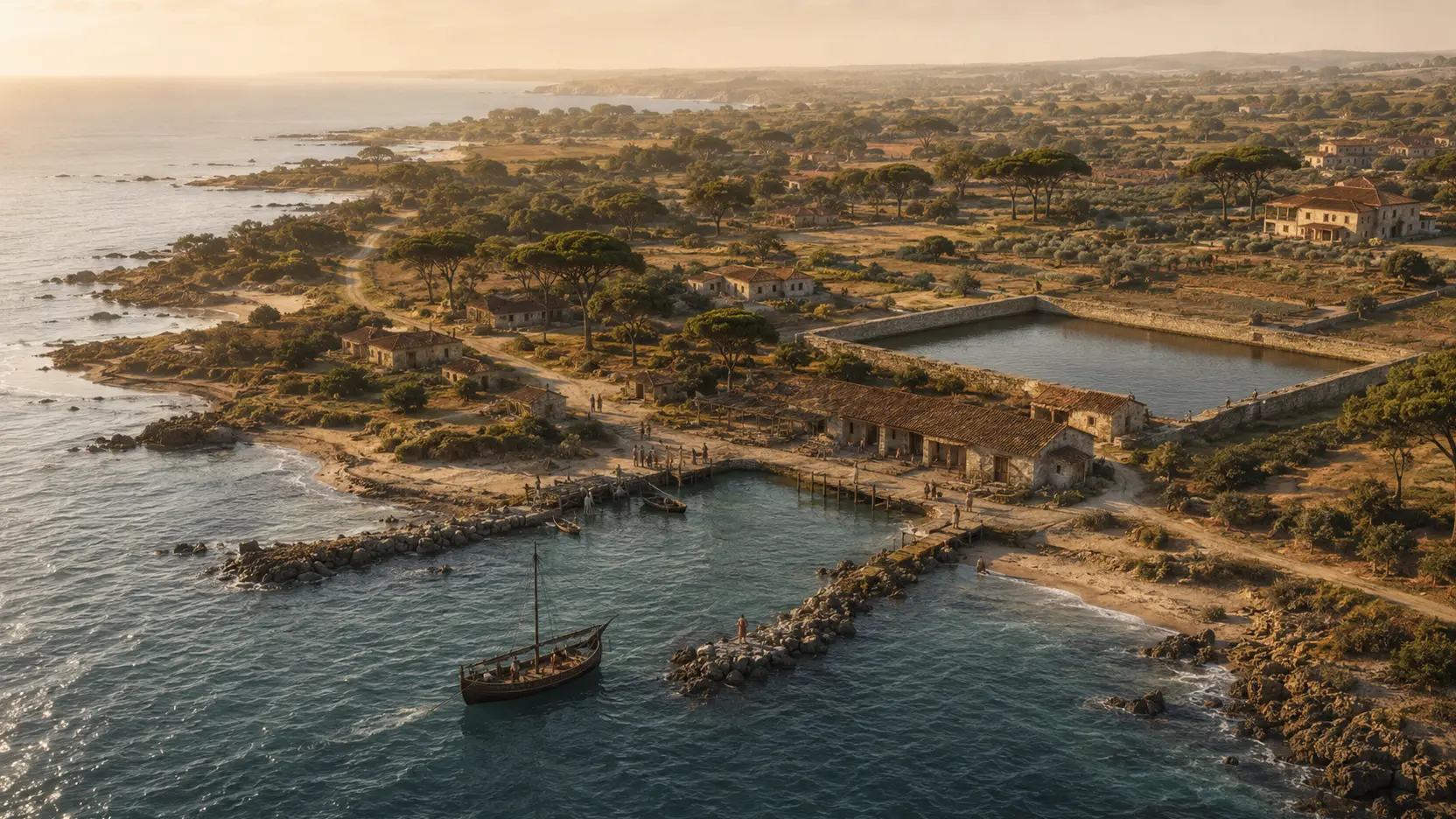 The Roman city distinguished from the villageAlsium and the ancient portDiscover
 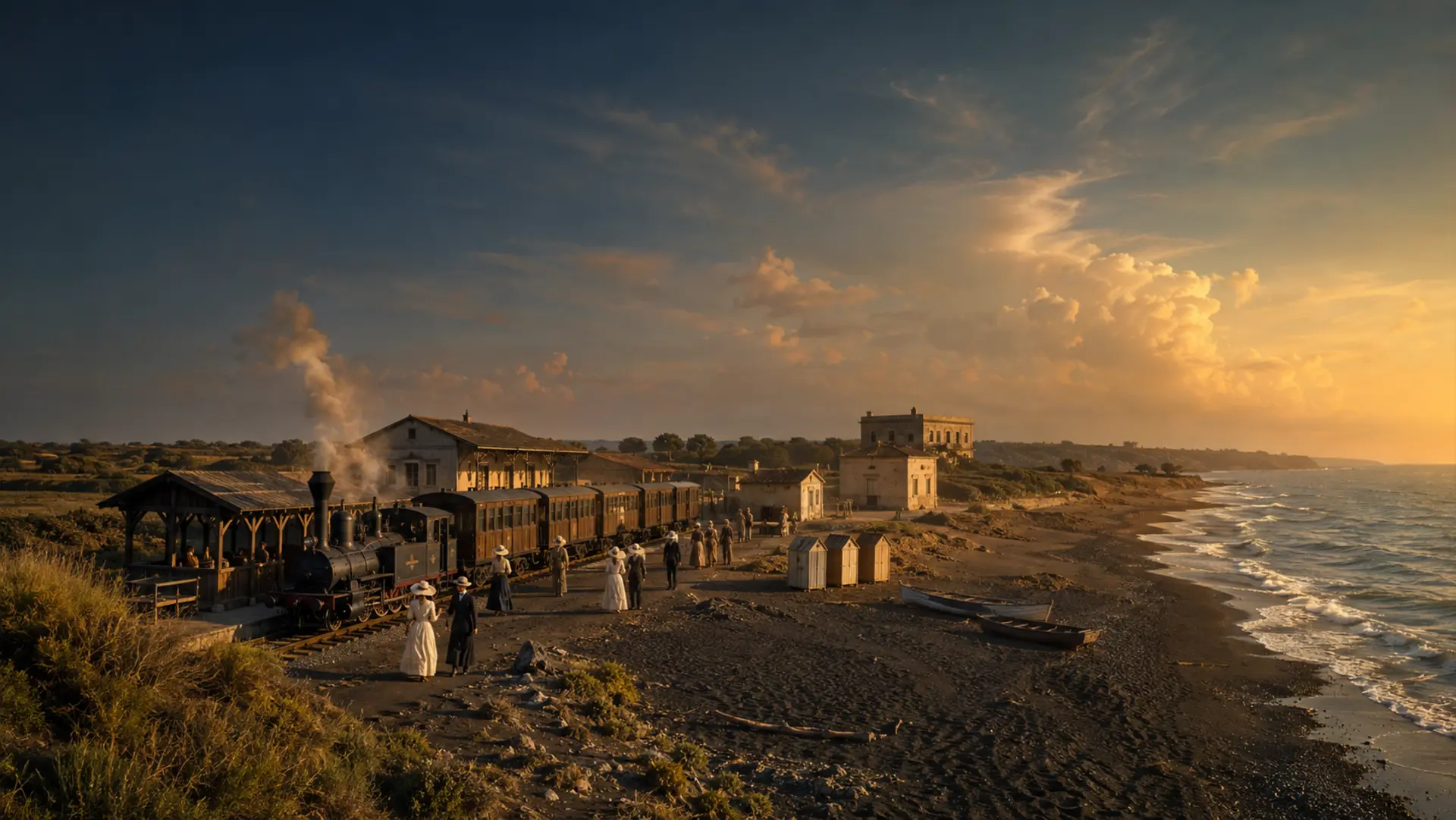 The new center from 1888 onwardsBirth of LadispoliDiscover
 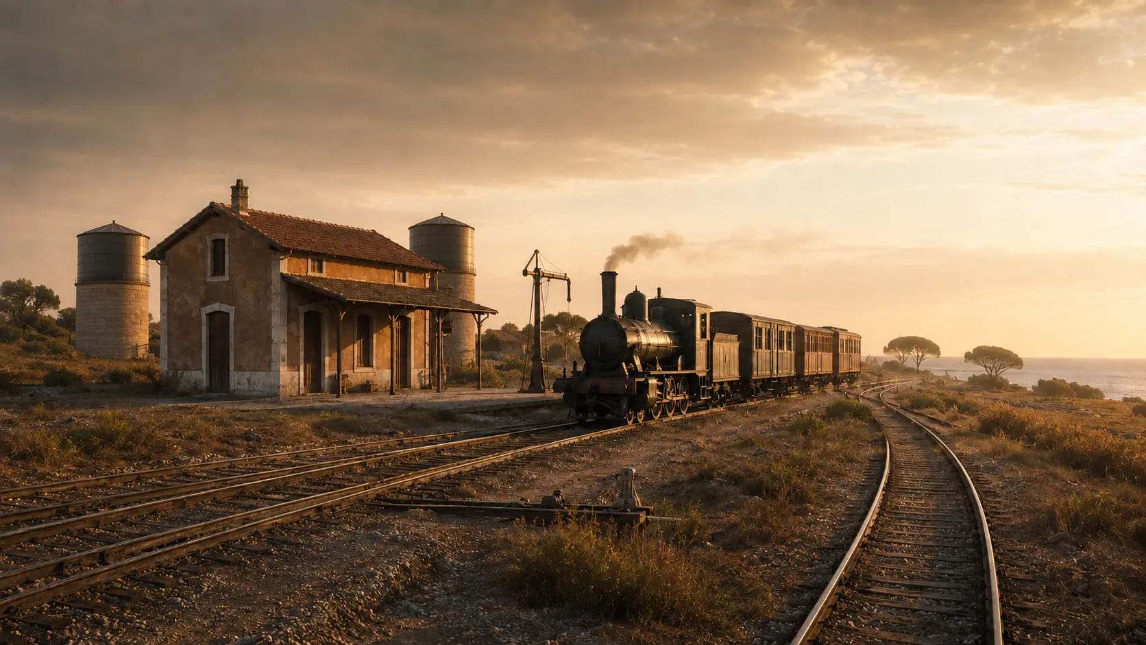 EDITORIAL RECONSTRUCTION · The railway junction since 1859Palo StationDiscover
 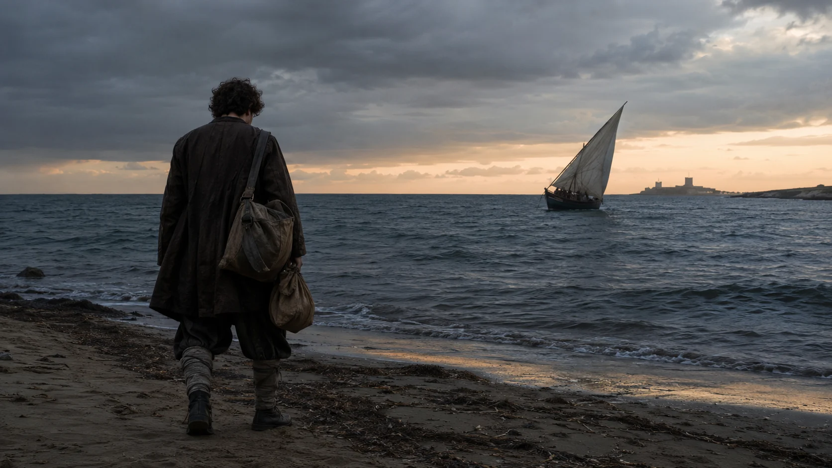 EDITORIAL RECONSTRUCTION · The 1610 landingCaravaggio at PaloDiscover