Reserve in the rural landscape
Classification as cisterns is consistent with rural water collection and storage; the specific users and activities served are not documented in the public records.

Olmetto · Casale al Vento · Rural archaeology
THE SITE AT A GLANCE
Two distinct examples of Roman water management survive in the rural territory of Ladispoli. At Muracci di Palo, in the Olmetto locality, a tall, isolated masonry core rises from the fields. At Casale al Vento, a section of *opus reticulatum* masonry is incorporated into the façade of a later rural building.
The municipal records identify both sites as Roman cisterns but do not publish details regarding dimensions, capacity, floor plans, water supply systems, or precise dating. Storing water in a landscape of villas, fields, and rural paths is a logical function; however, determining exactly who used each structure—and during which period—requires excavation data and surveys not available in public-facing materials.
Surveys in the Casale al Vento area also point to the existence of a rural sacred site frequented since the Archaic or late Archaic period. This represents an older layer of the landscape, not proof that the Roman cistern served the sanctuary. The site’s significance lies precisely in this layering, not in any fabricated functional continuity.
FIVE OPEN COMPARISONS, ONE TYPICAL SCENE
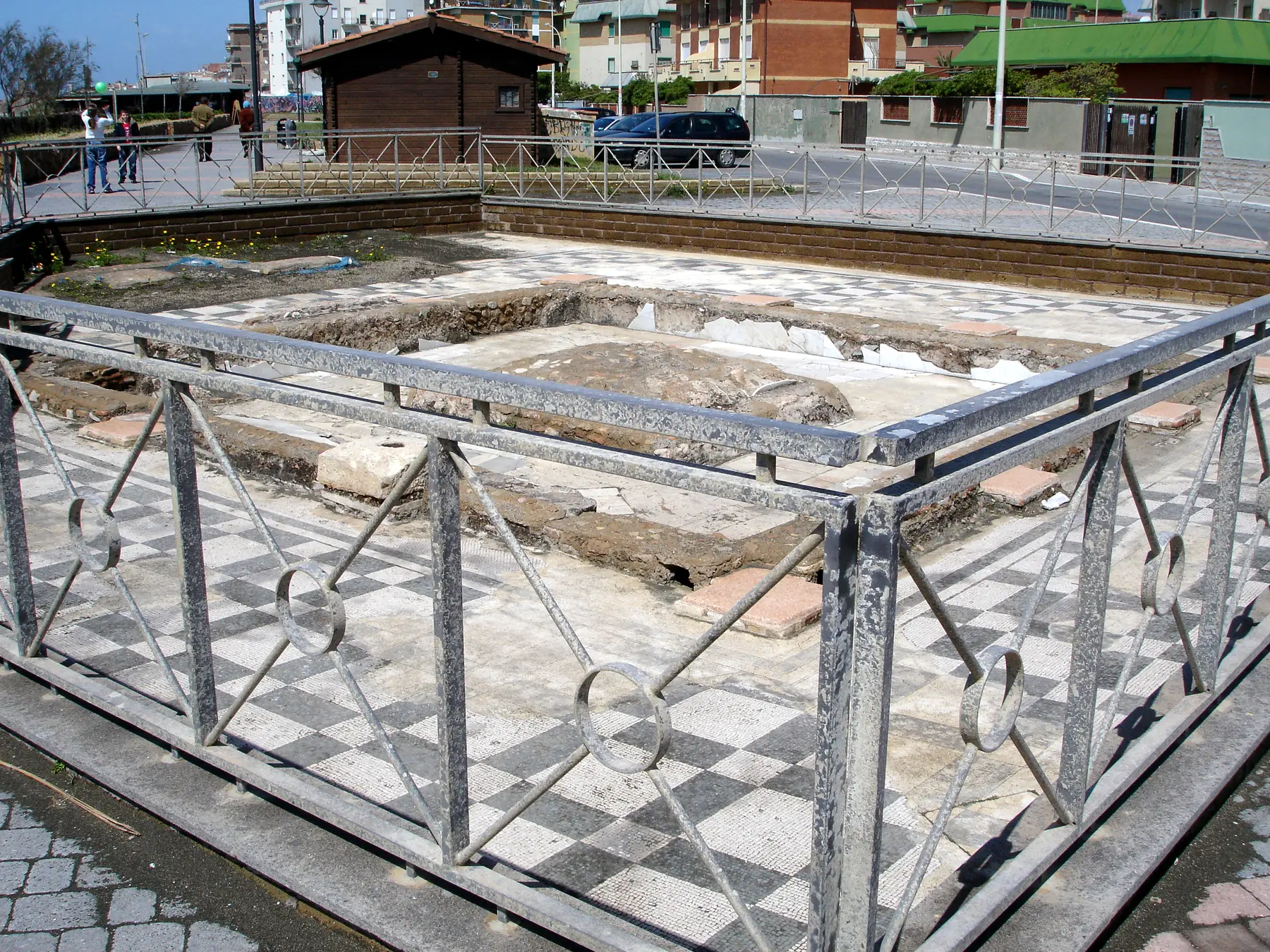
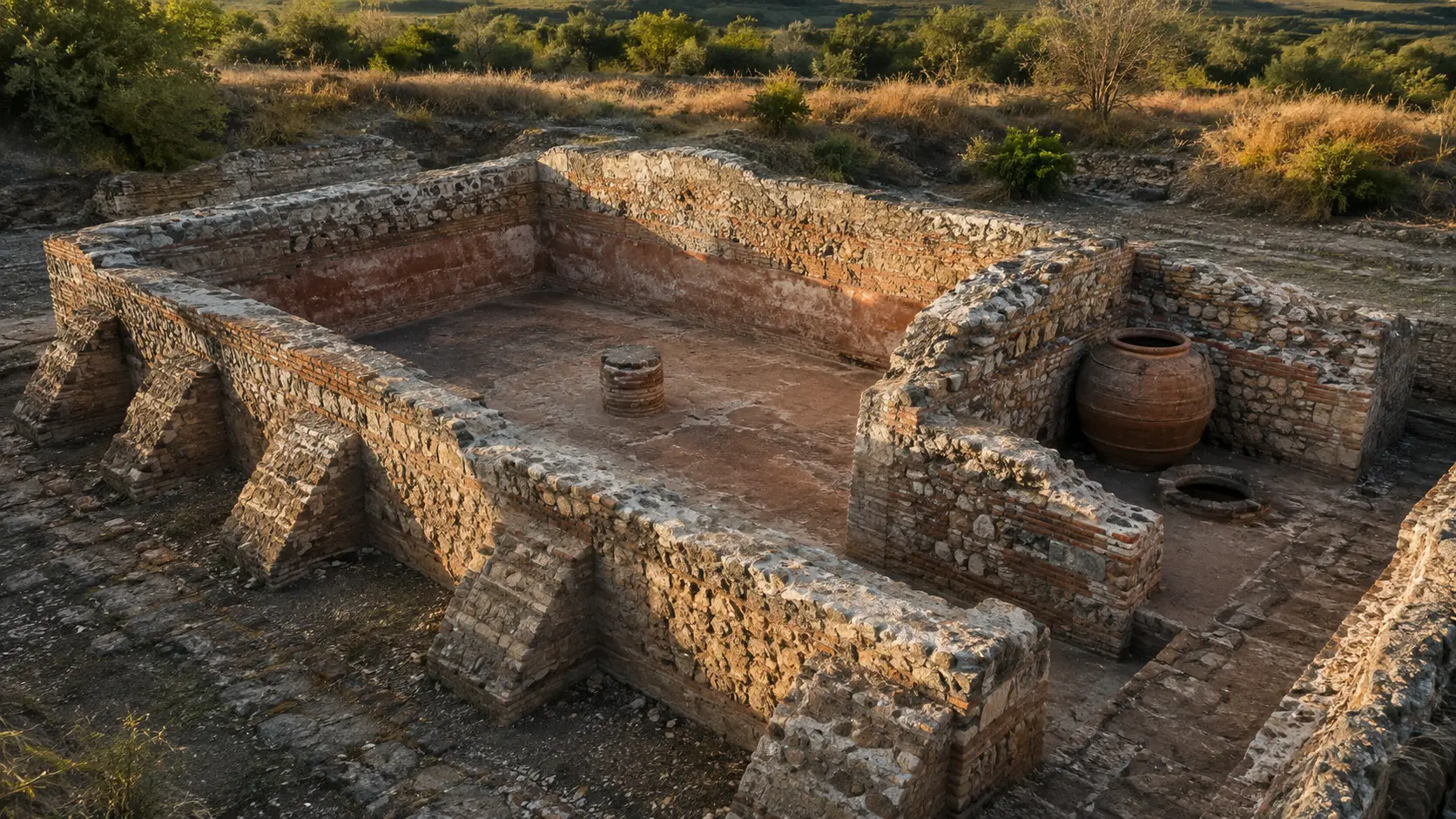
The municipal records list the two sites, but the photographs are not copied until the specific file license is confirmed. The comparative examples published here help interpret construction techniques and functions, though they are clearly noted as originating from other locations.
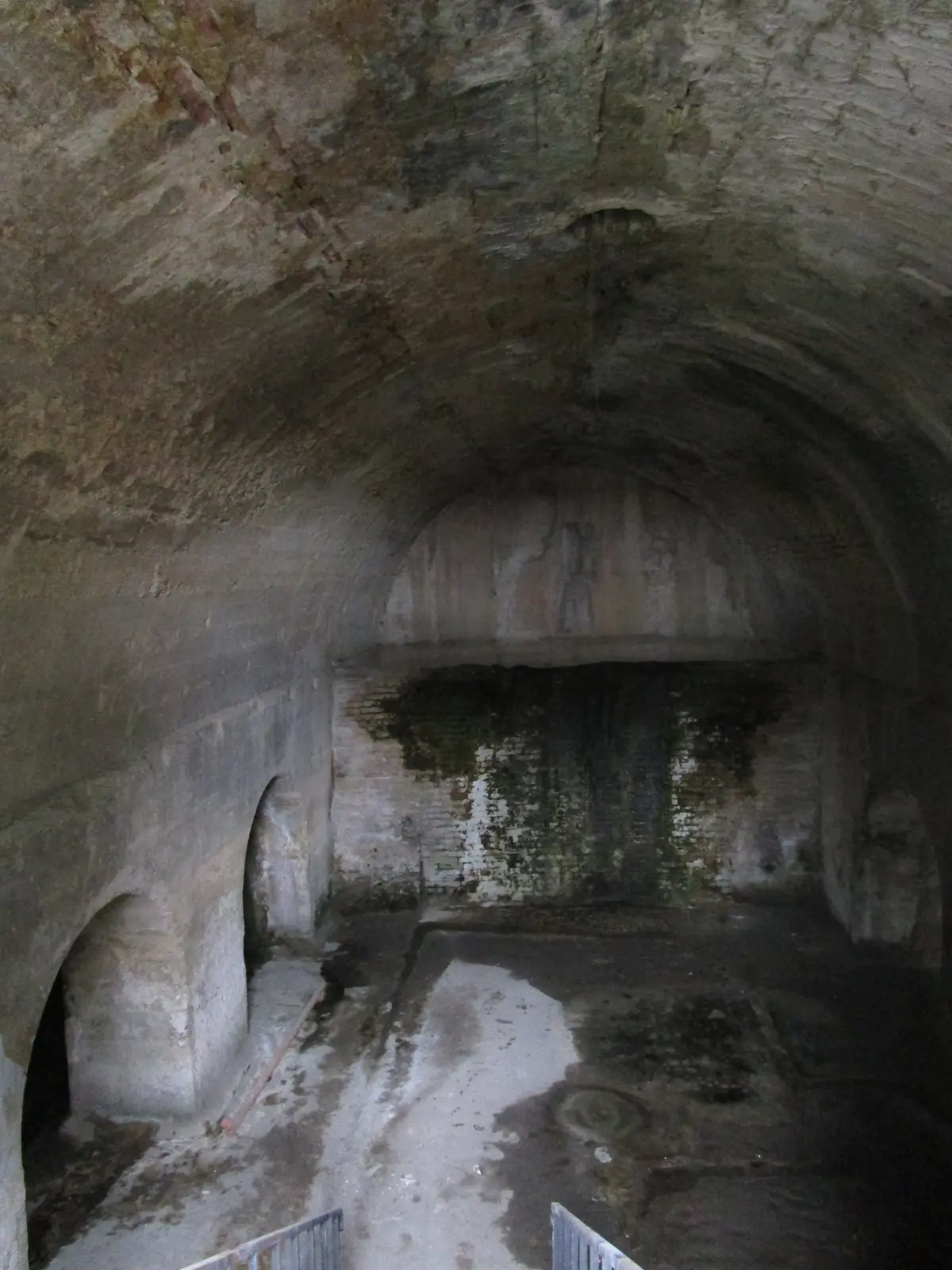
The Chieti cistern helps us understand a covered hydraulic structure, but it belongs to the Baths of Teate and does not reconstruct the sites of Muracci or Casale al Vento.
Cats’ photos / Wikimedia Commons · CC0 1.0 · WebP conversion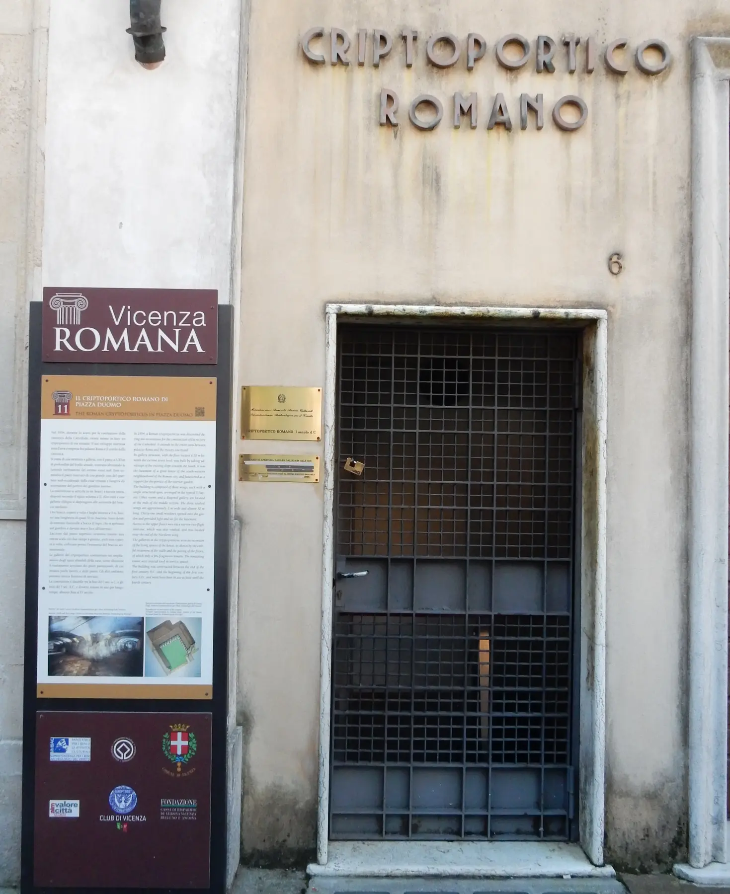
The Vicenza cryptoporticus introduces the theme of underground, vaulted spaces. It is not a cistern, it does not depict Ladispoli, and it does not hint at the shape of the two local structures.
Mpiva / Wikimedia Commons · CC0 1.0 · WebP conversion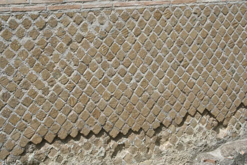
The example of Hadrian’s Villa illustrates the principle of *opus reticulatum* (net-like masonry). However, the conservation methods, materials, and construction techniques do not automatically correspond to those of Casale al Vento.
Pouwerkerk / Wikimedia Commons · CC BY-SA 3.0 · WebP conversion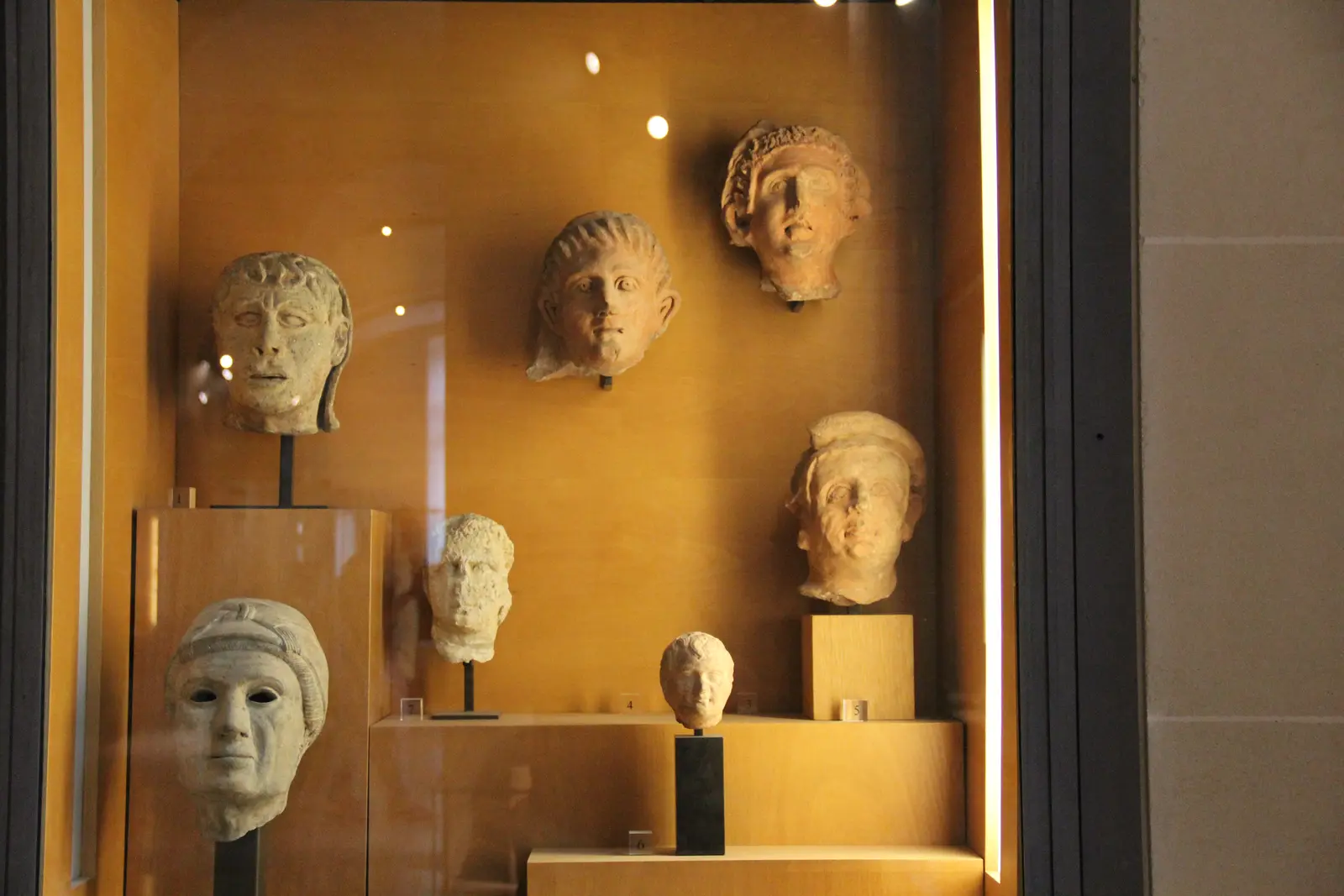
The terracotta pieces in the Louvre evoke a category of votive offerings, not the artifacts from Casale al Vento. None of the objects in the photograph originate from the Ladispoli area.
Gary Todd / Wikimedia Commons · CC0 1.0 · WebP conversion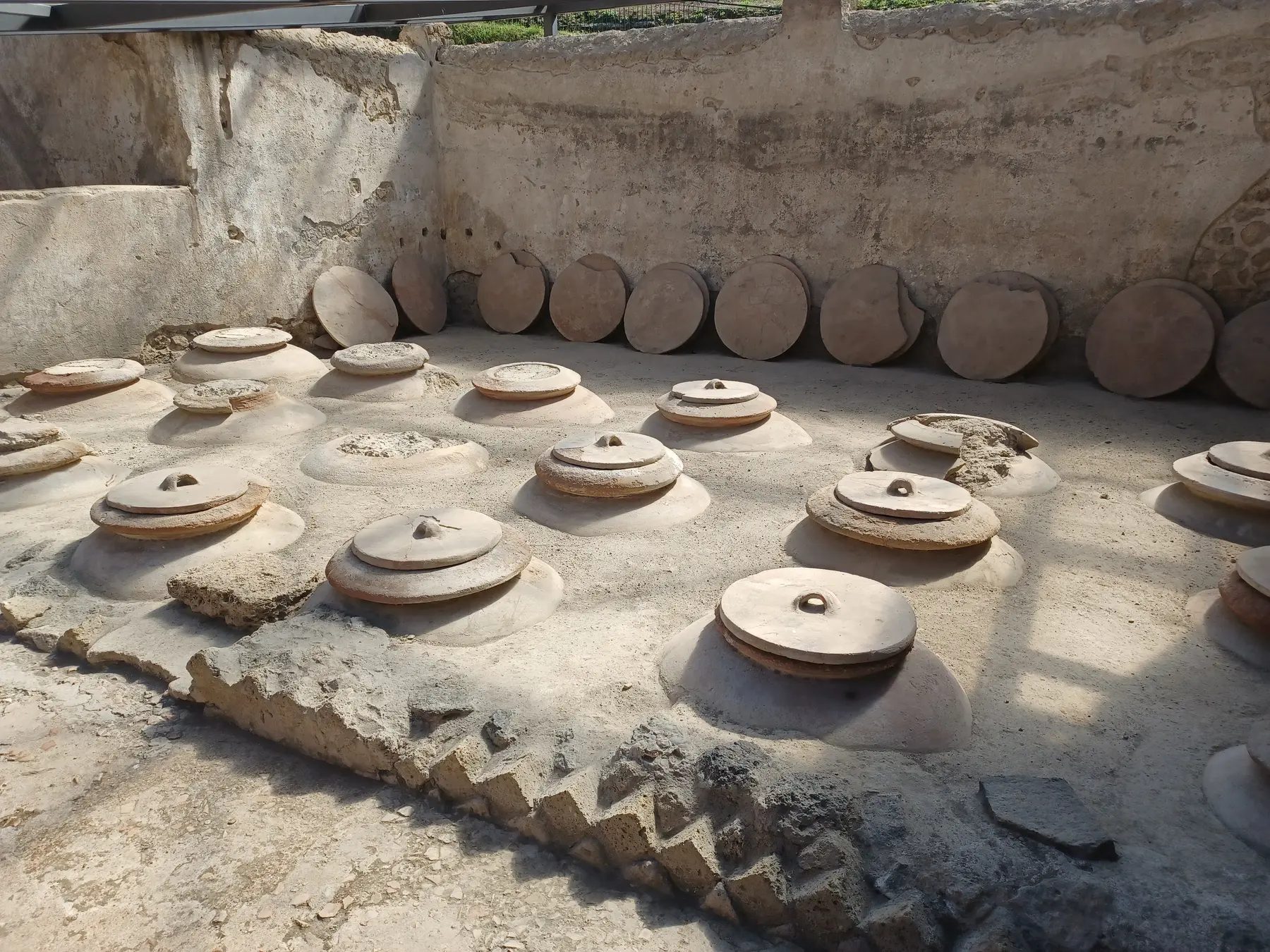
The *dolia* (large storage jars) at Villa Regina held foodstuffs and demonstrate a different type of rural storage technology. This comparison helps distinguish between large vessels, production areas, and cisterns.
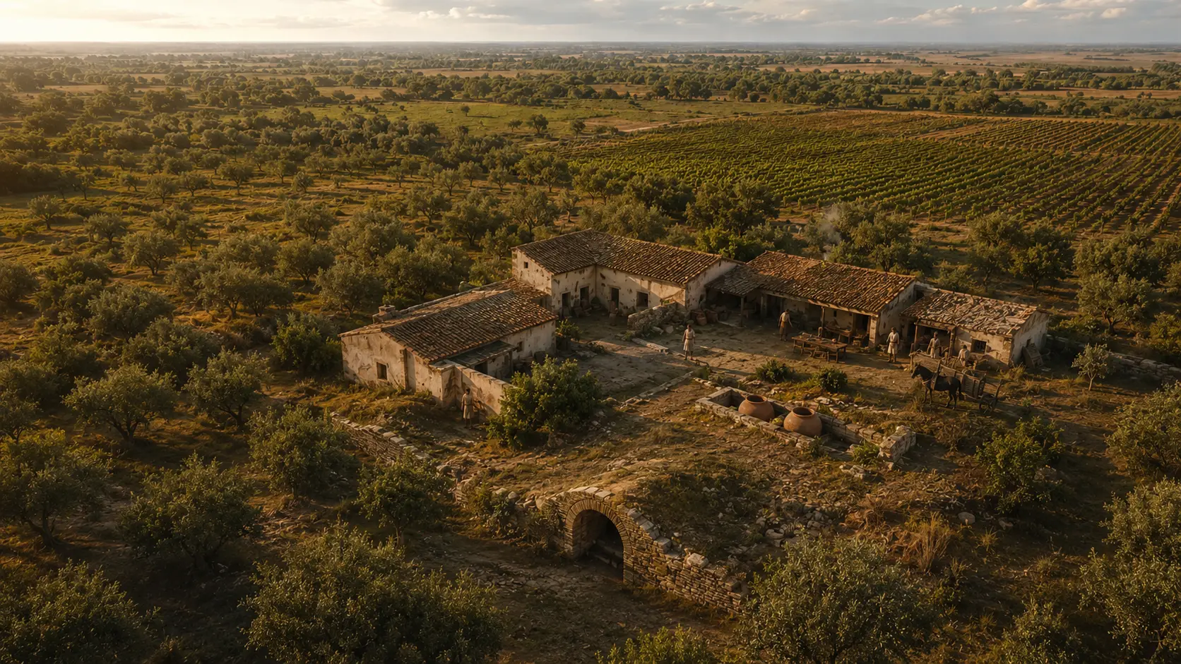
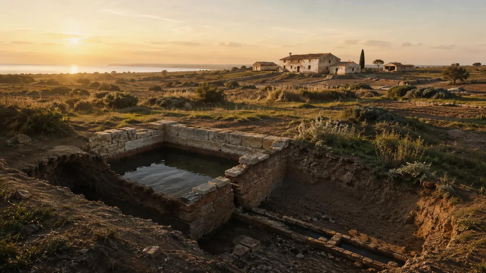
Carla Brain / Wikimedia Commons · CC BY-SA 4.0 · resized and converted to WebPThe open cistern, channels, farmhouse, and landscape are evocative elements. The scene does not depict a real site, nor does it combine the two structures into a single complex.
LADISPOLI.IT editorial reconstruction · generated imageA SYSTEM OF SITES, NOT A LIST OF “CISTERNS”
Topographical precision prevents the conflation of rural remains, coastal villas, and necropolises simply because they share water sources or similar place names.
Isolated Roman hydraulic complex in the agricultural landscape, lacking sufficient public data to reconstruct the associated villa.
No published visiting routeRoman *opus reticulatum* masonry incorporated into a later rural building, within an area occupied across multiple periods.
Building and grounds not presented as a visitor attraction.Two-nave structure with vaults and buttresses, part of another archaeological complex already described on the Marina di Palo page.
Separate area · check in advance with the Municipality or on the dedicated webpageMixed-media work, *cocciopesto*, and central pillar belonging to a Roman country villa with its own history and subsequent burials.
Separate area · no independent accessPlace names from the archaeological landscape of the Fosso Vaccina; not synonymous with Muracci di Palo all’Olmetto.
Do not use the name to pinpoint a single remain.ESSENTIAL STEPS
Confirmed dates, archaeological phases, and traditions are presented for what they truly represent.
Surveys have identified a rural sacred area within the landscape; it does not coincide with the cistern, nor does it clarify the cistern's function.
quadro archeologico territorialeMuracci di Palo and Casale al Vento are classified by the Municipality as Roman hydraulic structures, without a more precise public dating.
identificazione ufficiale · cronologia ampiaAt Casale al Vento, the ancient masonry is incorporated into a later rural building, preserved through reuse.
stratificazione visibileIn 2001, Flavio Enei published the *Ager Caeretanus* Project; Zifferero refers readers to it for information on site 533, Casale al Vento.
ricerca territorialeThe synthesis of data from the Municipality, GATC, and GAR makes it possible to distinguish the Via Albatros and Piane di Vaccina cisterns from the two rural sites discussed here.
sintesi archeologicaOfficial records identify the sites but do not publish opening hours, access details, or information on a designated archaeological route.
quadro delle informazioni pubblicateWHAT TO OBSERVE
Classification as cisterns is consistent with rural water collection and storage; the specific users and activities served are not documented in the public records.
The standing structure at Olmetto remains a prominent feature of the landscape, yet it does not provide enough information to reconstruct the layout of the ancient complex surrounding it.
The masonry structure at Casale al Vento is a physical fact; its chronology and precise function require an excavation context.
The subsequent building incorporated the Roman section, transforming how it is perceived while also contributing to its survival.
The rural sacred area expands the history of the district without automatically serving as the source of demand for the cistern.
Photos from other sites illustrate *opus reticulatum* masonry and hydraulic structures, but they cannot replace missing local records.
BEFORE GOING
The municipal records list the place names "Olmetto" and "Via Casal dei Venti" but do not provide information on opening hours, tickets, access, or a designated visitor route. The page offers neither precise coordinates nor directions on how to reach the sites.
Do not enter farmland, courtyards, buildings, or fenced areas, and do not follow unauthorized paths. For any openings or visits, please refer exclusively to initiatives organized by the Municipality, the Superintendency, or recognized associations. A published photograph does not imply free access to the spot where it was taken.The ruin is not presented as an archaeological park; do not attempt to enter informally from the fields.
Do not turn a photographed wall into a destination with guaranteed access.
Events, visits, and access conditions must be announced by the responsible bodies prior to departure.
CONSULTABLE SOURCES
This first edition organizes the most solid information. Individual pages may be expanded with documents, surveys, and archival photographs.
Official identification of the remains at the Olmetto site; the photograph remains available for viewing in the record but is not reused on the page.
Open the source OFFICIAL RECORDOfficial identification of the Roman section; the photograph remains available for viewing in the record but is not reused on the page.
Open the source PORTAL RIGHTSThe general policy is insufficient to clarify the authorship and reuse rights of individual files; for this reason, municipal photographs are linked within the entries rather than copied into the gallery.
Open the source TERRITORIAL STUDYClassifies Casale al Vento among rural sacred sites and refers to site 533 in the Enei survey.
Open the source SURVEYBibliographic record from the territorial survey; the identification of Casale al Vento as site 533 (pp. 240–241) is referenced via Zifferero.
Open the source TERRITORIAL PROTECTIONOfficial conservation dataset, used as a framework rather than an archaeological description or a graphic asset for redistribution.
Open the source CIVIC COMPARISONIt allows the structures at Via Albatros and Piane di Vaccina to be distinguished from the two rural remains.
Open the source DISCOVER THE SECTOROpen the complete catalog of monuments, archaeological sites, and historical landscapes.
Open the sector DISCOVER THE SECTOROpen the complete catalog of monuments, archaeological sites, and historical landscapes.
Open the sectorCONTINUE THE ROUTE